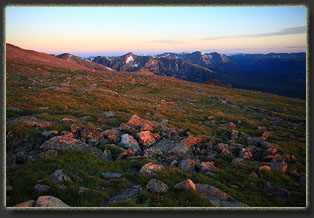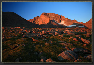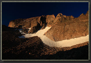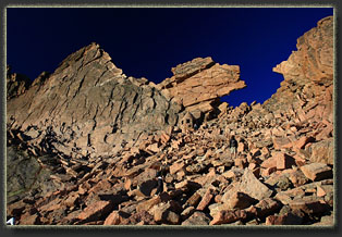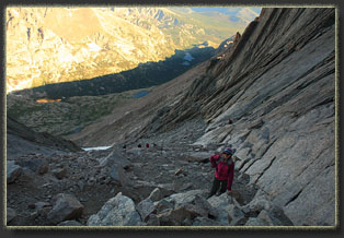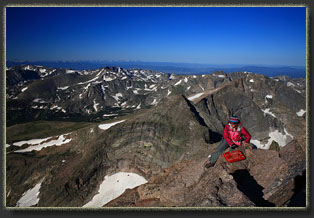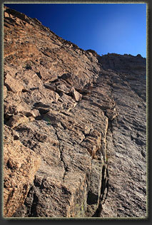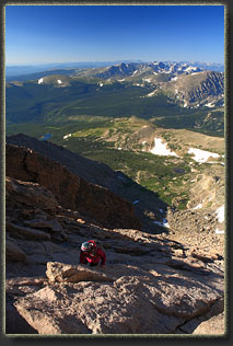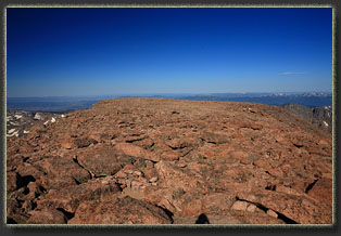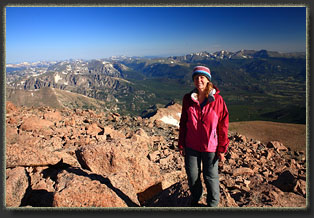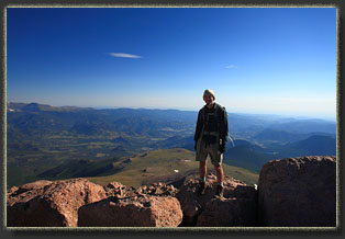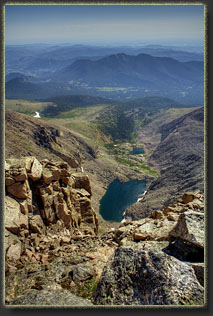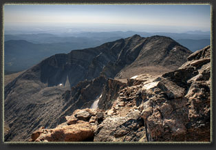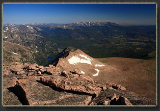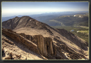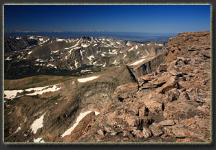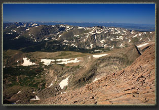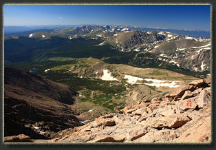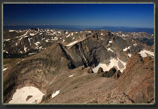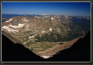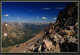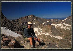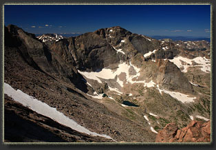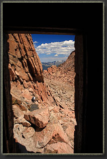
August 9, 2011 For years I’d watched Longs Peak from the plains, from all angles, from Denver or from Cheyenne. The double humps of Longs and Meeker are the most easily recognizable landmark of the Front Range. I’d hiked around the base of Longs, visited Chasm Lake below the Diamond, watched the western slopes from the summit of Mt Alice and enjoyed the fantastic form from Hallet Peak, Otis Peak and the tundra of Flattop Mt. Finally, after years, Christine and I set aside a day to climb it. After so much workup to it, I felt like the mountain had succeeded in intimidating me, so we prepped thoroughly for the hike. We were at the trailhead at 3:10, putting on socks and boots by headlamp light, checking packs, stretching legs. Cars were trundling in left and right, and there was quite a crowd. We did, however, find a parking spot just across from the restrooms, which appeared to be no small feat since there were cars parked along the road up to ½ mile down from the trailhead. In the cool dark of morning, as the clock hit 3:30, we began the upwards trip through the forest. Initially, the trail is a tunnel through the conifer forest of pines and spruces, and in the thin narrow beam of the headlamp, there was not much to see. We passed a couple of groups of hikers, and in turn were passed by a couple of faster groups of hikers. The time went quickly, and the cool air invigorated me to keep a nice steady pace. We reached the campsite at Goblin Forest at 4:00, where I’d stayed several years before. On that occasion, I’d also gotten up to hike this trail before daybreak, but that was on my way to Chasm Lake, not Longs. We hiked with a couple from Texas for awhile, and later we caught up with a group from Cleveland. It reminded me how lucky I am that a hike up Longs Peak is but a dayhike, and I’ll be back at work tomorrow. At 4:30 we were above treeline, passing the split that leads to Battle Mt camp. It still felt like the middle of the night, and we stopped to turn off our headlamps and marvel at the black sky and bright stars. The moon was down, and it was very dark. A faint line of headlamps stretched out ahead, showing us the way our path would take. We passed by the turnoff to Chasm Lake at 5:10, and from then on both Stein and I were on new trail. The tundra was open and rocky, but the trail was fantastically-maintained and easy to follow. As we approached Granite Pass, a faint glow simmered on the eastern horizon, outlining Twin Sisters, and lighting up the sky just enough to switch off headlamps and cruise along by the twilight of pre-dawn. Without headlamps, the world expanded beyond the narrow beam of white LED and we were able to take in the magnificent surroundings even more. Several switchbacks brought us up the slopes behind Mt Lady Washington, and we reached the Boulderfield at 6:30. The trail walked us right through the Boulderfield camp, a barren rocky desert without much plant life, and virtually no shelter. Rocks are piled up in rings to surround tent pads and provide some protection from the wind, but lawd have mercy should a thunderstorm roll in some summer evening with you in your tent up here. I’d be running downhill as fast as I could. The morning sun splashed the east face of Longs, drawing out the red in the rock, and as we passed through the Boulderfield, the sun came out in earnest with a clear, white light. We had watched the weather forecast carefully, and let it dictate when we tried this hike. We were not disappointed with our choice and I thank the National Weather Service for calling the weather perfectly on this day. Not a cloud in sight, and no wind at all. Conditions can’t get any better than what we had. We passed by a crowd of folks waiting for the open air latrines, and began the steep rockhopping up to the Keyhole. Stein made a comment that she was just imagining that she could see a little house up by the Keyhole, and I confirmed for her that it was actually there. The storm shelter at the Keyhole is as odd a thing as you can find on any 14er. It looks like some watchtower out of Middle Earth. We passed through the keyhole to the west side of the mountain, and the wind was fairly brisk on this side. The thing I love about this hike is that you get to spend time seeing all sides of the mountain, starting on the east, then the north, then the west and you finally summit from the south. The going through this section was pretty easy, and fairly level, as the route picked along solid rock towards the south. The route turned abruptly uphill at the Trough, and weaved through a rockfield up a steep gulley. This wasn’t difficult, but it was time-consuming. We were on the west side of the mountain, completely in shadow, but the temperature was ideal for this kind of steep hiking. The top of the Trough is blocked by a large chokestone, and this is the only moderately-difficult move of the hike. We shimmied up the right side of the rock, though it appears you could get up either side. From there, we walked along the narrow ledge on the south face of the mountain that looks down in Wild Basin. Nothing is hidden from this vantage, and we picked out Lion Lakes, Sandbeach Lake, Copeland Mt, Isolation Peak, Mt Alice, and all the other notable mountains. I believe we could also see Grays and Torreys, and I’m sure we could see Pikes Peak way down south. The sky was clear, and we were very lucky to have such a day to enjoy. The final pitch, what I understand is called the Homestretch, is pretty straightforward. The rock was dry and warm, and air on the south face was calm. I imagine that in wet conditions, this could be tricky, and in icy conditions…forget it. For us, though, it was a breeze, and we zipped up the slope and reached the flat summit at 8:45, completing the uphill leg in 5:15. After worrying that the summit would be difficult and scary, I was surprised by how easy it turned out to be. That's not to undervalue the difficulty of the hike, but in my mind the difference between expection and reality was huge for this hike. We had guessed we would reach the summit by 9:00, and were pleased to keep on schedule. It turned out though that we needn’t have worried a bit about thunderstorms, either at 10AM or at 6PM. The day was clear, calm and dry. At the summit, I measured the temperature as 52 with no wind. It was downright pleasant. Only a couple of very high lenticular clouds graced the horizon, otherwise the sky was deep blue. We hung out on the summit for half an hour, taking pictures examining the multiple USGS monuments and walking around to see the views. From the east, we looked down on Chasm Lake, and from the west we looked down on Black Lake, Mills Lake and Bear Lake. Everything looks just like the map from way up here. We took a more leisurely pace on the way down, stopping often to enjoy the birds-eye views, and then for a long early lunch in the Boulderfield. The way back seemed much longer than the way up, I think principally because in the dark, there’s so little to catch your attention that the trail passes by without registering. We reached the car by 3:45 (nothing like 12 hours on the trail) and drove on back to town. |
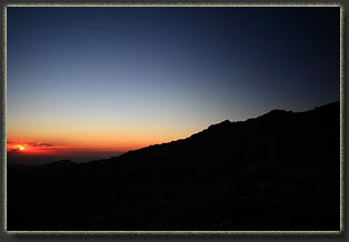
Sunrise at timberline
|
