

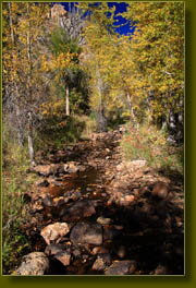
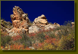
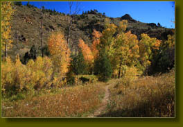
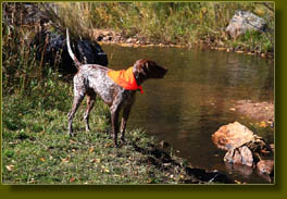
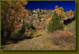
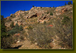
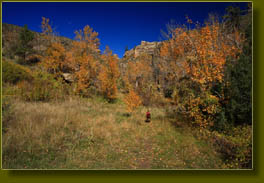
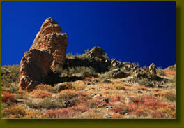
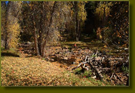
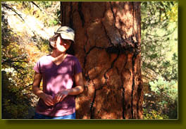
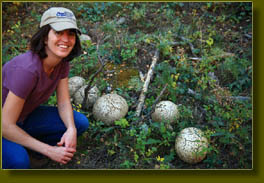
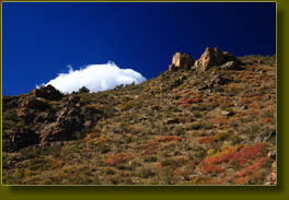
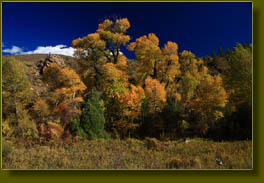
October 8, 2008 Itís a beautiful fall day in Colorado, with bluebird skies and temperatures in the mid 70ís, but rain begins tomorrow and snow the day after that, all of which makes working indoors on this day absolutely unacceptable. Thus, Andra and I stash Makenzie in the back seat and a backpack in the trunk and motor off south to the Poudre Canyon to see what fun we can have. I drive the car up the canyon, blissfully deserted on this Wednesday afternoon, and we try to settle on a hiking spot. Iím thinking Big South, in hopes of seeing late-season aspen color, but I donít want to get so high that we actually need to wear long sleeves. Why waste such warm weather? So, I decide we might make a go of Mt McConnel. We head west, enjoying brilliant yellows and reds from the cottonwoods and chokecherry trees along the highway. Everything seems to be in fall color, with the only green in sight that of the stately red-trunked Ponderosa pine trees. We pass the Narrows, and I notice that the trees are bending in the stiff wind, which is ripping off a rain of leaves from the trees. I recall how exposed the summit of Mt McConnel is, and start to reconsider. Just as Iím thinking about it, we come around the corner near Dutch George Flats and I see the little parking lot at the base of Trail Gulch. Andra and I hiked Trail Gulch with Makenzie and Frank in September 2006, so itís been awhile, but I seem to remember it being a fairly nice walk. I pull into the lot, and we agree to give it a go. Thereís a man sitting in his car with the windows down. He has long hair, looks about 60, and appears to be just chilling out, perhaps napping, perhaps enjoying nature from the comfort of his subcompact vehicle. We say hello as we put on sunscreen, then I slide my pack on and open the rear door for Makenzie to spill out onto the gravel lot and start scouring the area for interesting smells like the Tasmanian Devil. Perpetual Motion, she is, or as my Mom observed, ďAwkwardness in MotionĒ. Both are fitting. Those of you with Pointers understand already. This hike falls within a brief period where Makenzie finds herself the lone dog in the household. Frank left just over a month ago, and Henry will arrive in just 4 days. She's been getting all the attention she can handle, but that will change in a short time. We pass through an ungated barbed wire fence at 1:30 under a perfectly clear sky and head north in the gulch. Trail Gulch is not advertised by any signs or official markers. For years, in fact, I had no idea there was even a trail here as I zoomed on past to destinations farther up the canyon. But, there is a rather well-worn trail that winds through a canyon much like Hewlett Gulch: dry, shallow, with pockets of cedar and cottonwood to keep things interesting. Actually, I think Trail Gulch offers even a little more than Hewlett Gulch in terms of diversity and scenery. The trail immediately enters a shallow gulch with exposed crumbling rock on either side forming interesting patterns. Heavy rabbitbrush lines the trail, all in bloom with bright yellow blossoms, and sagebrush and mountain mahogany cover the gravelly hillsides. Makenzie trots on ahead of us and beats us to the first water crossing. There is a surprising flow of water in Elkhorn Creek for so late in the year, suggesting a nice spring somewhere up the canyon. Makenzie wallows in the cold water, flipping her hips from side to side to wet her body as much as possible in the 10Ē of water that has pooled near the crossing. Andra and I skip across on rocks, and continue on. The gulch winds about a lot, and after heading west for a bit, we curve around to head east, crossing Elkhorn Creek once again. Yellow cottonwoods are everywhere, and the color is fantastic. Up ahead, I hear something that sounds like a cow, but maybe is human. We approach and find an old man sitting in the trail with gads of gear strapped to his back. He is panning for gold, and has the shovel and bucket to prove it. He says heís walked 10 miles today, from where we donít ask. We pass him, and continue on. I suspect that the gentleman waiting in the car at the parking lot is waiting for this man. At mile 1, we pass through a barbed wire gate, and with each step, the trees get taller and fuller, the gulch more dense and enjoyable. The path is well worn, but is probably made and maintained entirely by cattle, whose droppings litter the trail. Many more stream crossings come and go, each with sufficient rock steps to avoid wet feet, though in that case it is hardly worth worry as the water is only inches deep. We reach a fork in the gulch, and follow the water to the left, staying in Trail Gulch and branching off from the larger Elkhorn Creek. We pass a strange wooden-pole structure covered with chicken wire with an old wooden chair inside. Weird. We follow the path to the northwest along the rushing water, crossing several times and a few times losing the path but regaining it. Along the way are some of the largest puffball mushrooms Iíve ever seen in life, as well as some of the largest Ponderosa pines Iíve come across. All very interesting. We continue at a moderate pace through several aspen groves in deep yellow color, and across a smooth-rock water crossing that seems to belong more in Virginia than Colorado. The path seems to go on and on, but nothing much changes, and we decide at around mile 2.5, to turn around and head back. The way back goes quicker, probably because we are more familiar with the trail and stream crossings. We stop at a deep pool and throw rocks in the water for Makenzie to fish out, always entertaining. We can hear traffic on the highway, but because of the numerous twists and bends of the gulch, it takes some 15 minutes to finally reach the car from that point. The slanting light of 4:00 is really bringing out the colors in the trees and shrubs, but we are done hiking for the day. Nice trail, though nothing extraordinary. |
 |
 Comments |