Pole Mt
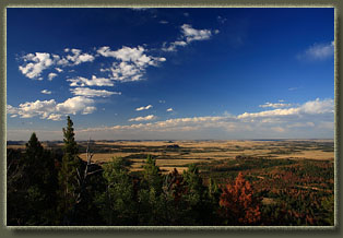
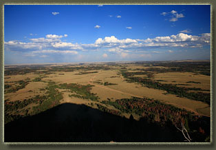
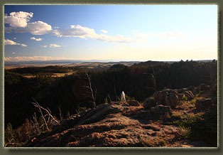
View Larger Map 8-11-11 Griff, though retired, seems to keep pretty busy at all times of day, either working on his own private 2-acre arboretum, or lazing around in Estes Park with his gal. Thus I was a bit surprised to call him around noon and learn he had no plans for the evening, so I suggested this hike. Pole Mt is so visible from Happy Jack Rd, and Iíve hiked around it so many times on the Headquarters, Summit Loop or Old Happy Jack trails, that I felt it was long-past due to find the summit. So, that was the evening plan. I picked Griff up from his house west of Cheyenne around 4:00, and we zipped west on Happy Jack to the forest, and pulled off onto the Blair Wallis Rd, parking as I so often do at the Headquarters TH. We utilized the HQ Trail up the steep switchback through the pines. I brought the doggies, Henry and Makenzie, along, and they swerved back and forth on the trail ahead, sniffing and wagging their tails so hard their whole bodies swayed. The woods were still bristling with yellow arnica and fireweed, all still vibrant and lush from the late snows. Over the last 10 years of hiking this trail, Iíve noticed a steady increase in bike traffic. Iíve no quarrel with bikers, most of them, as long as theyíre not running me down on the trail. Iíve often biked trails myself. But there seems to be a very recent trend of significant trail modification among the biker set, whereby boulders put in the trail to prevent erosion have been levered out and dumped off the side of the trail to leave a smoother trail for tires. This may be the case in the short term, but the resulting erosion of this activity on such a steep incline will, in the long-term, make the trail much worse for everyone. Gosh, I sound preachy, eh? We walked past the union with the Brownís Landing Trail, and up to the point where the HQ trail takes a sharp left turn, and followed this new trajectory for about 100 yards before leaving the trail and heading north through the trees. The going is pretty easy through this area, and we walked to the edge of the cliff that drops down to a hanging valley separating Pole Mt from the slightly higher ridge to the south (a ridge that holds the areaís high point). We picked our way along the cliff until we came to a break, and shuffled on down the heavily-forested north slope of the ridge to a grassy saddle where a small campfire ring housed some long-extinguished blaze. Nice spot for a camp, actually. Henry and Makenzie led the charge up the opposing flank of Pole Mt, and Griff and I followed behind. The late afternoon sunshine faded in and out through the shadows of the pine trunks, casting golden light all around. The route we picked to get to the top was not difficult, and before long at all we were up at the rocky summit. Though itís not much taller than surrounding high points, itís location on the far north edge of the range makes it one of the best locations to check out the country to the north. We spent half an hour checking out landmarks like North Crow Reservoir, Markley Hill, Sherman Mt, Twin Peaks, Turtle Rock and Eagle Rock. Griff pointed out where he shot his big elk a few years before, and where Matt shot his moose. We hung out at the top so long, the dogs got bored and laid down to chill out. Finally, we turned out back on the summit and headed back. Getting back up through the
trees was a little tricky, direction-wise. We followed Makenzieís nose,
but she erred a bit, and sent us off course to the west a bit too far.
Who knows what she was actually following? But, we did find another way
up to the top of the steep cliff, and from their, headed back southeast
to the HQ Trail, and then to the car. The dogs wearily crawled into the
backseat, and enjoyed a nap on the way home as the sun set behind us.
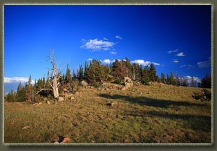
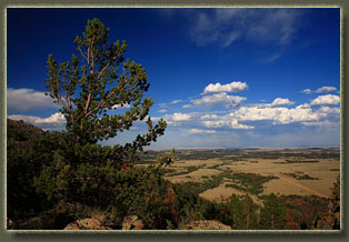
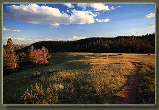
The Headquarters Trail at Browns Landing |
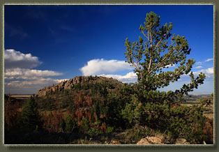
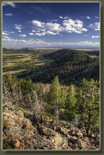
Pole Mountain from the ridge to the south 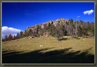
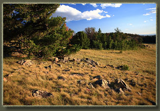
The meadow at the south base of Pole Mountain 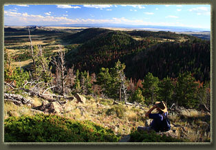
Griff checks out the Sherman Mts 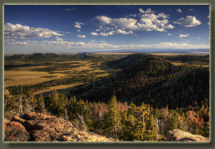
Looking south from Pole Mountain 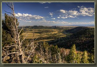
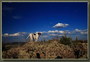
Henry on Pole Mountain 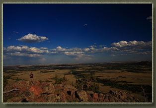
Griff on the east side of the summit 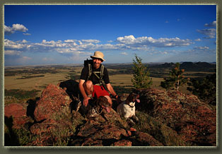
Makenzie, Henry and their human on Pole Mountain 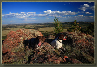
My awesome hiking companions 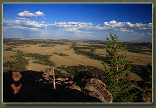
Looking down on Happy Jack Rd and the Blair Wallis Rd 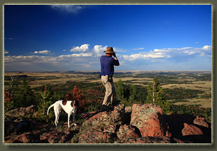
Henry and Griff at the summit 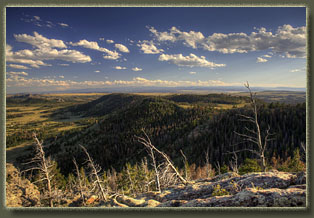 |
