
Location: Medicine
Bow Nat'l Forest, Vedauwoo Area near Pole Mt
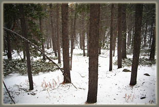
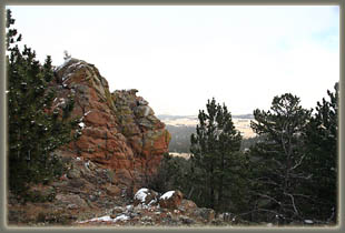
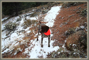
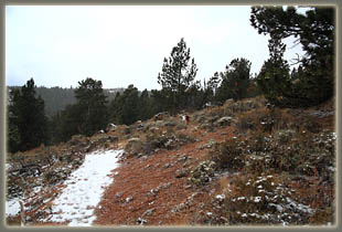
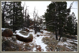
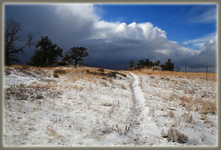
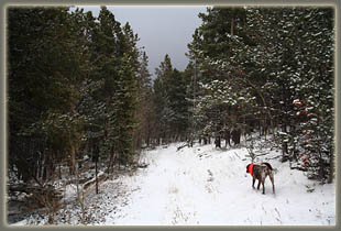
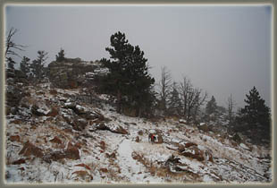
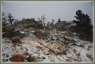
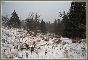
View Larger Map Dogs: No restrictions Webcam: Vedauwoo Exit cam (5 miles south) Weather: Current conditions Local Forecast October 25, 2009 It looked nasty out, with dark clouds ahead, and snow snow streaking horizontally across the road in front of the windshield. Did I turn back? Not I. Not when itís Sunday and I have to face a full week of uninterrupted office work in the morning. Not when the days of hiking above 8000í without snowshoes can be counted on two hands, probably, maybe two feet, too, but the time is coming, nonetheless! Therefore I kept motoring west from home into the Sherman Mountains, and parked at an inconspicuous and unsigned pullout near a crest in the road on Happy Jack a couple miles northwest of the Blair-Wallis Rd. The ground was covered in snow, but only to a depth of an inch or so, leaving most of the vegetation visible. The trees on both sides of the road blocked much of the wind, so even though it hovered around 25 degrees, it wasnít too bad. I changed into my boots, slid on my pack and my new day-glo orange cap (always a good idea during hunting season) and then released the hounds, Makenzie and Henry. I held two strands of barbed wire apart so the dogs could slip through, and then held down the stop strand while I gingerly stepped over it. I was just barely tall enough. We then started heading west on the Old Happy Jack Rd. The old road is very overgrown with grass and small shrubs, but the general grade is pretty clear from the lack of trees. Lodgepole pine and Douglas fir line both sides of it as it gradually heads uphill. About 1200 feet from the fence, thereís a 4-way junction between an old service road, Old Happy Jack Rd (which bends to the northwest) and a trail that heads south up the hill. I took the south-heading trail, and with a little whistling to correct the vector of my wayward dogs, they headed the same way. The snow alternately fell hard and light, then sometimes not at all, although the snow blowing off the trees during such interludes kept up the appearance of constant snowfall. Sometimes the snow was light and fluffy, while most of the time it was pelleted, like the tiny beads that comprise Styrofoam, and what is called, in the biz, graupel. Despite the snow and the wind, the steep uphill incline got me sweating in about 15 minutes, and I stopped to remove my outer jacket. The dogs bounded up and down the trail with enthusiasm, and though they have very short fur (both are pointers) and virtually no fat, they seemed completely unconcerned about the temperature and conditions. The trail headed uphill via multiple switchbacks, and displayed some obvious trail maintenance, despite the fact that no guidebook or map that Iíve seen makes any mention of it. After about ¾ mile and 200í elevation gain, we reached a clearing and a rock outcrop that provided an almost-unobstructed view down on Happy Jack Road heading east, and a full view of Pole Mountain very nearby to the south. We continued on, heading uphill. The snow got me thinking about Christmas time, though it was only October. We continued to climb up through the pines, where many of the trunks were splattered with pitch tubes from bark beetles. This forest wonít be very pleasant to hike in 4 or 5 years from now, Iím afraid, since most of the trees will be dead. Depressing thought, and I quickly threw it away to enjoy the hike more. We reached an open summit of sorts after about 1.5 miles of hiking, and the sun actually came out with blue sky. I snapped a few photographs, and within 3 minutes, the sunlight had faded. That was our one shot of sunlight on the hike. The trail slanted downhill, and I followed it another 0.4 miles until I recognized the oft-traveled Summit Loop Trail. Iíd seen this little turnoff many times, but I hadnít ever bothered to follow it. I turned around at this point and retraced my steps back uphill to the open ridgeline. Having completed the uphill section of the hike, I put my outer jacket back on to keep from getting too cool. Deep blue clouds rolled in from the northwest, bringing a deluge of graupel that made a tremendous racket as it peppered the nylon of my outer jacket. Despite all that, I was still thoroughly enjoying the outing, as were Makenzie and Henry. Once acclimated, the temperature seemed very comfortable. The precipitation increased, and visibility sank to about ½ mile. Much of the time Pole Mt was completely hidden from view, and my own footprints from only 30 minutes before were completely covered over. Luckily the route was easy to follow, and before long, we were all back at the junction with Old Happy Jack Rd. From there it was a short distance to the highway and the car, and a slow drive home over a very slushy road. 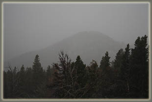
 |
 |
