| Location:
Little Missouri National Grasslands, western North Dakota
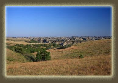
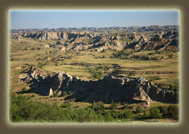
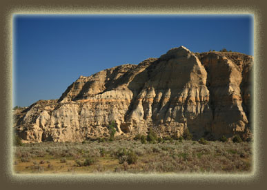
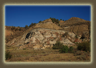
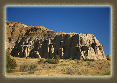
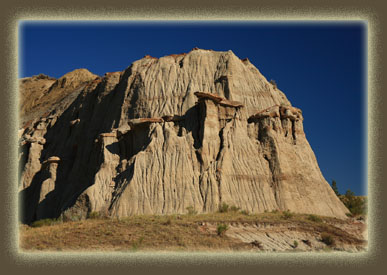
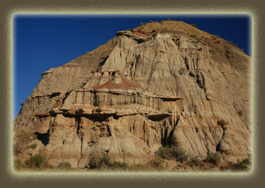
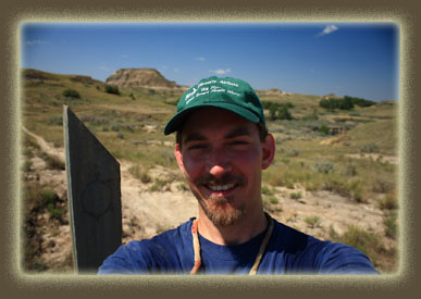
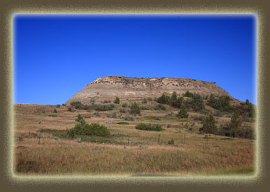
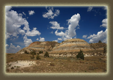
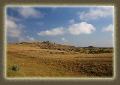
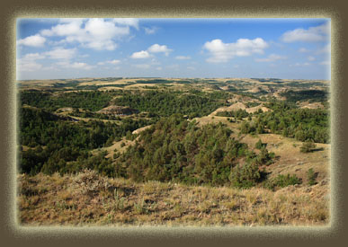
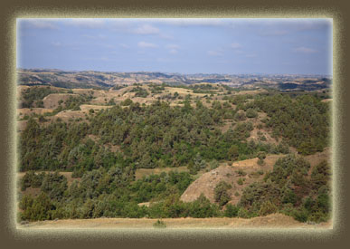
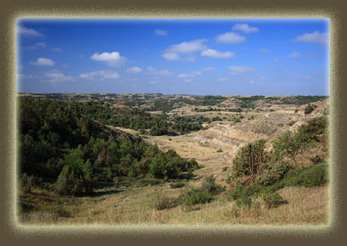
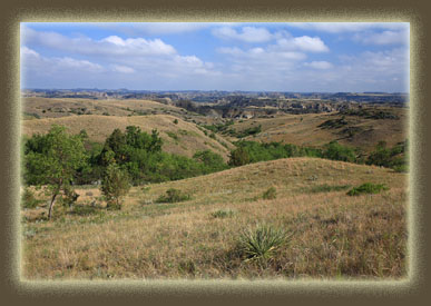
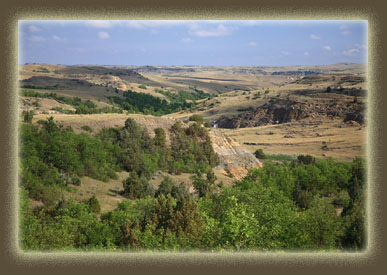
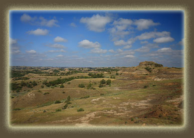
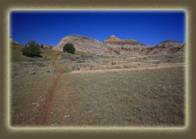
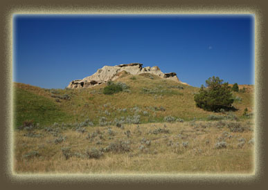
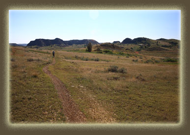
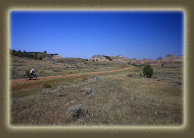
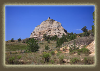
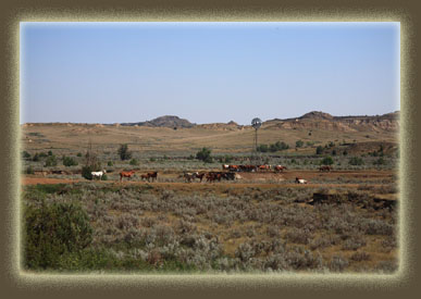
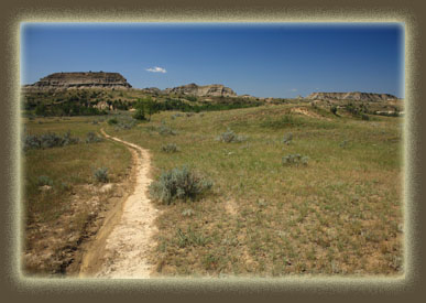
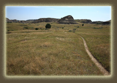
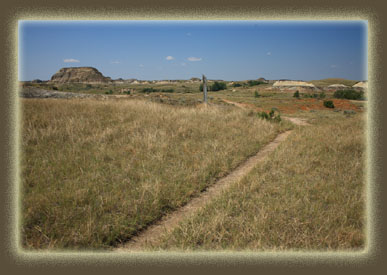
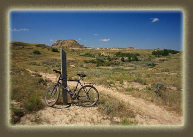
Access: Multiple access points, see map Map: Little Missouri National Grasslands Visitor Map 1:126,720 scale. Available at the Medora Ranger Station, 161 21st West, Dickinson, ND 58601 (701) 225-5151. This map shows all side roads and access points and is very handy. Trail info: National Park Service Fees: None for the portion of trail on the national grassland. For entry into Theodore Roosevelt National Park, $10/vehicle for 7-day pass or $5/bicycle for 7-day pass. Weather: Forecast Recent Conditions in nearby Dickinson, ND July 2008 The Maah Daah Hey trail is a 96-mile multi-use trail that runs between the south and north units of Theodore Roosevelt National Park north of Medora, North Dakota. There are multiple access points along gravel roads. Joe and I were on a field work trip to Medora, North Dakota in July 2008. One particular morning was extremely windy, and we knew there would be no getting the airplane up, but since we had driven out as far as the air strip, we decided to head west a little from Hwy 85 and explore some of the Maah Daah Hey Trail on our bicycles. We drove out The Whitetail Road (FR 712) through the Magpie Oil Field and parked at a trail access point near Cedar Top Butte and the Magpie campground. It was a clear, warm morning, though very windy. It had rained heavily the afternoon before, and the soil of the parking area was damp. I loaded a few items in my pack and off we went. Cattle graze the grasslands, and as such there is a need for lots of fences to cordon off pastures. I was impressed by the spring-loaded rising gates at every fence which allow single-user opening and closing without even having to dismount. Very handy. We pedaled west down the trail towards the river, through a wonderful badland terrain of buttes and valleys. The valleys were filled with green ash and juniper, while the buttes were sparsely covered with green grass, rabbitbrush, sagebrush and an assortment of blooming forbs. Joe’s bike chain derailed, and he stopped to get things back in order. I took the time to snap photographs, and drink some water. Once back on track, we headed generally downhill through pockets of very soft trail, some of which kicked up big clods of mud. Evidently the rain from yesterday had not completely soaked in. After about 2 miles of ridging, we had to dismount to walk the bikes through a section of brown pooled water near FR 711, and the going was pretty mucky beyond the road as the trail was largely shaded by juniper and ash. Several times, especially on uphill stretches, I could get no purchase at all in the soft slime, and had to walk my bike up the incline. Downhill was no real picnic either, as steering was almost impossible in the brown goo. After ½ mile of hoping it would get better, we determined it was only getting worse the closer we got to the river, so we turned around and headed back to FR 711. As the road was graveled with scoria, it was pretty firm and dry, so we decided to head west on the road and see where it led. We followed it to a T that was umarked on our map. Oil and gas extraction activity in 2008 was at a fevered pitch in western ND, and new roads were going in all the time to provide access to new lease areas, so it wasn’t surprising that after following the south fork of the T, we ended up at a natural gas well. The smell of sulfur was thick on the air, and it was a bit of a shame to see such a nice valley scared by the wide road, drill pad and all the metal junk lying around. Such is the price we pay for me to power up my computer to write this, and you to read it. We turned around and headed back down the road past the T again and then north down a long hill through the Devils Pass Oil Field. Before reaching the bottom, we encountered a herd of about 40 horses trotting down the road. I don’t know if they were wild or domesticated. We stopped to watch them as they spilled out onto the Magpie Rd and began drinking from a well set up for cattle. Joe took some photographs and then we rode past them, heading back east on FR 712 towards the truck. The ride back was smooth sailing, despite the wind, and we arrived in high spirits back at the truck. I was anxious to explore more of the trail heading north, but Joe was ready to be done with bike riding. So, we agreed that I would take an hour to head north and come back, and Joe could spend the hour driving on down the road and seeing the terrain by the river. I rode north, then, immediately crossing a bridge over a small creek and passing by the Magpie campground which was deserted except for a small silver trailer. I was happy to see that the trail was much drier in this direction and I could zip along with ease. The terrain was more open and less forested than in the other direction, and the views were more enjoyable. I had to dismount and swaggle my way through deep mud along Magpie Creek to get across (there is no bridge), and was forced to cross the water again at another unnamed stream crossing. Those stream crossings were super muddy, but it all added to the fun. During the entire ride I never saw another cyclist. I kept an eye on the time and was near Ice Caves after 30 minutes. I have no idea what the Ice Caves are or what they look like. I would have taken time to check them out if on my own, but as it was I had to head back. The ride back was equally entertaining as I got to see all the beautiful badlands terrain from the other direction. I arrived back at the lot right at noon and Joe showed up just a minute or two later. We talked about trying to find time to come back and ride some more, but the job schedule never allowed a return visit. 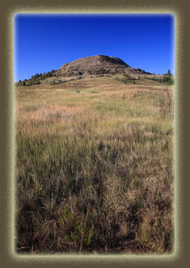 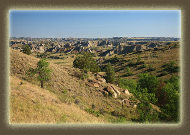
 |
 |
