| Hewlett Gulch
Peaks
(Peaks 7231 & 6485)

A four week hiking drought spanning the labor and delivery of our daughter, Ada, future hiking guru, was broken on a beautiful Saturday morning up the Poudre Canyon when I decided to hike up to two ranked peaks that lay just west of Hewlett Gulch in the lower Poudre Canyon. Having hiked Hewlett Gulch countless times, it being such a great snow-free winter hiking area, I was very familiar with the peaks in question. Amazing how you can look at something so long, pass by it so many times, and never really take the time to go see it up close. I started out late in the morning on purpose, to allow it to warm up a bit, and by 10AM it was around freezing and I was leaving the empty parking lot with Makenzie and Henry, heading west, uphill along an open ridgeline towards the summit of Peak 6485 covered with scattered mountain mahogany, feathery twirling seeds littering the ground. The sun was shining nicely, but the wind kept it feeling quite cool, despite the exertion of heading up the steep slope. For awhile, I hiked on the northern edge of the ridge, enjoying the views up Hewlett Gulch and of the inviting peaks to the east of the gulch, near Greyrock Mt. Halfway up, I switched to the southern side of the ridge, where I could examine the Poudre River almost straight below us, still shaded from the winter sun and still shrouded in ice. There were patches of snow in some places, but mostly it was dry, easy going all the way to the top. We reached the summit and a grouping of flattish rocks set on edge around 10:30. The summit itself offers views to the south, into the canyon, but to see up-canyon, we had to walk west still further, downhill a bit, to get clear of a few ponderosa pines. After snapping some pictures of the view and the dogs, I retreated a bit to the east, back the way wed come, then plunged into the woods on the north face, heading downhill towards the saddle with the next peak. There wasnt much snow on the north face, just a sugary dusting, but the ground was frozen solid, so I slipped a lot due to the steepness. It was fairly slow going, and I used the numerous trees as handrails all the way down, and was glad to have stout gloves on. At the saddle, I noted a road that heads up this way from the gulch, probably an old access road for the power lines that string through this gap. This road could provide an even easier, though less scenic, route to both of these peaks via the saddle between them. We continued north, into the sunshine and up the large flat south slope of Peak 7231. It was very straightforward, uphill slogging through grass and cactus, and I noticed both dogs picked up considerable amounts of cactus spines in their paws. I stopped once to pull spines out of Henrys paws. Though I saw Makenzie walk through numerous cactus plants, she showed no notice of the spines, maybe because her pads are older and tougher. The sun warmed things up so much I stripped down to my flannel shirt. Like many mountains, there was a false summit that we hit, thinking it was the top, only to note once we got there we still had a couple hundred feet to go. A mule deer watched us from the summit, and we got surprisingly close before it turned tail and fled down the north side of the mountain. The true summit was shrouded in pines, and after reaching it at 11:30 and snapping a few pictures to the west, we traversed the summit ridge to the east, where it opened up completely and offered a fantastic perspective of Greyrock and the surrounding peaks. The day had warmed up nicely, so I was able to take off my hat and gloves. After dallying
at the summit for awhile, snacking and enjoying it, we headed down towards
the gulch taking a different route on a more easterly ridge, that led right
down to the trail, which we followed back to the parking lot, arriving
at 1:00, a tidy 3-hour hike.
|
;)
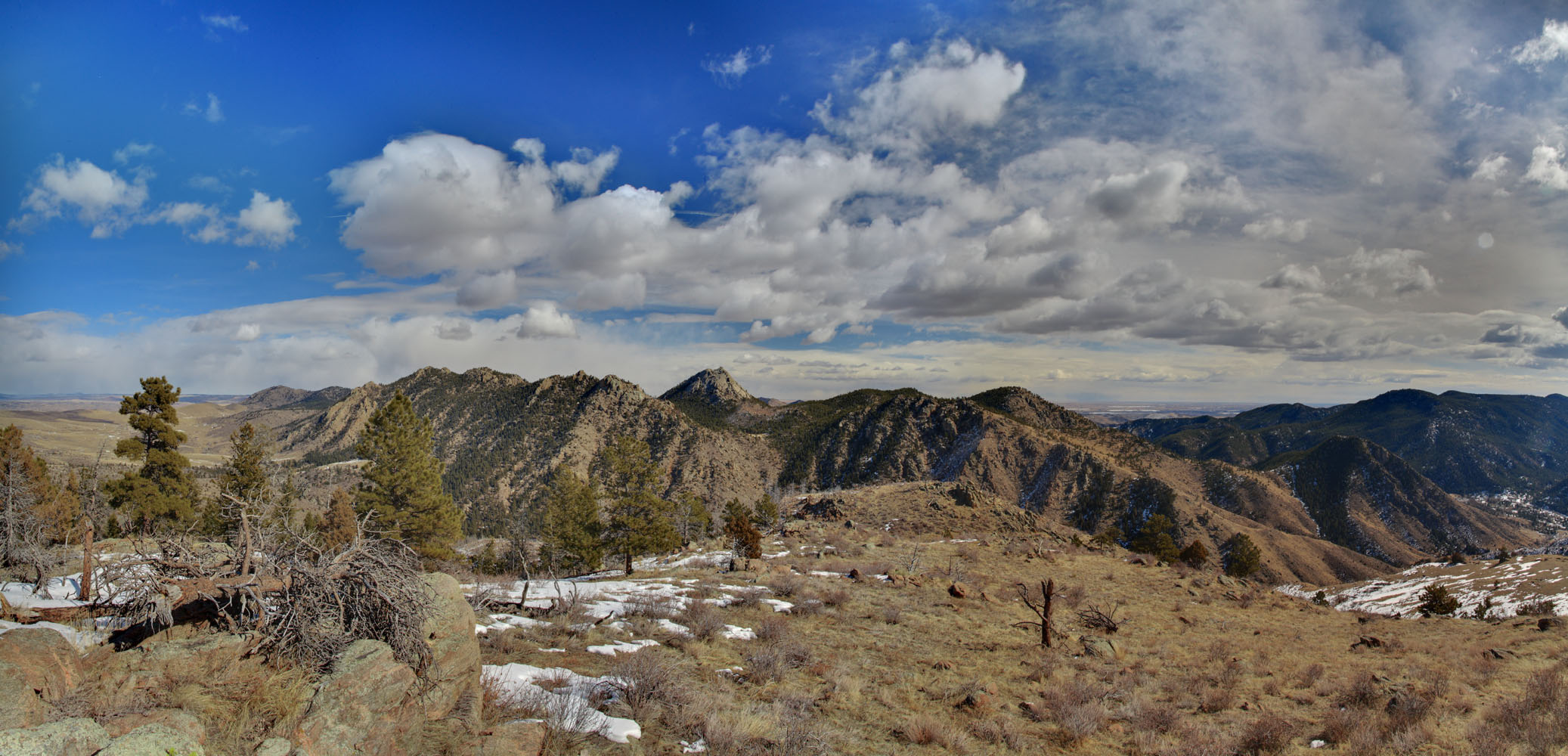
Peak 6740 from across Hewlett Gulch
|
;)
;)
;)
;)
;)
;)
;)
;)
;)
;)
;)
;)
;)
;)
;)
;)
;)
;)
;)