| Mt Flora
Location: Arapaho National
Forest, near Berthoud Pass, Colorado
July 25, 2015
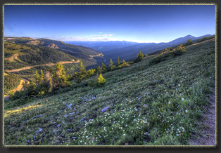
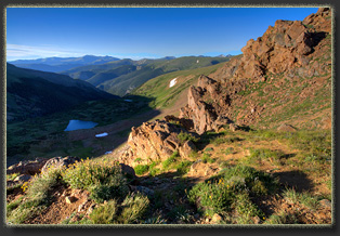
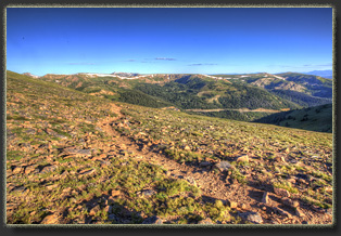
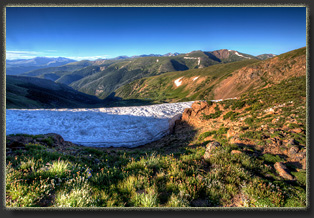
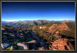
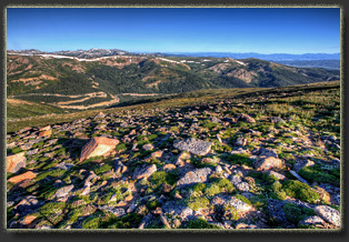
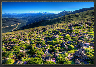
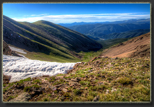
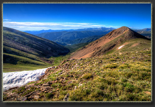
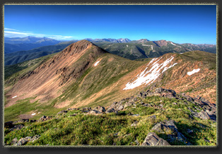
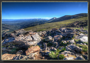
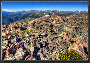
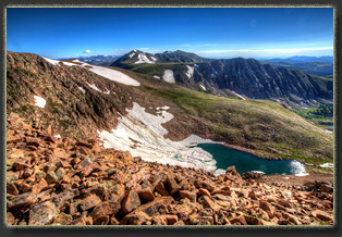
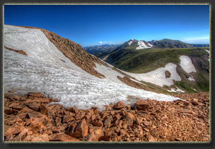
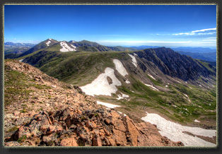
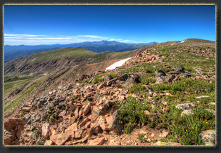
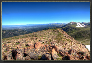
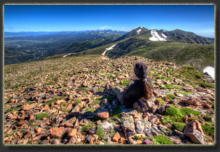
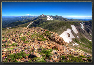
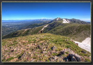
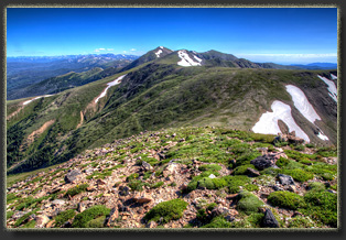
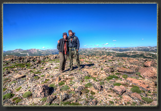
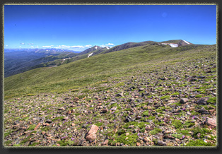
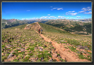
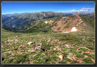
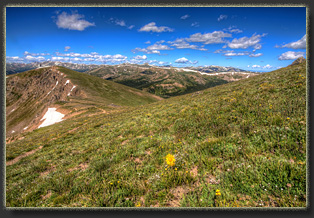
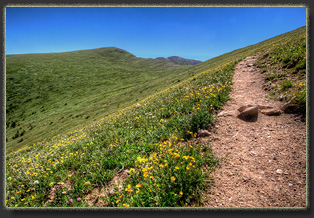
We hike into sunlight and enjoy flower-covered slopes on our way up the hillside. The view is unobstructed to the north along the western flank of the Indian Peaks, and further north into Rocky Mountain National Park. The wind is brisk, and we have our hats and jackets on to ward off the chill, despite the summer sun in our faces. We reach the saddle north of Colorado Mines Peak, and the wind rips up the Blue Creek drainage below with such force I have to remove my hat or lose it. Down below, a lone tent sits quietly in the shade by the unnamed lake at the head of Blue Creek. It looks idyllic. We turn north and follow the ridgeline as it grinds out elevation towards a chunky outcropping of rocks. We stop at the outcropping to take photographs, and note the small brightly-colored dots of hikers a mile behind us on the slope, heading our way. We photograph the incomparable scenery, and text the pictures to Mike, Mandy and Stephanie who we imagine are just now rousing out of their cozy warm beds in the town below. The blue sky is unimpeded by clouds, and the draping of snow on the mountains causes the green slopes to pop with uncharacteristic brilliance. The trail leads us higher, far above treeline, to the summit of Mt Flora. The summit itself is unassuming, and so gradual we actually hiked right past it and down the east side a hundred meters before realizing we’d passed it up. The wind abated in this area, and we sit on the sunny side of Mt Flora, have a snack, and admire the pristine basin below us, containing Ethel, Byron and Bill Moore Lakes. At the 13,132-foot summit, we discuss our hiking options. It is already approaching mid morning, and we had intended to meet the rest of the crew for lunch. On the other hand, Mt Eva, another 13er, sits temptingly just under 2 miles to the north. I want to get there, but after we hike downhill to the north for a quarter mile, it is apparent that there is more elevation loss/gain (700 feet) to get to Mt Eva than we could comfortably do in a short amount of time, so we turn back and follow the trail back towards our beginning. The hike down is fairly crowded. Our early start put us first on the mountain, but dozens and dozens of hikers are trailing up the mountain. With good reason: the day remains clear and beautiful. The wind hits us again with blunt force at the saddle above Blue Creek, but once we pass this section, the air is calm again. Lots of dogs on the trail. I laugh when I see two hikers dogs start fighting on the trail. Some dogs take their hiking too seriously. We reach the parking lot
and it is a party. Motorcycle gangs have their choppers lined up in chrome-spangled
rows and a hundred people mill around the info kiosk and restrooms. It’s
an amazing transformation from the nearly-empty lot from which we started
hours ago. We hop in the car and cruise into town to have lunch.
Mt Eva will have to wait for another summer day.
|
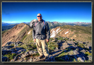
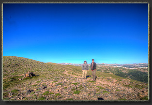
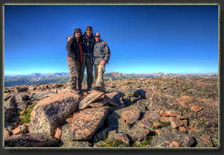
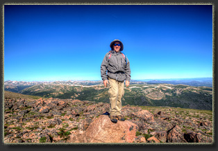
Nolan, happily standing on the summit of Mt Flora
 |

