

| Location: Sawatch Range,
San Isabel National Forest, west of Buena Vista, Colorado
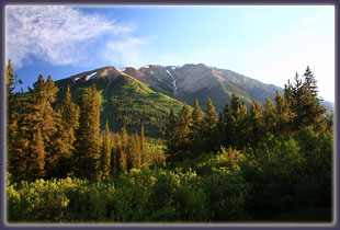
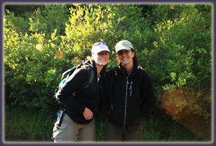
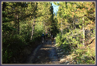
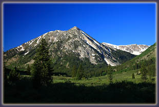
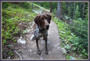
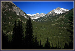
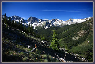
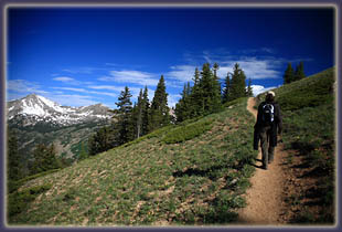
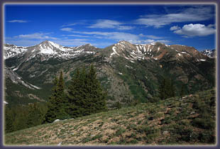
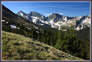
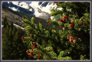
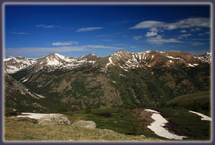
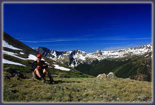
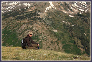
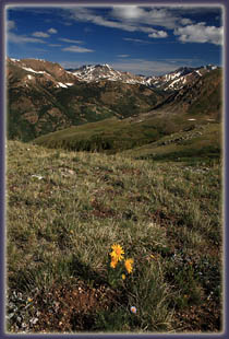
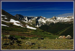
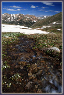
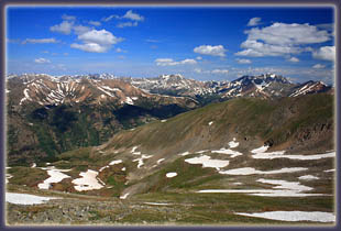
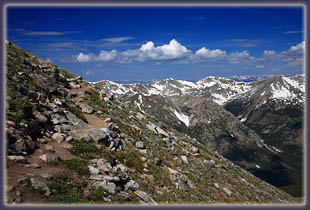
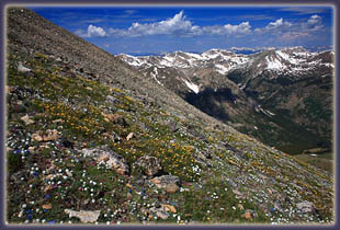
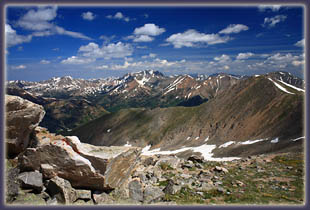
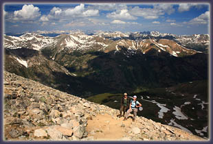
Map: USGS quad: Winfield (1:24,000); Trails Illustrated #129 Buena Vista/Collegiate Peaks (1:40,000) Access: From the stop light in Buena Vista, drive 15 miles north on Hwy 24, then turn left (west) onto Chaffee Cty Rd 390 (Clear Creek Rd). Follow this graded but rough road 11.8 miles to the old town of Winfield, and turn left. The road degenerates to a non-graded route, and low-clearance vehicles should park along the side of the road wherever. The lower trailhead is a few hundred yards down this road, but many parking options exist before that. After the lower trailhead, the road gets even rougher. For the next 2 miles, there are abundant informal campsites and parking areas along the road, but also lots of water crossings, potholes and boulders in the road, making for slow-going even for high-clearance vehicles. There is a final parking area just before the road closure gate. Trail: 9.5 miles round-trip to Mt Huron summit from the lower trailhead; 5.5 miles from the upper trailhead at the road closure gate. Itís a steady uphill slog with dozens of switchbacks along a well-marked and solid trail through spruce-fir forest to timberline, then through a wet basin to tundra and boulders at the summit. We took 7 hours to complete the round trip from the lower TH. Fees: None Dogs: Since this trail is not within wilderness boundaries, wilderness leash law does not apply and voice control is in effect. Please leash agressive dogs. Weather: Snow detail from NOAA National Weather Service Forecast July 5, 2008 Anytime Mike flies in from Vermont for hiking, the subject of 14ers invariably comes up, and this weekend was no different. Mike arrived in Denver, and rode with Christine down to Woodland Park on July 4. After a bratwurst roast over an open fire in the woods for dinner, we returned to the apartment and Mike laid out a couple of trip options he had mulled over, both involving 14,000-foot peaks in the Sawatch Range. He detailed the routes of Mt Belford and Mt Huron, and we ultimately chose to try Mt Huron, mostly because the name Mt Belford didnít sound as cool. We loaded our packs and set alarms and went to bed. At 4AM we all got up, slurped coffee, and went about the business of loading stuff in the car. Frank, our English Pointer, had to sit this one out. Old age finally caught up to him and a dog with cancer, however enthusiastic, probably wouldnít be well-served by hiking a 14er. Christineís dog also had to sit this one out, so the two geriatrics stayed at home to discuss the life of retired hiking dogs. Makenzie, a German shorthaired pointer, still has the legs to do it all, and so we laid out a blanket for her in the cargo area of the Forester and she hopped in, eager for the ride. The drive to Buena Vista went quickly. Andra and Christine both had colds, and slept most of the way. By 6:15 we were gassing up and getting snacks at a gas station in town. The sky was almost perfectly clear and we were all excited to have such great weather. We drove north, found CR 390, and drove west. The first part of this road was oiled and, though rutted, pretty easy going. After a mile or so, the oil treatment ended and the washboard began, and lasted for the next 10 miles to Winfield. The early morning sun in the Clear Creek Valley was beautiful, however, and it made for a pleasant drive. At Winfield we turned south and decided that the road looked rough enough to park at the first possible spot. It was unclear from what we had read how rough the road would get, or if there would be pullouts along the way if it got too bad to continue. So, we looked at the extra road walking as a warm-up stretch. We got our boots on, shouldered packs and hit it at 7:10, which was at least 30 minutes later than when we had wanted to begin, but such is life. The road had some smooth stretches, and there were certainly plenty of high-clearance vehicles who had made it to various point along the road to camp or park, but at best it would be pretty slow going for all but the very highest clearance trucks, and I was pretty happy with our decision to park it and walk. The scenery along the road was great as it paralleled Clear Creek towards 12,800-ft Granite Mountain, a wonderfully-symmetrical pyramid of rock that provided wonderful reflections in the glassy water of the creek, at least until Makenzie jumped in and sent ripples across the surface. Just before 8AM we reached the upper trailhead, and began hiking the narrow trail leading to the summit. In the shade of the mountain, we labored slowly up countless switchbacks through spruce and fir trees, the latter of which were sporting raspberry-pink immature cones. The trail was dry, and very-well constructed. Mike and I agreed that the grade of the trail was pretty much optimal. At various points there was evidence of an old trail heading off into another direction, indicating that this trail was constructed at least partially over an older route. The switchbacks ascended the western side of Mt Huron, offering increasingly-splendid views of Granite Mountain and the surrounding, unnamed peaks. Not far in, we could see the very tip of Mt Huron as a hazy gray lump above the trees. Higher up and into the thinning forest, the Three Apostles, a series of forbidding-looking slate-gray peaks which define a portion of the Continental Divide, came into view on the southern horizon. Snow filled the cracks and basins of the peaks all around, setting off the dark gray of the rock and bright green of the alpine vegetation. Lake Anne, still partially covered with ice, came into view as well as we reached and passed treeline. Once fully into the tundra, we stopped for a snack and to enjoy the spectacular view. I photographed the peaks around us, enjoying the clear blue sky and relative lack of wind. The temperature was perfect, at about 43 degrees when we started and increasing to something in the upper 50ís as we approached the summit. We could see lots of hikers coming and going along the route up to the summit like little ants on an ant mound, and it was impossible to believe that we could make it up to that summit. Still, we hiked on. We walked across a flat, marshy basin and a snowfield before ascending rock steps to the base of the final push to the summit. From there we headed up more switchbacks through increasingly-abundant alpine cushion flowers of brilliant blue, pink and white. The air smelled like honeysuckle. Marmots and pikas chirped from the rocks, sending Makenzie into frenzied, fruitless dashes across the tundra. I still havenít figured out where she gets all that energy from. Very close to the top, the trail becomes very steep and gravelly, and several times my feet slipped back on the trail surface. We neared the summit at peak departure time, apparently, and there was a bit of a traffic jam as people made way for eachother going up or down. Finally, at 11:00, we reached the top, a relatively small area of rocks providing incredible views in all directions. I snapped dozens of photographs of the peaks around us, then all of us together, before sitting down and eating a sandwich and peanuts. The wind was calm and the sun was shining warmly, though clouds were building fast. We tarried at the 14,003-ft summit for about 20 minutes before heading down. Clouds built rapidly as we descended and I am still in awe at how fast it went from clear blue sky to overcast and raining. Just as we reached the marshy basin at around 12,000 feet, the rain came, and we quickly threw on rainjackets. The rain didnít last too long, but I was awfully glad we left the summit when we did and got past the steep, rocky parts of the trail before they got slick. Lots of people did get caught up high in the shower and I canít imagine it was pleasant. Still, there was as yet no thunder, so we didnít worry. A little rain doesnít hurt. We reached the trees and shed our
rainjackets, then settled into the monotonous switchbacks leading down.
Tired from the hike, conversation flagged, and even Makenzie seemed to
slow down a little on her off-trail ramblings through the forest. We reached
the upper trailhead, then followed the road back to car. The sky stayed
clouded over, but despite distant thunder, no more rain came. We reached
the car exactly 7 hours after starting, hopped in the car and drove back
home while enjoying Christineís wonderful chocolate chip cookies.
|
  |


 Page created 7-15-08
|