| Eldorado Canyon
Trail
Location: Eldorado
Canyon State Park, southwest of Boulder, CO
August 28, 2010
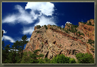
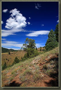
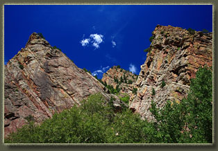
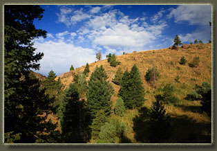
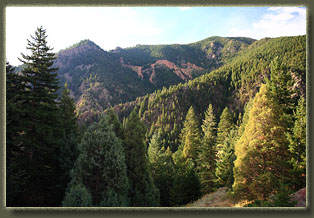
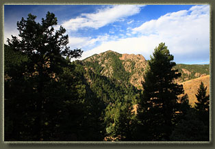
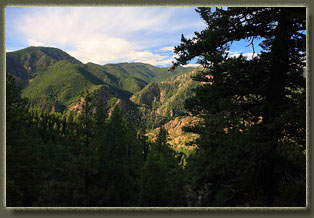
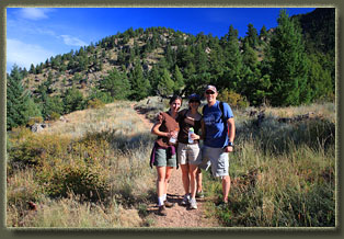
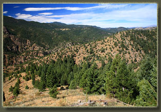
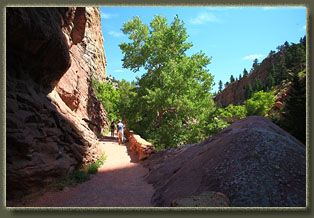
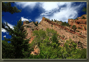
After parking the car, we crossed a large wooden bridge over South Boulder Creek and began hiking along a wide path that paralleled the rushing waters of the creek below. The canyon created by this creek is magnificent, with high flat walls that are nearly vertical in places. Cottonwoods and box elders lined the trail by the creek, shading it in a nice dark coolness that was refreshing even at that early hour of the day. We passed by a little cave that we walked back into about 30 feet before it petered out. A man was busy readying his climbing gear at the entrance to the cave. Climbing seems to be a very popular pasttime here. The shade and the cottonwoods quickly disappeared when we began ascending through the north wall of the canyon, through a drier, more open hillside dominated by perennial grass, potentilla, juniper and pine. Steep going at first, we breathed heavily while trying to maintain conversations, well, perhaps Andra and I more than Devin and Amber, who were at that time training for competitive relay racing. Distracted by the conversation, we took a wrong turn on the path onto a little trail that looked official, but apparently was an unofficial trail that, after awhile, was clearly not taking us the direction we intended. We backtracked, and got back on track. In the draws that we crossed over, thick Douglas fir shaded the ground, and in places the pines were also very thick. Usually the trail was covering pretty open ground, with unimpeded views of the rough terrain in all directions. Eldorado Mt sits to the south of the Canyon, and the narrow-guage railway that plies it's slopes is visible, though I think the days of the railroad's operations are over. Just gazing out across the miles of craggy bumps and knolls, crumbling ridges and deep canyons lets you know that travel in the area is not quick, but it will be fun. We reached the junction of the Walker Trail, and decided that was far enough for the time we had allotted. Itís always tempting to go on, but we turned back so as to make it a half-day hike rather than a full-day hike. The walk back went pretty quickly, and upon returning to the parking area, we all went wading in South Boulder Creek at a swimming hole that had about twenty kids splashing around in. |
 |
