Flatiron #1,
Boulder, CO
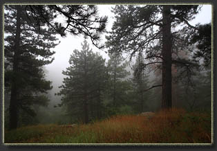
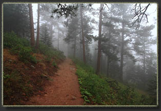
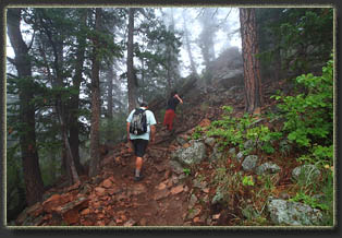
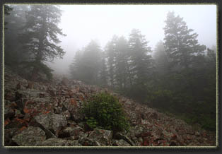
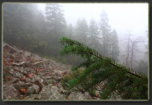
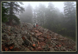
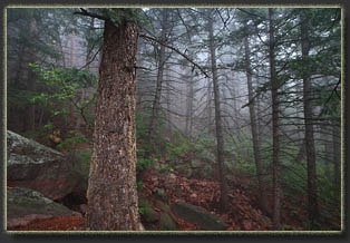
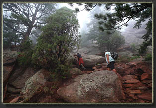
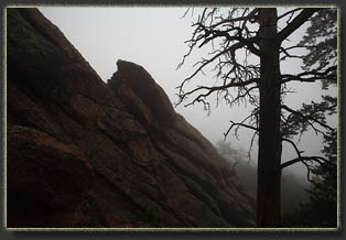
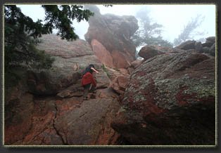
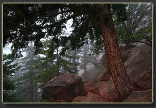
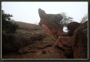
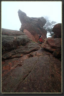
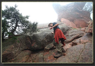
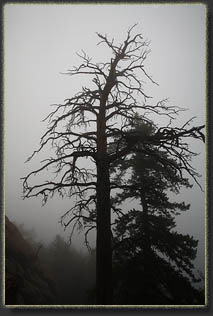
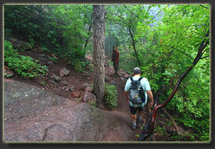
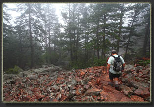
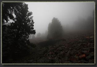
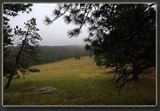
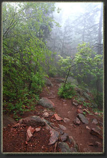
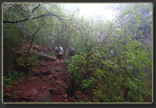
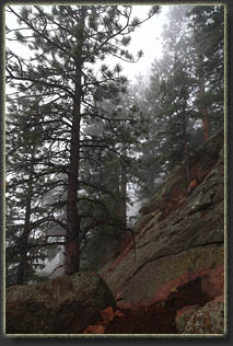
August 28, 2013 We had planned on a longer hike up at higher elevation, but the morning found Mandy feeling ill and rain coming down across the region. Andra, Mike and I decided to take a shorter hike nearby, so we headed to Chatauqua and began hiking, with no clear idea where we were heading. The rain was very light, and it was pretty warm out. Since rain jackets prevent evaporation of sweat, itís often counterproductive to wear one unless itís really raining hard. This was the type of day where it was raining almost enough to justify a rainjacket, but in the end I decided Iíd probably get more wet sweating inside my plastic jacket than absorbing the light rain, so I kept it in my pack the entire time. We headed west on Bluebell Rd, uphill, stretching out our legs. Lots of folks were out hiking, though the fog prevented seeing them until they were only a few dozen yards away. We stopped to check out a sign, and saw a route leading to Flatiron #1. It looked as good as any, so we noted the trail turns and headed north on the Bluebell-Baird trail through a stately ponderosa forest with yellowed August grass beneath. The moisture in the air stifled sound, so the area felt close and quiet. We took a couple of turns on the trail and began heading up the Flatirons Trail at a pretty steep grade that utilized frequent switchbacks. We passed over a boulder field of angular granite chunks, and higher up into a forest of Douglas fir. There are five numbered Flatirons, starting with the north end, which is where we were heading. All are visible from far to the east, and if youíve ever driven on I-25 between Denver and Loveland, youíve seen them. They are made of sandstone, part of a layer of compressed sediment that was pushed up and tilted out by the rising granite of the Rocky Mountains during the Laramide Orogeny, a geological event that created most of mountain ranges from Montana down through the Front Range of Colorado. (John McPhee describes this geology with clarity and style in Rising From the Plains). The Flatirons are slanted steeply, and are therefore pretty popular climbing venues. Not being a climber, I know next to nothing about that aspect of them. We passed a group of climbers rigging up their gear to ascend a steep face of the rock, and beyond that the trail really hit high gear. I couldnít see any of the surrounding terrain due to the mist coming down, but I could hear the far-off traffic sounds of Boulder and it was clear we were up above the surrounding terrain. We reached a point where we were scrambling up rock, and everything was slippery and muddy. I had no idea at the time where this trail was going. Andra spidermanned her way up the rock 20 or 30 feet, then came back down. We decided to not continue up. Instead we sat on the rock face and sipped water, chatting. A group of 3 people came up and looked at the scramble-section. The lead guy began hopping up the rocks, while his two companions stopped and gaped. He stopped and tried to convince them it was OK and they should follow. They didnít seem to be buying it, and when we left them, there was an apparent stalemate. We cruised down the slope quickly, and took a more easterly route back to the parking area via the Chataqua and Bluebell Spur trails. Short hike, but on a drizzly, muddy day, thatís not a bad thing. I hate to admit it, but I am kind of a fair-weather hiker. On bad-weather days, Iíd rather be at home in my dry office writing narratives about those fair-weather hikes. |
  |
