Crawford Point
 

View Larger Map

Location: Point Crawford in the Sherman Mts near Vedauwoo, Wyoming; east of Laramie
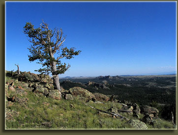
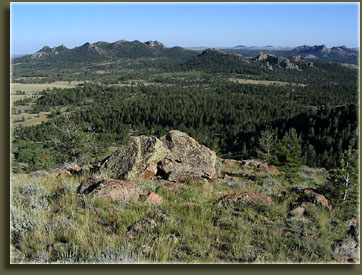
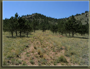
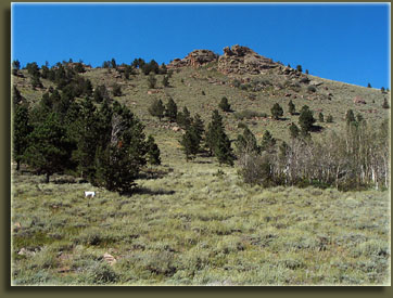
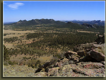
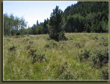
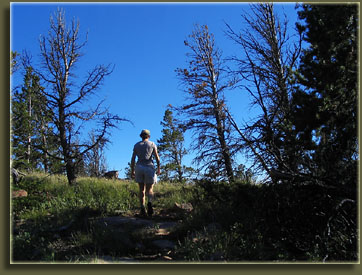
Maps: USGS 7.5’ quad: Sherman Mt West
Access: From Laramie, WY, take I-80 east to Exit 323 (Happy Jack Rd). Take Happy Jack Rd east for about 5 miles, then turn south onto the Blair-Wallis Rd (FR707). Drive ~2.5 miles to mile marker 1 and park on the side of the road near the intermittent stream. Begin hiking west up the drainage and you’ll see the remains of an old dirt road that has been purposefully destroyed. After 200 yards it levels off, and curves north. Watch for a faint two track branching off west and uphill and take it.
Trailhead (primitive): NAD83 z13 467472e 4561869n  Elev: 8335'
Trail: Unmarked on maps; follows the ridgeline of the Sherman Range from the Blair Wallis Rd to the Headquarters Trail. One-way distance = 2.9 miles. Not strenuous and fairly well-trod. From the parking spot on FR707, follow the old dirt road uphill to the west to a knob, then turn north and walk towards Crawford Point. The trail is a little faint here, but picks right up as you ascend. Once at the top of Crawford Point, you can follow this distinct trail northwest along the ridge of the Sherman Mts all the way to the east end of Browns Landing, where it ties in with the Headquarters Trail, which you can take back east to FR707, then loop back to your car via the road. The only tricky part is crossing the big meadow, and finding the trail on the other side. When you're crossing the big meadow, aim straight across, northwest, for a medium-sized boulder on the edge of the forest. Crude trail map HERE
Fees: None
Dogs:Voice control
Webcam: Vedauwoo Exit cam (2 miles south)
Weather: Current conditions    Local Forecast

August 27, 2007
I found this trail by accident one afternoon while bushwacking through the woods along the ridge of the Sherman Mountains east of Laramie. I parked at the east trailhead for the Headquarters Trail, a trail I’ve walked many times. This day I was looking for a little more adventure, so I started off on the Headquarters Trail, but at the top of the first set of switchbacks, I abandoned the trail and headed due east, uphill. I reached the rocky ridgetop, and peeked over the rocks to check out the valley below, and beautiful I-80 on the horizon (OK, so this isn’t wilderness area). I climbed up on to the top rock, but without full balance, a powerful gust of wind immediately blew me back off. I landed OK, but decided to keep to the safe route. Frank and Makenzie, pointers both, were with me, and eagerly accompanied me on this adventure. The sun was out, yet it was cool for August. I already mentioned it was very windy, and the sound of the wind slicing through the limber pines drowned out all other sounds. The Sherman Mountains run generally north to south, and once I had achieved the ridgeline, I decided to hike south and see what I could get to. The forest in this area is generally thin, and walking cross-country is no problem. I weaved a route through the pines and sagebrush, and followed a rail fence for awhile. Before too long, I came to what appeared to be a trail, and decided that since it was going the way I was going, I’d follow it and see where it went. Turns out it went exactly where I was planning on going. This isn’t the first time something like this has happened, and is perhaps a tribute to my lack of original thinking. Nevertheless, I followed this faint trail as it wove along the ridgeline, sometimes cutting to the east, sometimes to the west, of the rock pinnacles that dotted the ridge. Views were spectacular throughout. At times the trail seemed to disappear altogether, and I had to hunt around for it in likely spots. There were really only 2 occasions where the route, despite a lack of a trail, was not clearly discernible. It logically followed through openings in trees and rocks, and I was pretty happy with the trail, overall. I continued south, studying my map along the way, and came finally to Point Crawford, a bald overlook of the Crow Valley with sweeping views of Vedauwoo and Sherman Mt across the valley.  The trail then led steeply downhill to the south, and turned into an old jeep track near a rail fence. I continued downhill and to the east, and came to a T intersection with another old jeep track. I turned south and before 500 yards, I reached the Blair Wallis Rd about 30 yards south of milemarker 1. At that point, I turned around and basically retraced my route to the car. 

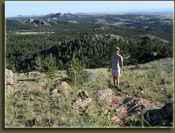
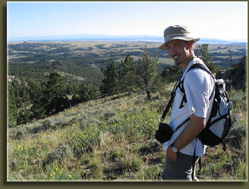
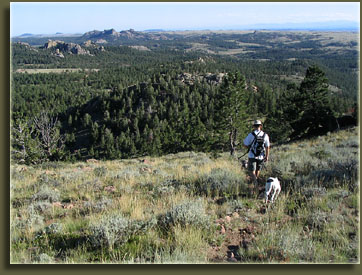
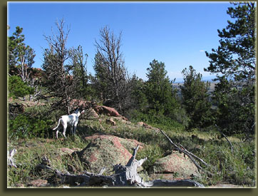
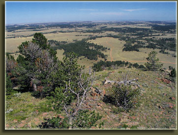
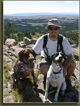
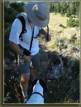
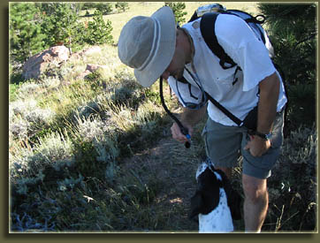
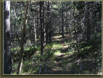
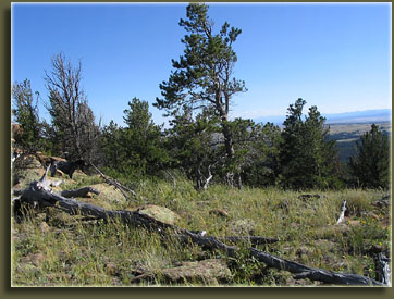
The very next afternoon I came back, this time with Andra in tow (in addition to Frank and Makenzie), and we parked at milemarker 1 and headed up the trail. I brought along my GPS logger so I could map the trail. Andra thinks I’m pretty geeky, and she’s probably right. Turned out the data didn’t come out with the right format, so the logging was all for naught. We hiked uphill to the rail fence, then up to Point Crawford, no small feat in the heat of an August afternoon, cold front or no. Once at Point Crawford, however, the trail mellows out and spends a lot of time in the trees so it was very pleasant. We passed the point where I had initially met the trail the day before, and continued following it. At times it was very faint, but mostly it was narrow but clear. No cairns or blazes marked the route, but it was obvious which direction to go. The trail followed the ridgeline faithfully as it turned northwest, and crossed a couple of wetland drainages. Eventually, the trail hit the Headquarters Trail far off east of Brown’s Landing, though the junction was unmarked and very inauspicious. We turned around at that point and headed back to the car in the cool of the afternoon shadows. The entire round trip took about 3 hours.


Andra, exuberant at Crawford Point

Beginning of the route
Crawford Point from below
View southeast from Crawford Point
Frank checks out the off-trail action

Sam with Makenzie and Frank
Makenzie catches on to the camelback
No water for dogs on this trail

Crawford Point Trail near the junction with Headquarters Trail


Back                      Next

 More nature pics at:

Page created 2-13-08
Comments