| Location:
Medicine Bow National Forest, between Cheyenne and Laramie, Wyoming
Access: From Cheyenne, drive west on Happy Jack Rd to the big National Forest monument. From there, drive 3.6 miles west and turn north on a graded forest road. Immediately take the right fork, which leads along South Branch Crow Creek. From 3/01-5/25, you must park at once and continue on foot. During summer, you can drive for a mile along the creek, but itís nicer to walk the whole thing. Trailhead: NAD83 z13 472614e 4562812n Elev: 7840' Trail: From Happy Jack Rd, itís 3.5 miles to Upper North Crow Reservoir. Follow the rough road for the first mile, then just stick close to the creek and follow the well-defined footpath on the west side of the creek that sometimes strays several hundred meters from the creek, but returns. There are also trails on the east side for much of the way. Beaver ponds make crossing difficult in many places, but narrow sections of the stream allow for easy crossing, especially outside of spring runoff. Elevation loss to the reservoir is 400 ft. Map: USGS 1:24K Sherman Mts East Fees: None Dogs: No posted regulations Webcam: Vedauwoo Exit cam (10 miles south) Weather: Current conditions Local Forecast May 18, 2008
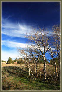
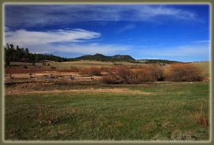
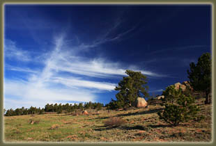
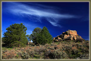
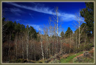
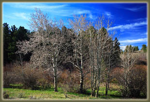
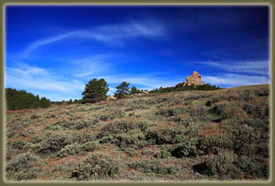
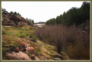
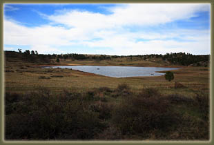
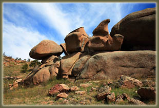
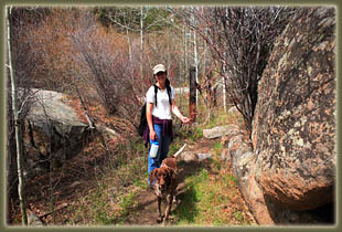
By 8:00 we had parked the car at the seasonal closure, even while watching a truck cruise right past the sign and drive on up the road. Boys and girls, remember to read road signs and follow directions. Frank and Makenzie spilled out the car in doggy anticipation, and we all set off down the road under a clear sky and a fair temperature of about 60F. Summer came to southeast Wyoming very suddenly on May 16, 2008. No kidding. The night before it was in the 30ís and we had a fire going, and the following day it was in the 80ís. The grass was greening up along the trail, and catkins were blossoming on some of the willows and a few of the more precocious aspen. We followed the road until it veered away from the creek, and took the footpath that continued on next to it. Large beaver dams have created numerous ponds, all lined with willows and water birch, some so thickly wooded that you can hardly see the water. Makenzie splashed into what open water we did pass, and Frank got is feet wet but no further. Pasque Flowers, white daisies and white lilies were all blooming along the trail, with columbines leafing out in the shadier, wetter areas. The trail ran right along the stream for awhile, then ascended up out of the riparian area and into sagebrush fields from which we could inspect the surrounding granite formations. The trail lead back down along the stream, and the channel tightened up as it squeezed through a canyon of sorts. We crossed through a barbed wire fence, and continued on along the path that veered several hundred yards east of the creek, then gradually veered back over the course of half a mile. Rounding a bend, we came to the reservoir. By this time the sky the had clouded over quite a bit with high clouds, and the wind was picking up. I was glad we had decided to hike this so early in the day since by 9:30 it was looking a little less than inviting to be out and about. We threw sticks in the water for Makenzie to swim after, and even Frank got wet as he chased birds along the shore. We found a nice spot under a pine tree for a snack, then walked further east for a look at the larger part of the reservoir. Three people in a rowboat cruised by, and about half a dozen people fished near the parking area on the north shore. In our ramblings along the shore, we flushed out a blue heron, who made deep, reptilian gurgles as it circled around us. I suppose we must have come too close to a nest. We cruised back the way we came, taking much longer to inspect the beaver dams and throw sticks into the water for Makenzie. By the time we reached the car some 4 hours after we set out, the wind was blowing around 20, and the sky was completely hazed-over by high clouds. A nice hike for a day that turned sour pretty quickly. |
 |
