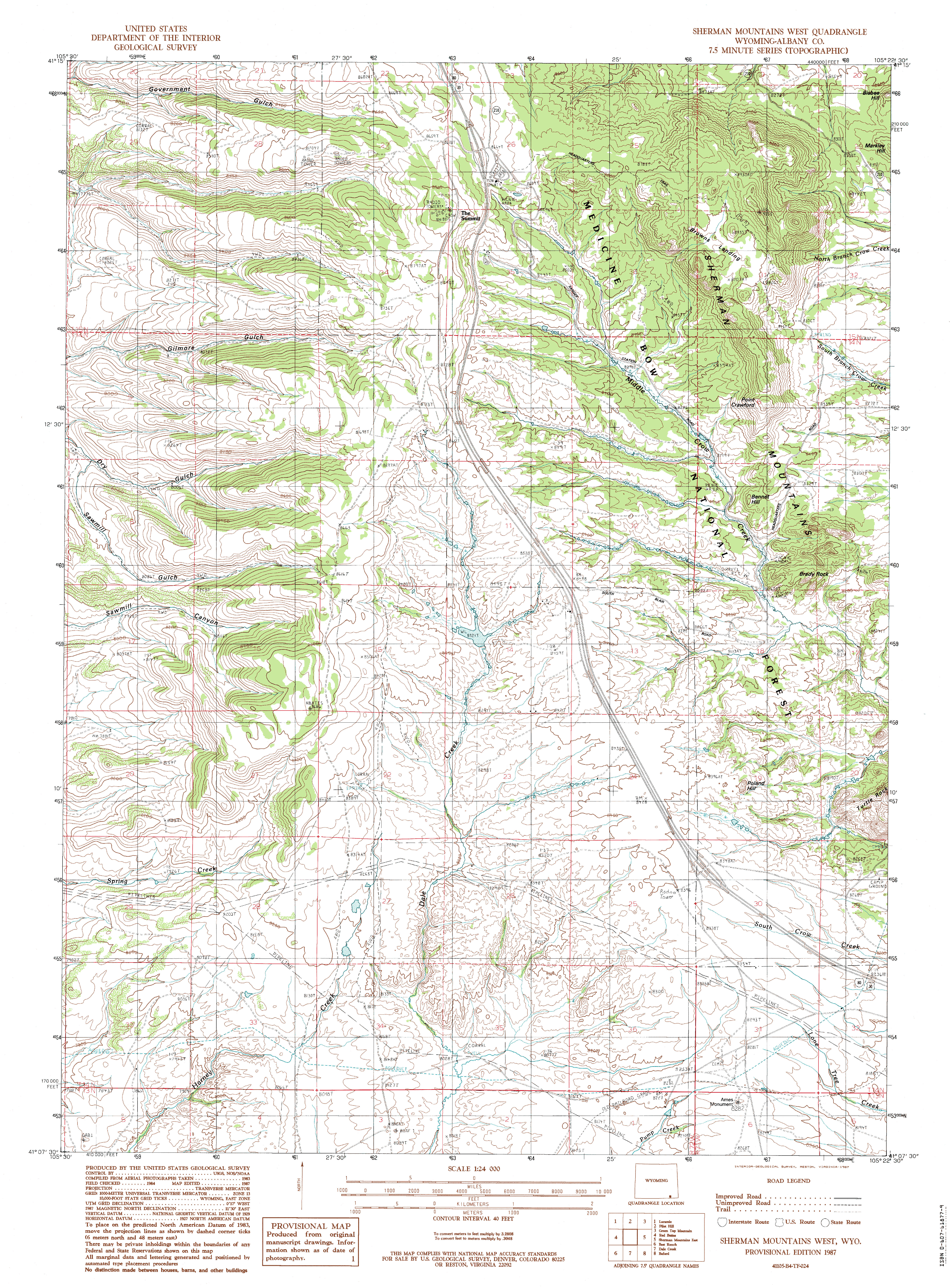
Brady Rock
July 14, 2012
Henry and Makenzie spilled out of the car when I opened the back door, and it was all I could do to keep them corralled while I splashed on sunscreen and got my pack on. Down we went through the pines and aspen to the willow jungle by the creek. Crossing Middle Crow Creek turned out to be a lot harder than I thought it would, what with the large expanses of open water behind the beaver dams, and the multiple braided channels draining from them. I ended up hiking upstream almost to the picnic area to find a suitable crossing. Once across, the three of us headed downstream towards a blue line on the map that headed north, and seemed like a good spot to start looping counterclockwise around the cluster of granite blocks, one of which was Brady Rock. It was hard to tell which one was the tallest of them, but the point is academic, anyway. When we got to the drainage that came in from the north, I learned that somebody long before me had the same idea of this being a good spot to head north, and that somebody decided to build a trail right up the gulley. Easy. We took to the trail and enjoyed a leisurely stroll north on a well-defined but unmarked route that ran through sections of aspen, then ponderosa, and then open meadow, before heading back into the pines and to a wire fence with a gate, beyond which lay a 4-wheel drive road. By this time we were pretty well east of Brady Rock. I recognized our location, as Sherman Mt lay just to the right of the road, and decided we should give a go at the top. Off we went, into the aspen, enjoying the cool shade cast by the fluttering green leaves. Cow shit everywhere, much of it fresh. I suspect I will need to have the metronidozole ready for the dogs when they show symptoms of giardia in about 5 days. We worked our way towards the saddle between Sherman Mt and the sub-peak to the north, but the jumbled boulders kept kicking me out of the center of the drainage and forcing me north, so that we ended up on the spine of the subpeak. The dogs were having a tough time with the big boulders, so I set them up in the shade of a big Douglas fir, told them to stay, and then I dashed for the top, clamboring over boulders and using my hands to chimney up tight spots and chutes. Alas, I was not able to get to the very tip-top, as the pitch became too steep, but I was able to get some nearly-panoramic views from lower down. I didnt dally at the high points, but scrambled on back down to Makenzie and Henry, who were waiting anxiously for me in the shade. Reunited, we tracked back down the mountain, and Makenzies nose made sure we followed the exact route down. We stopped in an aspen grove because I was taken with a particularly interesting large boulder that begged to be sat on for a nice rest where I took off my boots and cooled down for a while. Back at the road, we returned to the gate, and once through, set off to the north to get north of Brady Rock for the return trip. We crossed through open sagebrush dotted with very large ponderosa pines. Clouds rolled in, bringing a welcome cool breeze. In no time, we reached another fence with a gate, which we crossed through, and immediately we were back on another trail heading just the direction I wanted to go. There are an amazing number of trails and roads in this part of the forest. Decades ago, this entire area was a military training ground, and I suspect most of the roads and trails stem from that era. The trail turned into a rough
road that got better, and soon I passed a couple of guys camping, and then
I spilled out onto a pretty good road that I had been on months before.
More tents, more trucks. Pretty busy in here. I took off uphill and over
a couple of drainages, passing by a creepy vertical log structure covered
with blue tarps. Voices drifted down from the rocks above, but nobody in
sight. Graffiti on the rocks indicated frequent use, and easy vehicular
access (Ive rarely seen grafitti more than a few hundred feet from a road).
We circled on around to the west side of the rocks, and in no time we were
drawing down through the old picnic area, with remnant tables and fire
rings a testament to a bygone era of frolicking. Soon we were back at Middle
Crow Creek. Id intended to stay east and north of the creek until we got
back to our original crossing point, but it wasnt possible as the creek
ran right up against massive rocks that were difficult to get around. We
merely crossed the creek where convenient, and essentially walked the road
back, though we stayed a hundred feet or so from the road to avoid cars.
We got back to the car about 2.5 hours after leaving. I had in my head
that I might try to get to the top of Brady Rock, but from all angles it
appears to be much more than a scramble to the top.
;)
From the Sherman massif, looking northwest to Pole Mountain ;)
Brady Rock from the north ;)
Another view of Brady. From afar, it's easy to pick out the tallest formation, but up close the forest and terrain obscure the view. ;)
Sherman Mt and the spiky northern subpeak. ;)
Great granite sculptures hidden throughout the forest. |
;)
The meadows and ponds at Middle Crow Creek ;)
Just north of Middle Crow Creek ;)
;)
Heading east towards Sherman Mountain ;)
Typical granite formations along the route ;)
Makenzie, hiking fanatic ;)
One of the nicer stretches of trail on the loop ;)
;)
Sherman Mt, on the right. The subpeak to the north is a fun destination, though tricky to summit. ;)
Aspen stand on the west flank of Sherman Mt ;)
Looking back towards Brady Rock from near the top of the unnamed subpeak north of Sherman Mt ;)
Looking south to Sherman Mt, which is a fun class II summit ;)
The tip top of the subpeak north of Sherman showing the difficulty in getting to the tip top. Not my bag. This view is as far as I was willing to climb. |
