Cherokee
Park to Peak 8102
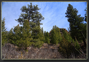
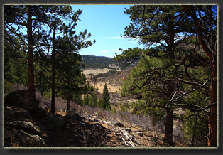
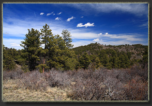
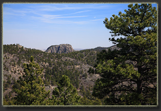
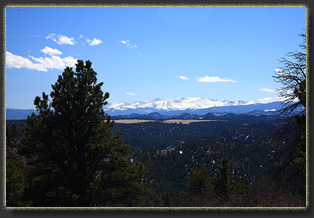
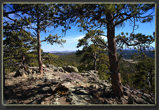
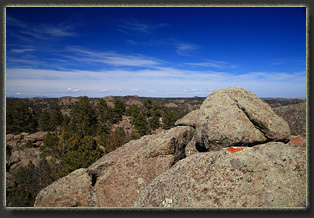
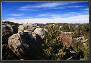
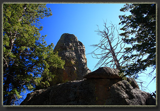
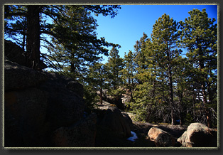
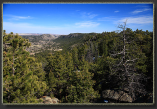
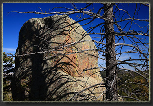
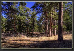
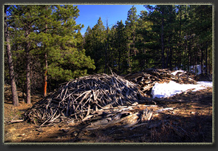
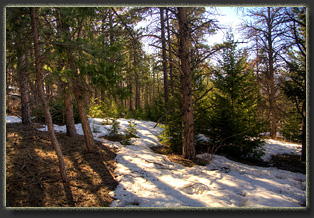
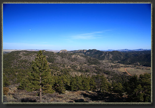
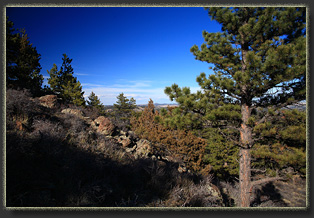
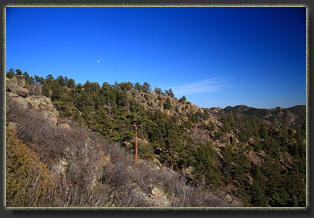
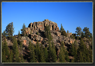
View larger map Itís a sunny 70-degree day and Iíve escaped the city for a few hours to tromp around amongst the limber pines and Douglas fir in the rowdy country around Cherokee Park near the Wyoming border, a hybrid land of forest and plains, dotted with great chunks of rough granite, a land on its way to becoming denuded hillsides of dry grass and cactus under a generally warmer climate. The process seems to be well underway: dead trees abound, from beetles or fungus or just plain drought. Fresh green cheatgrass coats the hillsides, especially the southern-facing slopes. Yet it is still a particularly interesting landscape, and Iím happy to be here on this breezy, warm spring day. I park the car just at the top of a rise at a convenient dirt pullout, slip under the 3-strand wire fence and head up a grassy draw until it chokes up into short pines and a tangle of mountain mahogany. I bull my way uphill through the dormant mahogany to the east, finding a USDA employee badge from 2012 in the scrub, ripped off a shirt pocket by the prickly mahogany, no doubt. Iíve had my share of losing items to grabby shrubs like mountain mahogany. At the top of the ridge, I pick up a faint trail and follow it to the northwest, towards the peak. The route leads through an open forest of ponderosa pine with limber pine in the rockier sections and Douglas fir on the wetter north slopes. Open meadows come and go. Itís easy walking. I regret not bringing Makenzie and Henry. I cross another fence, presumably the state land-USFS land boundary. Soon I am at Peak 8102, and I sit near the summit briefly to take in the view of the valley to the south. Turkey Roost peaks above the trees to the southeast, and I am sure Iím looking into Wyoming to the north, since itís only 5 miles away. I can see a feature to the NW that can only be Table Mountain, 9 miles away, but I donít immediately recognize any of the landmarks around Vedauwoo that I feel I should be noting. To the south, rolling hills with granite crowns, and away on the horizon, the Mummy Range gleams blindingly white with a thick coat of snow. Itís pretty darn windy, so I move further down to sit in a bowl in the granite slope and eat my snack. Pick a spot and it is your dining room table out here. The sun is waning, and the shadows are lengthening across the tawny grass. A nip grows in the air and I am almost convinced that it is late September by the slant of the sun and the coolness of the air. I have plans to visit another peak to the east called Haystack Rock and head towards it, crossing back on to state land. I near the peak, and soon I can see it: a knob of granite that looks both difficult to climb and quite a bit lower than the ridgeline Iím on now. I decide to pick a different target, and head out on to the granite slopes of another unknown peak, hopping around on the ledges and reveling in the amazing grip that Vibram rubber boot soles have on dry rock. I jump over deep crevasses in the rock, and slip up to the top of several smooth rock domes. The dogs would not have been happy about this segment. Probably better I left them at home. Down below, to the north, the North Fork of the Poudre glides by in deepest blue. Down the mountain. The soft pine duff underfoot makes for supremely easy walking. I stop in a particularly pleasant grove of large, red-barked ponderosa pines and take a short siesta, sitting against one the trees. On a warm afternoon with the hush of wind in the pines, how could one do otherwise? I generally follow my original route on the way down, but deviate for some portion further to the east, passing by a slash pile. Nearby, the trappings of humans are on display: rusted cans, glass jugs, generic rusting sheet metal, ammo casing. I move on, down the slope, through the open meadows, and skirt to the west to take a different route down to the car. This last decision puts me on a very steep slope that bristles with mountain mahogany. It is slow going as I pick my way down the slope, dodging jagged shrub limbs, sharp cactus and trying to keep my feet out of last yearís cheatgrass stands. Finally, I reach the car around 4:30., switch my boots for soft shoes, and Iím down the washboard road back to town. |

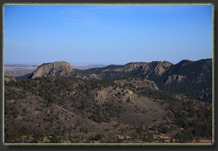
Turkey Roost 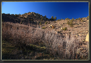 |
