

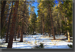
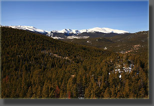
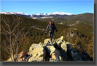
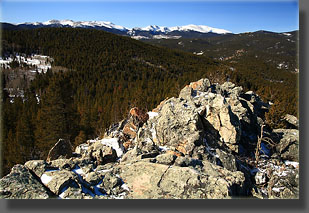
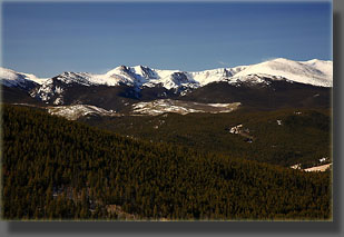
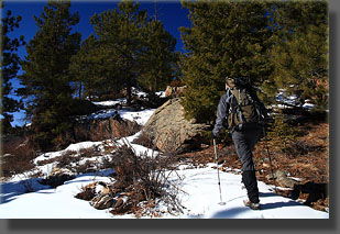
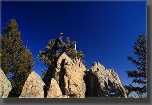
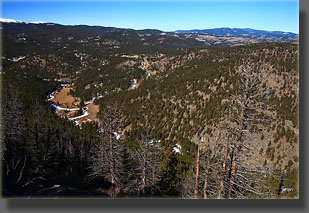
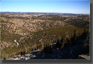
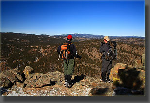
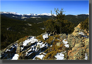
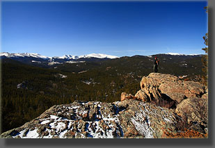
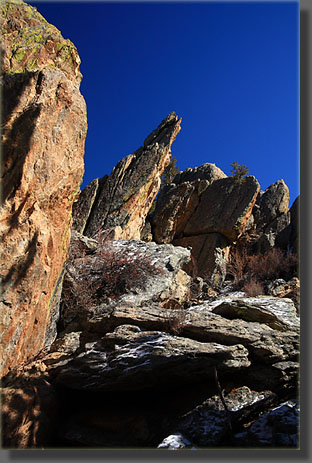
 2-21-09 Under surprisingly favorable driving conditions, given the mini-blizzard from the night before, I drove south under a wonderfully clear sky to LaPorte where I met Joe Grim, the face behind the hiking website at www.joeandfrede.com, and his friend, Luke, at 7:30. I hopped in Joeís car and we drove northwest to the Poudre Canyon and enjoyed the snow dusting on the pines and rocks all the way to the Pingree Park Rd, then up to the seasonal closure gate at Flowers Road where we stopped the car, zipped up gaiters, slipped on gloves and hats and shouldered packs before heading up Flowers Road through a fresh layer of snow. The unfettered sunshine was warming things up quickly, and though it had been 14 degrees in Loveland only 2 hours before, it had already risen to 31. We walked up the narrow road between ranks of lodgepole pine and Douglas fir, pressing the dayís first footprints into the snow. A light northwest wind was blowing, but not enough to keep things from feeling very comfortable. Iím generally a pretty goal-oriented hiker, planning out hikes long in advance to be sure of reaching a particular destination in a particular way (with a few notable exceptions), but on this trip I left all the planning to someone else, because with Joe and Luke I was hiking with a couple of focused hikers armed with GPS units and a destination. Two destinations, in fact. The first was White Rock, a rocky outcrop of white quartzite sitting at 8784 feet and just above the now-defunct White Rock Quarry (both named fully 100% without creativity), and the second was a nearby peak just inside the Cache La Poudre Wilderness sitting around 8695 feet, high enough to earn it the title of the highest point in the Poudre Wilderness. We hiked at a comfortable pace up the shaded road, getting occasional views to the west of Crown Point and some of the interesting lesser peaks nearby. The cool air was just the right temperature to keep comfortable while hiking uphill. The Poudre Wilderness is a relatively low-elevation wilderness area, and so it has a look that is altogether different from alpine areas further up-canyon. The most conspicuous feature, to me, is the abundance of reddish granite rocks laid bare in helter skelter stacks and piles with only a thin layer of yellowish lichen on them. Between, around and from the rocks grow Douglas fir, ponderosa pine, lodgepole pine and juniper, but these donít mask the underlying rocky look to the area. After about a mile and a half, we broke off from the road through the trees to the north, towards a grouping of rocks visible in intervals through the pine trunks, tramping through a thin layer of snow on the kinikinik understory beneath the conifers. I followed Luke up to the old mine road where we stopped briefly to adjust clothing for the coming wind-exposure ahead. I went over to the old quarry, but thereís not much to see, just a pile of boulders used a fire pit at the end of the road and a white gash in the side of the mountain. We walked up to the spine of White Rock, needing hands at some points for balance, and came out on top of a nice rocky ridge that ran about 30 yards to the high point. The view from the high point of the Mummy Range and Stormy Peaks to the southwest was fantastic, and we dallied at the summit to take it all in. From there we headed north into a snowy ravine that separated White Rock from the next point on the agenda, and in very little time came to the bottom and started up the other side through a scattering of pines and calf-deep, powdery snow. Mice, rabbit and coyote footprints dotted the snowscape, but none were seen. There appeared to even be a few human tracks, but that was hard to confirm. The slope flattened out and we arrived at a long summit covered with trees that made deciphering the precise highest point a little difficult. Joe and Luke used their GPS units to track down the highest point, touching other possible points along the way to be sure of hitting the highest point should it prove difficult to definitively identify. At the far east end of the summit the likeliest point came into view, and after a short scramble to the top, confirmed as the very highest point of the summit. A Forest Service wilderness boundary marker was firmly planted at the top, so this point is just barely in. We snacked, observed the map, and then headed west down the ridgeline to complete a loop back to the car. The rest of the hike was perhaps the most enjoyable part of the trip since the rugged south-facing cliffs provided plenty of visual interest and route-finding challenge on the way. Another overlook of open rock, falling off abruptly a couple of dozen feet, provided another great view of the Mummy Range, bathed in blindingly-bright snow. Further on, jagged fins of granite poked up at angles towards the south, and our route led us right through them. We hit the summit of one more dome on the way, this one at around 8400 feet that gave us a nice retrospective look at White Rock and the Poudre Wilderness high point. Then we headed downhill and hit Flowers Road, following it down back to the car, arriving around noon. Links to:
|
 |
 Comments |