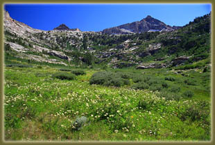
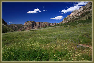
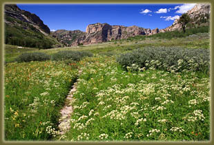
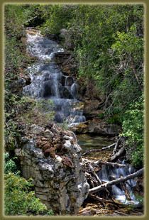
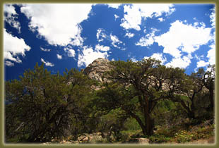
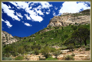
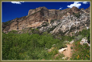
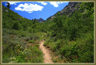
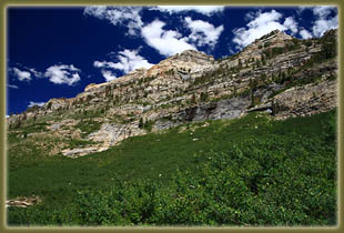
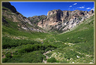
August 2, 2009; Monday The trailhead lot that accommodates about 7 cars was completely full once I pulled in. I used a nearby faucet to fill up my water bottles, then asked the camp caretaker where the trailhead was and he directed me to it. I started from the trailhead at 1:45. It was almost 100% clear, and lawdy, it was hot! Hovering somewhere around 80, the exposed trail with almost no shade and no breeze made me wonder if I’d make it far. I tarried by the waterfalls near the trailhead, and let my hands rest below the cold water to cool off my body. Felt great. The trail was fairly steep, and I kept sipping water to replace the buckets I was sweating out in the hot sun. The canyon itself was magnificent: wide, open, green down low and barren near the tops where the craggy rock ridges housed unseen mountain goats. A couple of long cascades of water slid down the rock on the west canyon wall. There was almost no shade, though there were plenty of short aspen along the way. From the very beginning, the blunt spire of Mt Fitzgerald loomed near the head of the canyon. I passed a large beaver pond, and upstream of that the water flow in the creek was less, but the trail generally mirrored the small stream that drained through the canyon bottom. Thomas Peak was up on the east side of the canyon, though it was hard to tell from the canyon bottom where the high point was, exactly. Near the head of the canyon, Snow Lake Peak came into view, and I regretted that I didn’t have more time to devote to hiking higher and checking it out more, along with Mt Fitzgerald. Summit fever is easy to catch! I reached the USGS survey marker, which is just about on the wilderness boundary, in about 70 minutes. The trail started to peter out gradually before that point, but it was still easy to follow. Near the USGS marker, the wide canyon reaches its head, and one could keep going, but it would be steeper with slower progress. I presume the occupants of the other 6 cars at the trailhead must have gone up there somewhere, probably seeking the summit of Thomas, Fitzgerald or Snow Lake peaks. As it was, I had boxed myself into a schedule (unforgivable!) and had to be back at the trailhead at 4:00. So, upon reaching the wilderness boundary just shy of 3:00, I turned around and walked back down, reaching the car at 3 minutes to 4:00. But don't you worry, Mt Fitzgerald, I'll be back to see you someday... |
 |
