Stone Door and Big Creek
Gulf
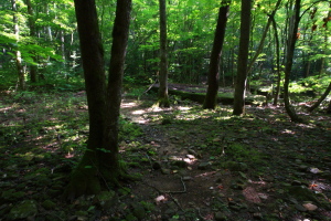
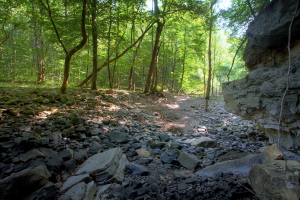
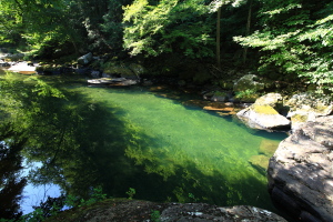
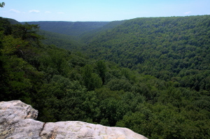
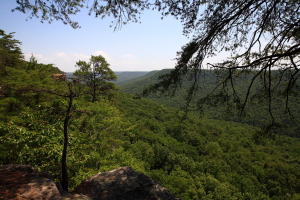
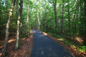
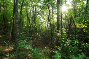
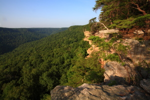
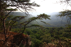
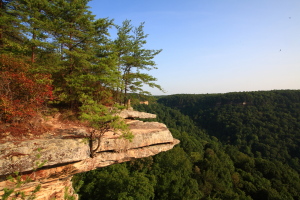
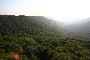
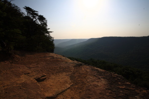
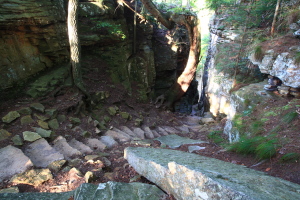
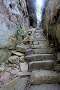
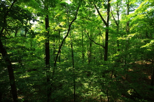
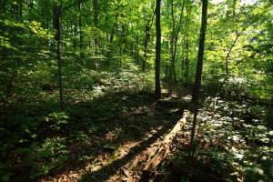
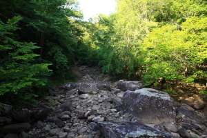
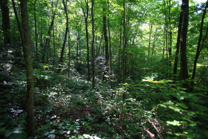
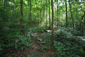
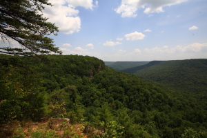
July 25, 2010 Itís a nice morning, sunny and calm, already warm at 7:20 as I put on my boots at the deserted trailhead and shoulder my pack. The ranger station here is fairly elaborate, with big restrooms, lighted path, lots of railing, a phone even. I sign in at the trail register, and move on down the trail towards Stone Door. My first trip to this side of the Savage Gulf Natural Area, and Iím glad to finally be here after living only 30 miles away for the last 3 months. This is a big change from the Rocky Mountains, but itís good to get some variety once in awhile. The trail is actually a tarred blacktop road for the first 300-400 meters, a wide swath that curves gradually through a typical Cumberland Plateau scene of white oak, sassafras, tupelo and shortleaf pine. A wooden platform juts out over the cliff above one of the side canyons, providing a nice view to the east and the rising sun. Beyond, the trail is unpaved, and feels better on my feet than the asphalt before. In one mile, I arrive at the Stone Door. At first, my attention is captured by the amazing drop off from the cliffs at the overlook, and I burn lots of time checking out the views in all directions. Great stuff here. The Big Creek canyon, or gulf, is 600 feet deep at this point, and the bare limestone cliffs allow one to gaze down at a 45 degree angle to the bottom, though the actual channel of Big Creek is obscured by a dense forest of hardwoods. Even in the morning air, the sun is hot, and I am sweating by the time I return to the shaded path, and follow it around to the stone door. The stone door is a natural vertical cut through the limestone caprock at a steep, but hikable, angle. Stone steps have been interlocked to provide easy walking down the steep causeway. Both sides are, of course, rock, and the walls are lined with moss in the cool shade. After descending about 100 feet, the trail opens up into the forest again, and from there it switchbacks down 500 feet to Big Creek. The route through this section is outstanding, as the forest has morphed into a very wet, almost rainforest-like ecology. Giant oaks still abound, but maples and tuliptrees have taken the place of the dryland pines from the plateau, and everywhere there is moss, creeper and mountains of poison ivy. The ground is an uneven jumble of rocks, and even the trail is nothing more than rocks packed into a semblance of a flat surface. The humidity is fierce, and Iím sweating crazily even walking downhill, but the forest here is amazing. Big Creek itself is dry, with nothing to let one know there is a creek but the whitewashed boulders worn smooth by apparently seasonal flows in the gorge. The Big Creek Gulf trail takes a quick right turn, and begins paralleling the creek upstream through more dense hardwood forest. I down more water as I cruise along, and listen for the sound of water in the creek over the buzz of a million cicadas that echoes throughout the forest. Soon enough I hear water, and I descend an obvious route down to the creek several hundred feet away. Water is flowing in the creek, and just a bit downstream the water has pooled into a blissful green tarn of perfectly clear water on smooth limestone. Sleek fish glide through the clear water, and in the shade of the hickories and Sweetgum on the banks, I am extremely tempted to shuck off my clothes and jump in the cool water. I donít, and content myself with splashing cold water on my face and neck, rinsing my hands and arms, then drying off with a bandana. Refreshed, I return to the trail and continue upstream. The trail leaves the creek, and heads up to the plateau, where it intersects the Greeter Falls trail. I scout out a place to rest in the woods off the trail, eyes open for copperheads lurking in the leaves, and sit on a log drink more water, pondering whether to take in Greeter Falls, or simply loop back to the car now and save Greeter Falls for another day. This time of year, the falls is probably not falling much water, I think. Two backpackers pass me, and are the only hikers Iíve seen on the trail so far. Itís hot, and nearing 10:30. The hike is taking longer than I thought, but then there are many things to stop and look at. I decide to head back via the Big Creek Rim Trail, and move on. This trail takes me past the Allum Gap campsite. It seems everywhere in state parks, the administrations cannot stand the thought of backpackers camping anywhere they want to, and corral everyone into ďbackcountry campsitesĒ, which invariably have pit toilets, trashcans and a road leading right up to them from park HQ so the ranger can come check permits. So it is here at Savage Gulf. I donít know why in the world they donít follow the Forest Serviceís model of dispersed camping (which they follow with very few exceptions in the National Forests across the country), but it seems like more work for rangers, more concentrated impact from campers and less solitude for all involved. Not my cup of tea. Iíd rather be left to camp wherever I can find a spot to do so. Okay, rant over. I continue east on the Big Creek Gulf Trail, enjoying the nice breeze through the open forest that was lacking in the dense woods down near the creek. The route has fantastic overlooks of the canyon below periodically spaced along the wooded trail. I stop at the third lookout around 11:15 and eat lunch of a PBJ sandwich and granola bar while overlooking the sea of trees below. The dropoff to the canopy of trees below seems so non-threatening, like you would just land in the downy comfort of a vast green pillow in total comfort. Then I focus on the rocky ground glimpsed over a hundred feet below that, and my sphincter tightens just a wee bit. Not so comfortable to fall there, I think. I am sure not to lean over the edge too far. A buzzard sends his shadow over my lap, and I watch him glide over the trees, searching for his own lunch. Must be difficult to spot a meal through all those trees. I down my second quart of water, and get a good start on my third as I get up and resume the hike. Itís not long before I reach Stone Door again, where there are a few folks milling about at the lookout. I take a left turn and head on back to the car, which I reach around 12:00. |
 |
