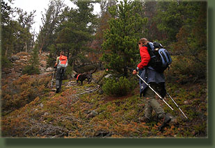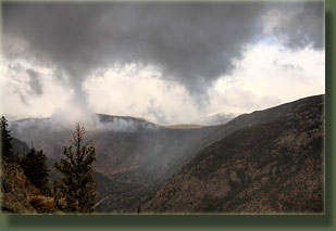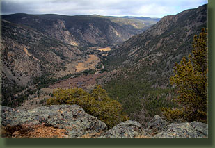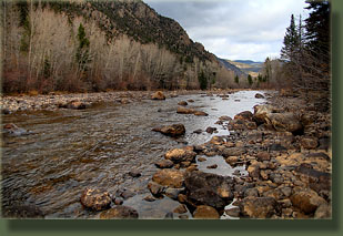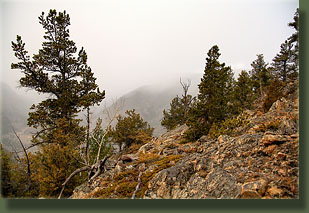
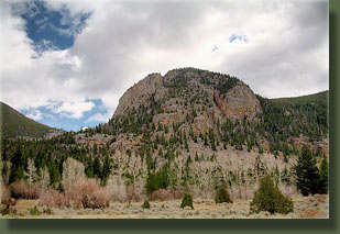
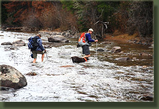
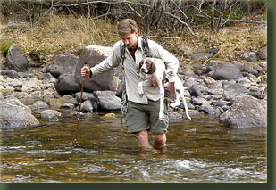
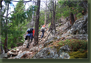
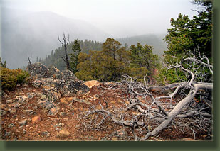
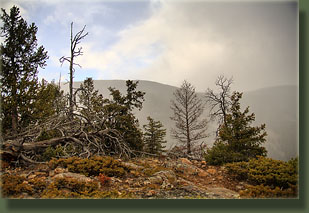
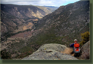
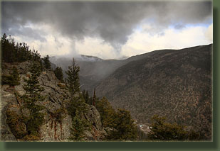
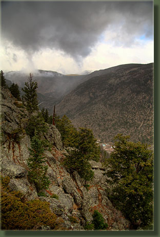
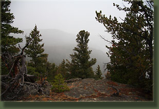
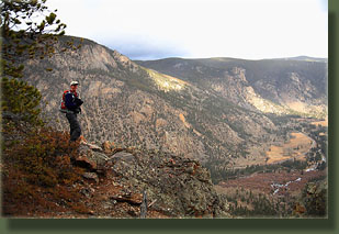
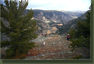
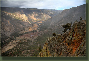
October 24, 2009 I met Joe, Frederique and their 8-month old chocolate lab, Poudre at Ted’s Place around 7:45 on a cloudy and cool Saturday morning, and we situated gear and dogs (Henry was with me) into the Forester, and got everyone settled in right before heading up canyon. Not long past Grey Rock, we hit clear sky, and slants of sunlight came into the canyon. Unfortunately, we drove right through the sunny skies into clouds again by the time we got to Sleeping Elephant Mountain, and started the hike right around 9:00 with a cloudy sky, a slight breeze and an air temperature of 44 degrees. Sleeping Elephant Mountain looks like its name, and in case any traveler is inclined to miss it, there’s a sign that points out where it is along the highway, as well as a campground by the same name just across the road. We got our packs together and leashed the dogs for a short walk along the highway shoulder up-canyon to a point where we could easily cross the stream and where both banks are on public land. The water level was very low. Since we had to cross the river to get to the meat of the hike, a low flow time of year is required to safely complete it. Joe pointed out that although spring has a low flow, and winter provides a nice frozen river to walk across, the snow on the mountain is too thick during those seasons to allow this hike to be easily (or safely) completed because the route is so steep. Frederique rolled up her pant legs and walked right across in tennis shoes. The water just barely rose above her knees in the deepest spot, but because her pant legs were rolled up just above her knees, the entire lower half of each leg was wet when unrolled. Poudre, the lab, splashed in and followed right behind. Joe and I sat on the north bank of the river and changed into sandals. While this went on, Henry kept making moves towards the water, but I wanted to keep him dry, if I could. His lack of fur and body fat would be a big liability if he got wet on a cold day like this one. So, I kept calling him back. Meanwhile, Poudre, evidently not satisfied with a single crossing of the river, came back over to our side, then flipped around and went back over to the south side, apparently having a great time. Joe walked on across the river, and then I hoisted Henry up under my arm, and slowly walked across the river, feeling my sandals slide on the mucky rocks, but managing to keep upright long enough to make it to shore. My feet were bright red and numb from the cold. I put on my boots and we stashed our wading shoes in the undergrowth by the bank. Joe then led the charge into the woods to the southeast. We crossed through an open meadow with tall, leafless aspen where Henry and Poudre frolicked about, chasing each other and wrestling, and having a grand old puppy-dog time. Beyond the field, the slope increased and we began a steep ascent up the northwest flank of the mountain through a mixture of Douglas fir, lodgepole pine and Engelman spruce. The track we followed was a very steep game trail, branching numerous times and offering several potential options for ascent. Joe had hiked this one before, though, and had a plan that I was perfectly content to follow. Nearly halfway up, it occurred to me that I still hadn’t gotten full feeling back into some of the toes on my left foot since the frigid-water crossing, so I stopped and pulled off my sock to warm up my foot with my hands. It wasn’t that cold, so it surprised me that it hadn’t warmed up yet. After several minutes, we resumed, and shortly after, I got all the feeling back again. Around that time, wet snow began to fall lightly, and reduced visibility considerably, though it remained fairly warm. We continued up to the summit of the mountain, which is the back of the elephant (when viewed from below, certainly it looks nothing like an elephant up close) and stopped to take some pictures there around 10:30. The summit is not open, but only sparsely wooded, so views of the surrounding terrain are easy to come by. Sheep creek cuts a deep valley to the south and east, so the panorama in that direction is particularly sweeping. We continued on northeast to the “head” of the elephant, which provides an outstanding view down the canyon from an open cliff. Very nice. I leashed Henry to my backpack so he wouldn’t fall off the cliff, though I’m almost sure he wouldn’t make such a mistake. The snow let up, and the clouds cleared just a little to allow a fair view of Boston Peak, Middle Bald Mt to the north, and a vague view of the Rawahs, already covered in snow, to the west. The trip back down was no faster than the trip up, owing to the steepness of the route, but all were glad that nobody had any serious falls. We reached the river and slipped into wading shoes for the return trip, and everyone managed to again stay upright and dry. I kept my sandals on for the short, quarter-mile walk back to the car, but I regretted it as my feet were once again numb by the time we reached it. I slipped on warm shoes, and we grabbed our lunches and commandeered a picnic table at the empty campground for lunch. The sun came out in earnest for about 2 minutes while we ate, before disappearing behind the clouds again. Just that kind of day. After lunch, we drove on back to Ted’s Place and parted ways. Joe is including this hike in his upcoming hiking guidebook on the Comanche Wilderness. |
 |
