Savage Run
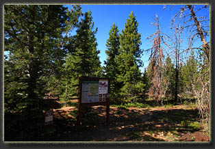
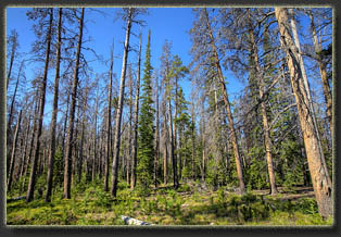
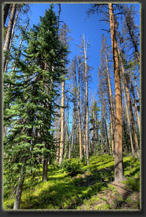
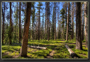
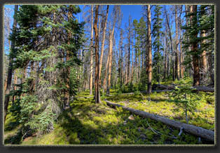
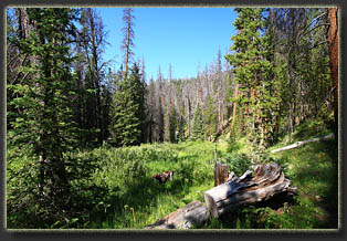
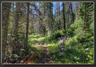
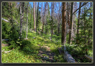
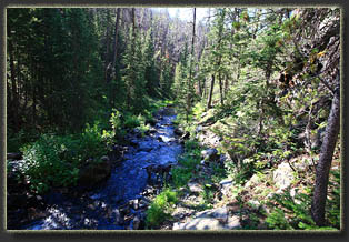
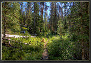
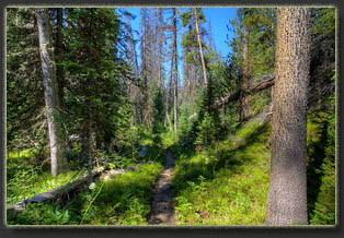
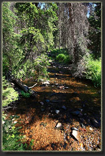
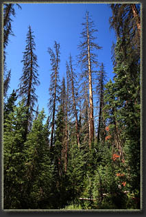
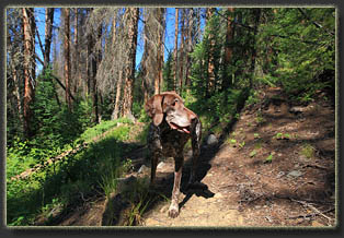
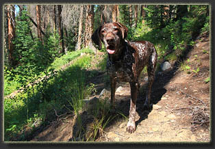
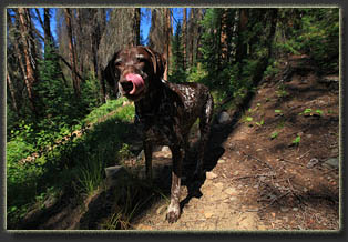
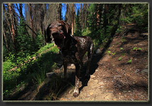
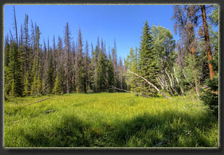
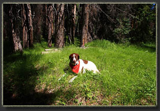
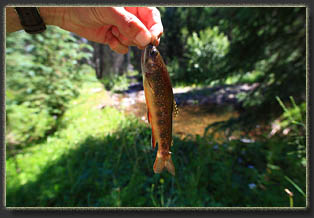
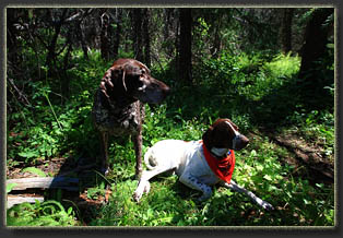
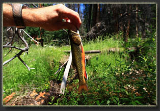
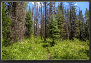
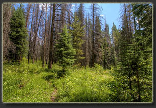
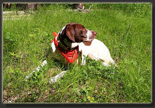
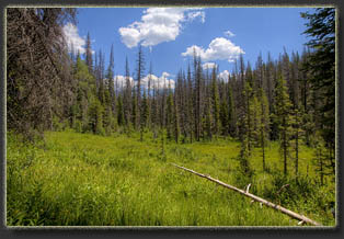
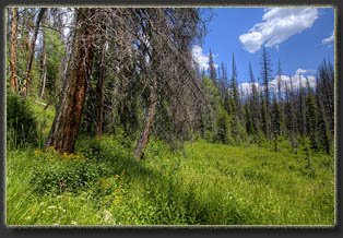
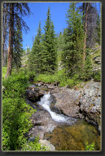
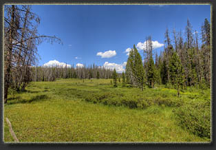
View Larger Map After a long drive, Henry, Makenzie and I arrived at the Savage Run trailhead around 9AM on a beautiful, sunny day. I slathered sunscreen on my arms in the 62-degree sunshine, and changed into my boots. There was another truck in the parking lot, Idaho tags. In other words, for a Friday morning, the trailhead was terribly overcrowded. I herded Makenzie and Henry onto the path and then they galloped off ahead of me, tails wagging furiously. We walked through a forest that had been cut sometime in the last 30 years, and all the trees were even-aged and no more than about 25 feet tall. Further along, as the trail descended towards the creek, we entered the wilderness and the old trees. Of all the places Iíve hiked, this area has the highest apparent impact from mountain pine beetle. Iíd estimate that 2 out of every 3 trees was dead. Aerial photographs of the area show mostly dead gray skeletons of trees, and the view from the ground is about the same. Most of the remaining conifers were subalpine fir and spruce, trees that are not on the menu for mountain pine beetle. A living lodgepole pine over 15 feet tall is quite a rarity in these woods, though everywhere young pines were emerging from the sunlit forest floor. We hiked downhill along what you might call the North Fork of Savage Run until we reached a large open meadow. I could see a guy fishing off to the north and waved. Further on we reached the main stem of Savage Run, and the moisture from the creek supported a very lush riparian corridor. Yellow butterflies flitted everywhere, and the dogs munched on the tall green grass. The moisture also helped conifers right along the creek fight off mountain pine beetle attack by allowing the trees to produce more sap to push beetles out of the drill holes they made in the bark. Thus, a higher ratio of living trees lined the water course. The trail followed the north side of the creek for some time. Dozens of logs had fallen across the trail, and sometimes one falling tree had netted 2 or 3 more on its way down, creating impassable barriers across the trail that had to be detoured. This slowed us down a bit, but no matter, it all looked very nice and felt very wild. At around 11, we crossed a meadow with cows in it. Thirty six unblinking black eyes stared at us as we crossed the meadow and picked up the trail on the far side. I made a mental note to be on the lookout for signs of giardia in the dogs over the coming days. Whenever I hike a creek that has livestock crapping in it, the dogs almost always come down with giardia. I suppose you can think of that as the silver lining for taxpayer-subsidized grazing on public lands. At around 11:00, we stopped at a scenic bend in the creek in the shade of a big spruce tree, just above a sandy bar in the water. I ate my pbj sandwich, throwing bits of crust to the dogs. Below, in the water, tiny trout flitted in the sun-dappled current, and I felt obliged to find out if they had big brothers in there with them. Leaving the dogs laying in the shade, I flipped out my fly line and in almost not time pulled in several small brook trout. None were very large, but they had beautiful red and white fins and mottled green bodies. They didnít seem too picky or cautious, and to my delight, even if they didnít get hooked the first strike, theyíd turn around and come right back until they did get hooked. Great fun. I followed the creek downstream, fishing as I went, and pulling in trout from almost every hole. The dogs milled about nearby, laying down in the shade when I stopped for more than a minute, then following me lazily as I slowly made my way downstream. After I pulled in the 30th trout, right around the area where the Cottonwood Trail comes in from the south, I decided it was time to head back uphill towards the car. I disassembled my rod and stowed it on my pack. The creek and trail continue for another 3.5 miles downstream, but I felt the pull of home. The dogs and I hiked the 4.5 miles back to the car in short order, arriving at the trailhead around 3:30. |
 |
