| Location:
Mt Desert Island; Acadia National Park, Maine
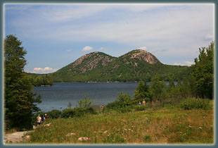
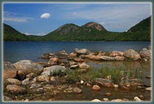
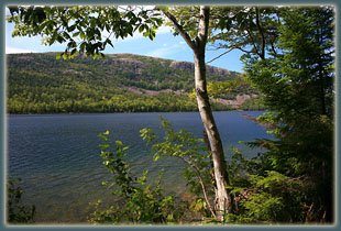
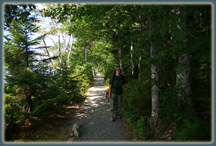
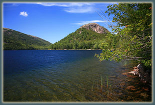
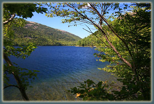
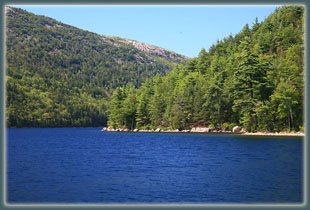
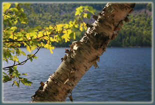
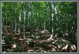
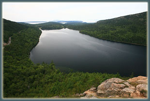
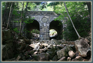
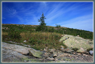
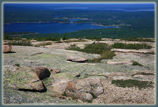
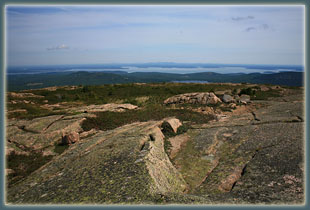
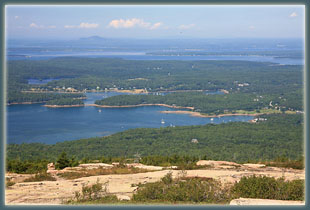
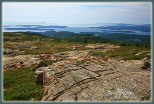
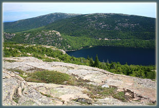
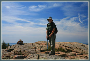
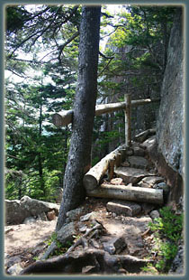
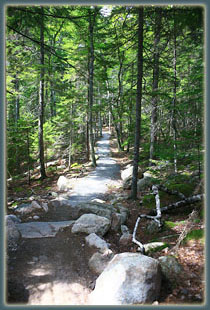
Maps: Trails Illustrated 1:50K Acadia National Park Access: Park at the Bubbles Parking Area north of Jordan Pond Fees: Free in winter; 7-day pass is $10 in spring & fall, $20 in summer (see NPS website for info) Weather: Current and recent weather conditions Local Forecast August 18, 2006 Mom and I left our tent in the Blackwoods camp before daybreak and drove over to watch the sunrise at Otter Point. Milky clouds muted the sunshine, but it was pleasant nevertheless. We ate a breakfast of granola bars sitting on the wall near the road, overlooking the Atlantic Ocean. As the sun rose higher, we drove over to the Bubbles parking lot and began hiking under cloudy skies at around 9:00. We climbed to the top of South Bubble, then downhill (a little tricky) to the shore of Jordan Pond. There are tons of trails leading every which way on Mt Desert Island, but with a nice map, itís no problem to navigate. Plus, all junctions are well-signed. The sun came out from the fog, and every color in the woods gained vibrancy. We passed by one of many handsome old bridges in the park constructed of stones, if the number on the center column is reliable, in 1925. We navigated the network of trails west and uphill through thick forest to what can only be described as timberline (weird seeing timberline at less than 1000 ft). The day was warm and breezy, and we made it over to Sargent Mt, which is the second-highest peak on the island.. Cadillac Mt is about 200í taller, but there is also a road leading right to the top of Cadillac Mt, making it much less interesting to my way of thinking. The summit of Sargent Mt was open granite with a few flowers and patches of scraggly shrubs. We could see far out to see over rippling blue water, as well as down to a few of the small towns that are intermixed with parkland. Acadia is a unique park in that respect. One minute your driving through national park, and the next, youíre passing through a fishing village. The next, youíre back in the park. Itís a patchwork of public and private land, with lots of trails connecting everything in a European-style way. From Sargent Mt we headed south to Penobscot Mt, where dozens of people were hanging out (unlike Sargent Mt where we had been the only ones in sight). From there we followed the trail down a steep cliff, then over to Jordan Pond House, where tons of people were eating and hanging out. Cars lined the road for a couple of miles in either direction. We got onto the flat path that circles Jordan Pond and headed north through a lush mixture of white pine and paper birch, taking a turn to the east to head back up to the parking area. The last section of trail lead through a fabulous forest made up entirely of paper birch. We arrived back at the car around 2:00. |
 |
