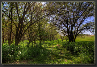
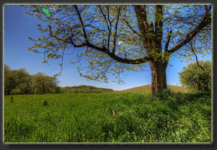
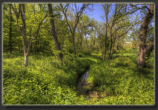
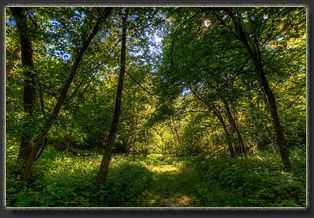
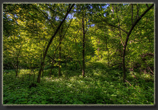
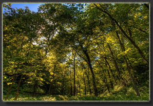
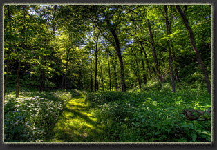
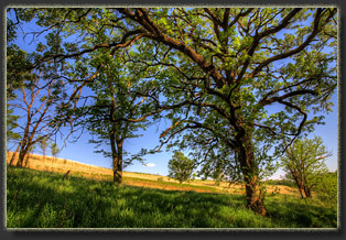
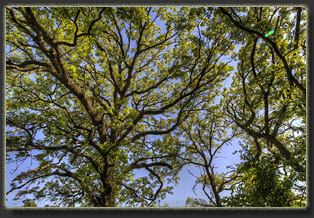
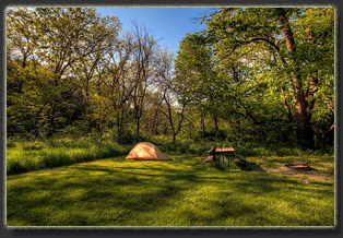
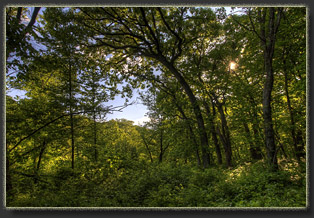
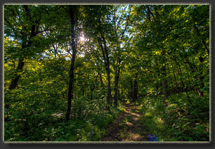
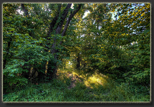
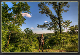
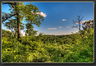
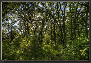
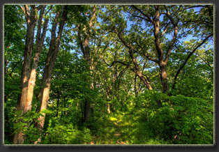
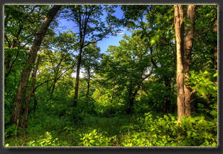
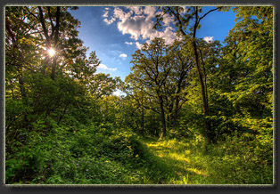
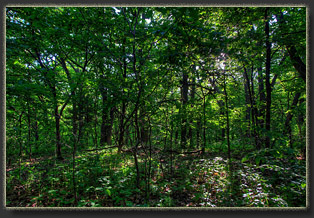
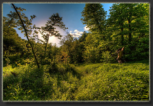
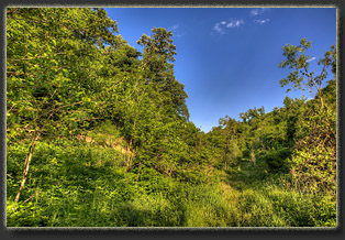
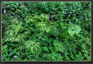
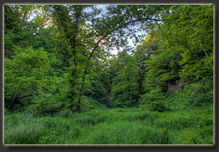
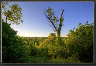
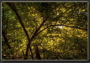
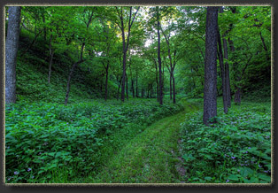
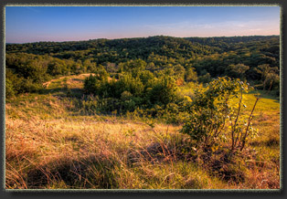
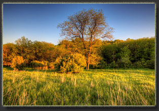
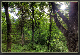
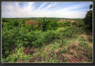
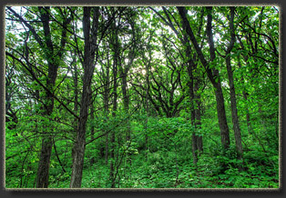
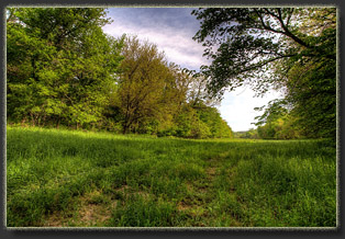
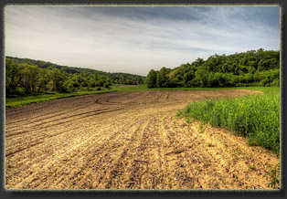
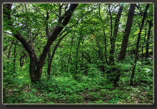
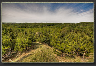
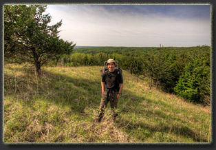
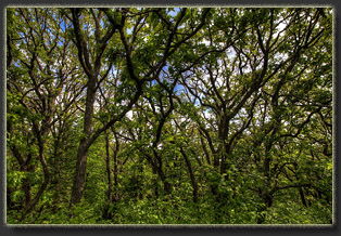
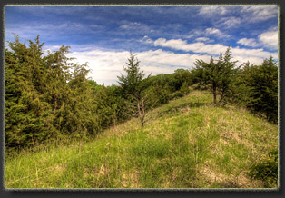
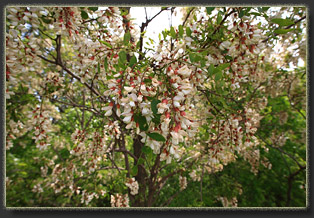
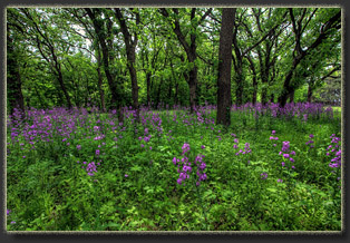
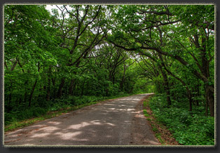
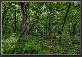
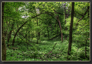
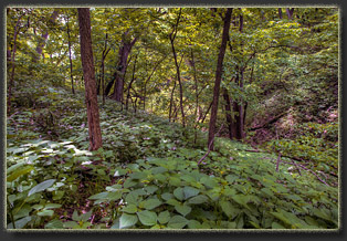
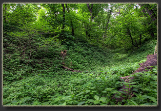
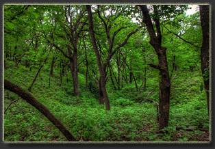
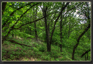
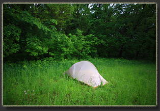
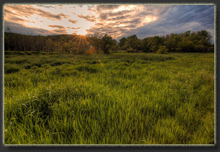
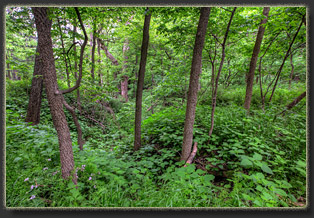
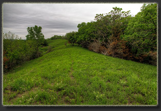
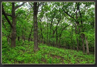
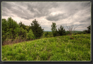
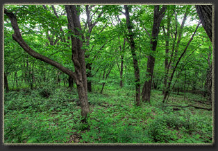
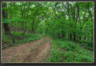
May 21, 2015 I arrived at the east trailhead around 3:00. Two cars with Nebraska plates were parked in the small 4-car lot. I packed up my overnight bag and tried to pay for a campsite, but the self-serve kiosk was out of payment envelopes. I scrawled an IOU on a notepad and left it on my dashboard. I hit the trail around 3:30. A farm on the corner by the highway was making some tremendous machinery racket, and I was glad to slip in to the trees that muffled the sound somewhat. It was sunny, around 78 degrees and humid. Coming from 6,200 feet in Wyoming where spring was barely churning and the oaks weren’t even budding, to 1100 feet in Iowa where grass was waist deep and the oaks were fully leafed out was jarring. The sudden green was overwhelming, almost tropical. Under the warm sun, I hiked on up the mowed-path, closely studying my laserjet print map as I went. Since Preparation Canyon State Park is only 344 acres, trail junctions come up very fast. I was barely out of the car before the first trail junction cropped up, and twenty paces beyond that, another one. Before long, I simply stopped putting my map in my pocket, and just walked with it in my left hand, reading it often. The trails were almost fully shaded by a variety of hardwoods, and I began making mental notes of the species present. This is a dry forest, and hosts a completely different cadre of trees than the wet forests in Appalachia. Scale was reduced also, with the tallest trees in the bottoms reaching only perhaps 60 or 70 feet, as one would expect with reduced rainfall and higher latitude. There are designated camps in the state park, and I quickly passed Camp 1, intending to check out camp 7. Camp 7 was taken, as was Camp 6. I never found Camp 5. Camp 4 and 3 were very exposed to the sun, and so I ended up looping over a mile back to within a quarter mile of the trailhead and occupying Camp 2. Quite comfy, surrounded by bur oaks with an open meadow to the east and a small creek to the west. Given the close proximity to heavy agriculture, I would not drink that creek water even if filtered. Every campsite was mowed and had a picnic bench and firepit. I set up my tent, offloaded some nighttime gear, then shouldered the near-empty pack and set off to hike as much of the park’s trail system as possible before dark. This is a nice challenge: how to hike all the trails without retracing any segments. I think it cannot be done, but it reminds me of those magazine puzzlers where you had to connect the dots without crossing any of your pencil lines. I first took the trail up past Camp 8, and quickly determined I should have camped there. Camp 8 is very nice, surrounded by massive bur oaks and rough-barked hophornbeam (Ostrya virginiana), or what I see the local pamphlet calls ironwood, a name I always applied to the smooth-grey barked Carpinus caroliniana farther east. I pushed on uphill to a nice ridgeline and hiked on to the west entrance and a picnic ground. Somewhere along this route, the mowing stopped, and I slogged through tall grass and leafy purple flowers through ravines lined with towering black walnuts, not fully leafed-out. The dozen or so ticks I pulled off my bare legs immediately made me appreciate the mowed campsite and mowed trails on the east side of the park. I visited camps 9 and 10, the most secluded and therefore most desirable campsites, though they too were unmowed and I picked up a dozen ticks just walking into Camp 10. In fact, I had to stand on top of the wooden picnic table to drink water to avoid ticks grabbing on and crawling up my legs. I'm used to mosquitoes swarming, but ticks? I dropped downhill to the canyon bottom, where elms, ash and red oaks flourished. Then I meandered back to the east towards camp. “The first reward of tree study – but one that lasts you to the end of your days – is that as you walk abroad, follow a rushing stream, climb a hill, or sit on a rock to admire the view, the trees stand forth proclaiming their names to you. Though at first you may fix their identity with more or less conscious effort, the easy-to-know species soon become like the faces of your friend, known without thought, and bringing each a host of associations.” -DC Peattie (1977) A Natural History of Trees of Eastern and Central North America So it was that the thick, sinuous limbs of the bur oak were readily recognized at a distance, and confirmed in close proximity by the leaves with smooth sinuses diving almost to the midvein near the petiole. The clean trunks of black walnuts, free of branches for the first 30 feet, showed smaller tufts of pinnate leaves unfurling high overhead, as well as thousands of distinctively-ridged nutshells on the ground. The rounded, tan nuts on the trail clued me to the presence of mockernut hickory, its pinnate leaves a bit difficult to notice amongst the abundant pinnate black walnut leaves. The dainty, fuzzy leaves of hophornbeam were very common along the trail, and perhaps this is the most common tree in the woods by number of individuals. Its leaves look a lot like elm, only not as stiff, and unlike the elm leaves, the base of the leaf is symmetrical. Yet I did encounter a few elms, both American and Siberian, in the bottoms along the creek. White ash was also present, along with some red oaks that were planted by park staff. Russian Olive was in bloom, it’s sweet smell overpowering in the cool, humid evening air. Red cedar lined some areas, indicating historical disturbance, probably through fire: cedar won’t grow in concentrations like this in a shady, intact deciduous forest; the seedlings need sun to thrive. Hackberry trees, large and small, were hard to miss with their flagrantly corky bark developing on very young trees and persisting through maturity. And of course the cottonwoods, though not abundant, made their presence known from hundreds of yards away by their massive height and shimmery light green leaves bouncing around in the slightest of breezes. Rounding out the dominant suspects were the occasional occurrences of mulberry, currant, black locust, dogwood, elderberry, basswood, smooth sumack and chokecherry. I had a grand time surveying the trees along the trails. These eastern forests are so diverse relative to the coniferous forests in the Rockies. It’s a nice change of pace to consider all the different species crammed into such a tiny corner of Iowa. I reached camp at 8:00 after hiking about 6 miles and succeeding in touring all but 3 stretches of trail within the park. I cooked ramen noodles by the fading light and washed up from a collapsible canvas bucket of water. I checked myself carefully for ticks. Incredibly, after pulling over 30 off of my legs while hiking, I had not a single one on me. The moon came out and I took
a walk in the dark, scattering a family of raccoons off the trail near
camp. Beautiful out. The only downside was the farm nearby had continued
making that industrial sound resembling a vacuum cleaner, and the high-pitched
whine reverberated up the creek valley. Very disturbing, but I was tired
enough from driving 9 hours and hiking 6 miles to overcome the noise and
sleep soundly all night.
May 22 The following morning I got up at 6:30, wolfed down a Pop Tart with hot coffee and hit the trail by 7. My route led me to the south side of the park where I knocked out 2 more trail segments before crossing the park boundary into the Loess Hills state forest and poking around along the narrow blacktop road until I found “Sarah’s Trail” on the state forest land, and began hiking this unmaintained path to the south, following the ridgeline. A long chunk of the route was covered by mature red cedar whose castings and dense shade resulted in a completely barren forest floor. I was glad when the forest returned to the deciduous type, with plenty of undergrowth, even if that undergrowth did harbor a million ticks waiting with open arms for my pant legs to come too close. To counter this, I used 6” bungees around my pant cuffs and tucked them into my boots. This way, any tick catching a free ride would show up on my tan pants so I could flick them off, and several dozen did just that. After 1.5 miles, I reached a muddy two track. To the west lay a freshly-planted cornfield, several acres in size. The presence of corn fields within the forest, all visible in the maps and on Google Earth, is a bit puzzling. The brochure speaks of renting the land out to farmers and keeping 20% of the crop standing in the fall “for wildlife”. Well, what did wildlife do before 1840 when men started planting corn? I don’t know what’s really going on here, but I am very skeptical that wildlife need corn to make it in this fertile forest. Furthermore, if they did need corn to make it, why not leave all of it unharvested and simply plant 80% less acreage, leaving more ground for native plants? I suspect that there’s something political going on, or perhaps this is just the best way for the state forest to generate revenue. Anyway, to the south a few hundred yards lay County Rd E60 near Jones Pond. I walked to the road, checked out the trail across the road, which is unlabeled, but clearly part of the state forest and mowed just as some of the other trails are. Returning north, I tried to ascend to the top of a new ridgeline, but I never found a reasonable break in the thick forest where I could begin, so I stayed along the cornfield edges, soaking my pants, and then I simply walked in the middle of the cornrows to keep my pants dry. I came upon a DNR sign (Department of Natural Resources, not Do Not Resuscitate) and followed this minor trail to an old two track that led through dense woods and finally reached the ridgeline. Continuing north, a little unsure of exactly where I was, I eventually broke out into open prairie on the ridge near County Road E14. I left the road and followed another ridgeline to the northeast that had a faint trail for awhile that completely disappeared and from then to the road I was truly bushwhacking. I reached the county road and walked it for about ¼ mile before seeing a break in the fence and a grass-covered ridgeline that looked like easy walking. It was. This ridge took me south to a cornfield. From there I pulled out my GPS to direct me back to the picnic area and just then a tractor came rumbling down the park road, which turned out to be only a few hundred yards up the slope. I pushed on uphill and reached the road near the shelters, where I stopped and had a snack of nuts and granola. I was pretty sweaty by that time so I removed my shirt and set it in the semi-sun to dry a bit. After a nice rest, I walked the park road to the picnic area, where I’d been last night, and then followed familiar trails back to camp, arriving around 12:30. I ate lunch of tuna and crackers, then lay down in the tent to take a nap. The high pitched whine of the farmer’s silo drilled into my head, and I couldn’t ignore it. I decided anywhere would be better, so I packed up camp in 30 minutes and left. I hopped in my car and motored south through Pisgah, then west on County Rd F20 to the west side of the Little Sioux Unit, where I had preplanned a ridgeline hike using Google Earth. As it happened, there was a parking area near where I had hoped to park, and I pulled in and filled my day pack with goodies. I followed a social trail through a thickly-forested ravine that gradually eased up onto a grassy ridgeline heading north. Only ¾ mile from the car, I reached a private property boundary, and had to turn around. I fiddled around on a couple of other ridgelines, and took a loop back to the car, but all in all, it was a pretty short hike, confined by roads and fences. By the end, the wind was blowing a good clip, and the sky was completely overcast. Veils of rain loomed in the distance. I briefly considered grabbing my gear from the car and making camp in the forest, but on a whim I drove off and returned north to the Jones Pond parking area I’d hiked through earlier. I cooked ramen noodles by the trunk of the car, and it started raining as the noodles were boiling. I fished out my rainjacket and hunched over the steaming aluminum pot while raindrops pelted my back. I remember cooking Ramen noodles in the rain in Shenandoah National Park 12 years ago in this very pot, on this very stove, hunched over it in the same way. Once cooked, I slipped into the car and ate my noodles while rain pounded the windshield. The steam from the soup fogged up my windows. After eating, I pulled out my book and read for 30-40 minutes before the rain stopped. I packed up my overnight bag again, and it rained again, and I sat in the car and read for 30 minutes again. When the rain stopped, or rather paused, I immediately shouldered my pack, hiked up the road ½ mile to the cornfield and selected a spot in the grass at the edge of the forest to pitch the tent. I walked back down past the
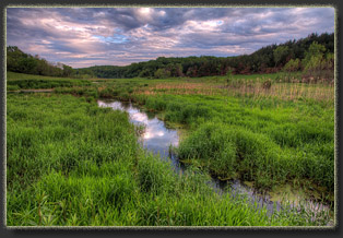
car, then south to Jones Pond. Dozens of birds flitted about, chattering
and singing along the creek. The sun came out briefly, glancing brilliant
orange light on the water and wet reeds. Pleasant evening, though the gnat
swarms near the water were a bit tiresome, especially when one would kamikaze
right into my open eye. I returned to my tent and laid down around 8:30,
read for awhile until it was full dark, then dozed off and slept splendidly.
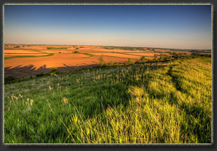
May 23 Up at 7 under a hazy sky; air thick with humidity. I didn’t even bother trying to dry off my soaked tent before packing it up. I hiked back to the car, filled up my day pack and ate a pop tart and heated up coffee. At around 9, I hiked south towards Jones Pond, and followed the well-marked, well-maintained trail to the west of the pond, through a ravine with massive black walnuts, and then south further to the ridgeline that ran north about 2 miles to intersect once again with E60 (the same road I’d parked along). This was a pleasant, easy hike through grassy ridgeline with great views in all directions. Signs occasionally marked the way, but the route was informal. When the ridgeline began to descend into tangled brush and small, second-growth trees, I turned around. Heading back to the car was
trickier than I had anticipated, as the ridgelines forked and my fatigued
mind was on autopilot. Twice I took a wrong turn and had to backtrack to
pick up the route again. Luckily I had my GPS. I hate to rely on the thing,
but in this case, I’m sure it saved me an hour or two of aimless hiking.
As I neared the car, rain came again, lightly. Once I reached the car,
the rain intensified. With deteriorating weather, I drove south through
Pisgah for the final time, on my way to Omaha, Lincoln, Grand Island, Ogallala,
and points west.
|
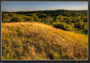
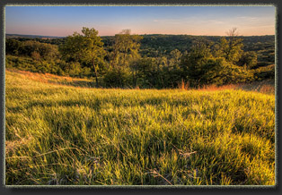
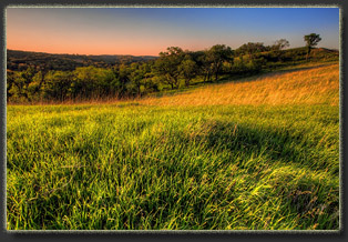
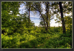
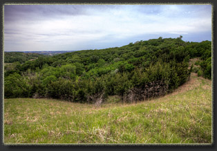
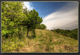
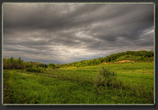
Grassy ridgeline on the east edge of the park
|
