Mt Neahkahnie
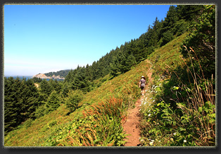
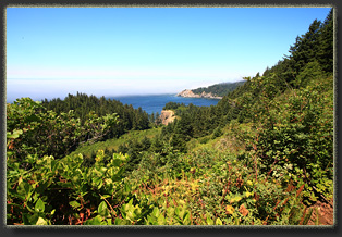
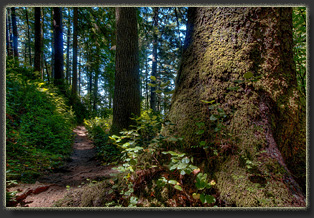
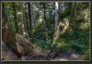
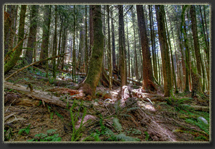
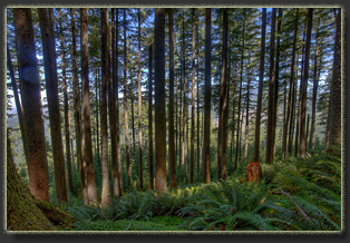
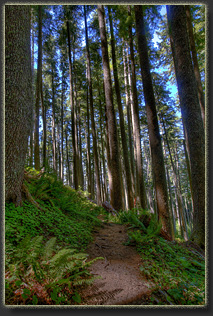
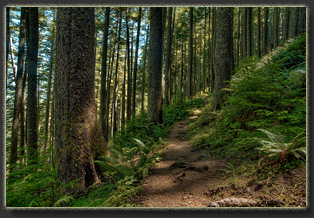
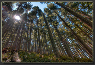
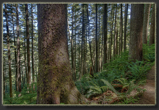
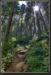
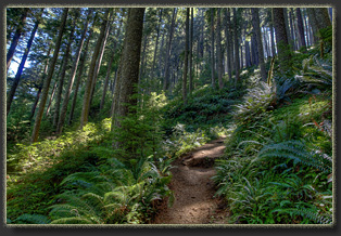
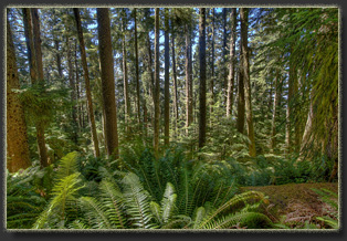
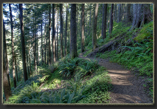
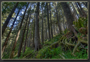
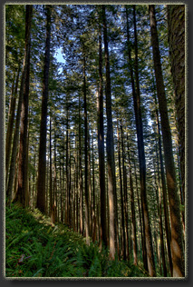
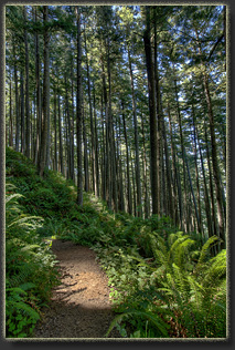
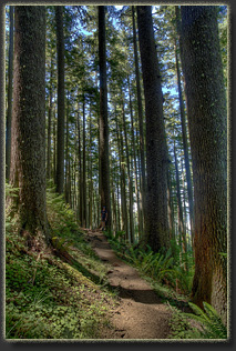
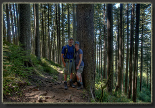
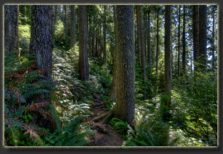
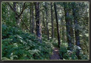
August 7 2015 After hiking at Cape Falcon and getting our ocean waves crashing on rugged rocky shoreline fix for the day, we putter the rental Corolla a little over a mile south to a pullout on the west side of the highway. A sign next to a trail catches my eye, and we decide to check it out to see if itís the Mt Neahkahnie trailhead. It is, though the spelling is a bit different. This TH is not in the place I expected. My Oregon Parks website-derived directions instruct to continue another mile at least, but the sign says what it says, so I shoulder the backpack and weíre off. Crossing Hwy 101 is no small feat, and we have to wait for a string of about 35 cars lined up behind a slow RV to pass before we can rush across the pavement and duck into the shade of the huge trees in the forest. The trail takes a quick switchback and weíre walking uphill on hard packed trail earth through a tunnel of shady green, cars whizzing by on the blacktop to the west, getting further below us with each step. We emerge from the brief shade into a sunny meadow, and hike uphill in the intense sunlight, following several switchbacks in the trail. I canít help but stop frequently to dine on the ripe thimbleberries drooping off loaded branches lining the trail. After less than ¼ mile, the trail enters the trees again, and none too soon as I am literally dripping sweat. I retrieve a handkerchief to wipe my face and keep the drops of sweat from collecting on the tip of my nose. Humidity? Check. The stretch of trail through the forest is fantastic, winding through a forest of towering Douglas firs, straight as concrete pillars and limbless for 150 feet. Sword ferns carpet the forest floor, many so tall that I could hide behind them without ducking down. The sun, nearly at high noon now, slants into the forest down the steep north face on which we are walking, lighting up the fern understory in a golden glow. The trail goes up and up, past switchbacks and higher towards the summit. Then we reach a point where the trail rounds a ridge and continues on the south face of the mountain. Confusingly, the trail loses elevation for some time, and, feeling we mustíve missed the summit, we backtrack some and look around for a route to the top. None is apparent. I can see what I believe is the summit through the trees and ferns, but it looks very difficult to get there. We decide to continue on the trail and see what we can see. This turns out to be the right move, as the trail soon begins to gain elevation again towards the summit. We pass through a very dense stand of hemlock, recognizable both by the enormous amount of rot-resistant woods laying around, and the almost complete lack of understory vegetation owing to the depth of shade created by the hemlock groves. I find I enjoy hiking through hemlock groves the least among all forest types, simply because itís always so dark and barren. We reach the summit and there is no mistaking it: A dozen people or more are perched on the bald ridge of rock that affords spectacular, unimpeded views to the south of Manzanita and the Nehalem Bay. A line of beach stretches off into the distance, and Cape Lookout is visible through the haze of the salt surf. We are lucky to have a very clear day, and the blue sky affords uninterrupted views of the mountains to the east, all sporting a patchwork of brown clearcuts and bright green regrowth, reminding me that this lush palace of old growth forest weíve been walking through is the exception to the rule, for better or worse. Itís a paradox: I like my wooden house, my wooden furniture, my wooden bookcase and I like being able to buy dimensional lumber for cheap at the lumber yard, and yet I like the old forests with their massive, moss-cloaked trunks and the deep woody smell of duff and peat. Like humans everywhere, I want to have my cake and eat it too. We dally on the crowded summit, and Iím ravenously hungry for the lunch of tuna, crackers and granola bars that we quickly dispatch. Soon, we have the summit to ourselves, and Andra walks around on the jagged rocks, gaining alternative views of the panorama below. Itís a grand spot, and Iím glad weíve taken the time to ascend. The large number of hikers convinces me that there is a shorter, easier route to the summit from the north, and later map examination confirms this. However, there is no disappointment in the route we chose, and I am looking forward to treading through the cathedral of giant trees once again as we depart the summit in the wake of an arriving family of hikers. More thimbleberries on the way down. I notice some kids snacking on the berries and empathize. They are really tasty. Andra is soon out of sight as I dally trailside, gorging on berries. On the hike back, I confirm that there is another summit to the mountain, and later map scrutiny reveals this to be the true summit, some 70 feet taller than the naked rock summit to which the trail leads. However, the true summit is tree-clad, and would likely afford no views in any direction other than the forest floor. We trundle on down the steep trail to the car, then head south to other adventures.
|
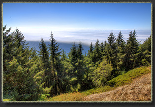
From the summit, miles of beach and ocean are visible, if the weather is clear. 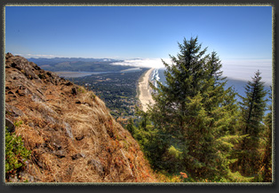
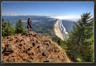
Andra enjoys the sunshine at the summit after lunch. 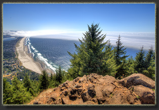
Neahakahnie Beach stretches for miles past the town of Manzanita 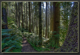
  |
