| Markley and
Bisbee Hills
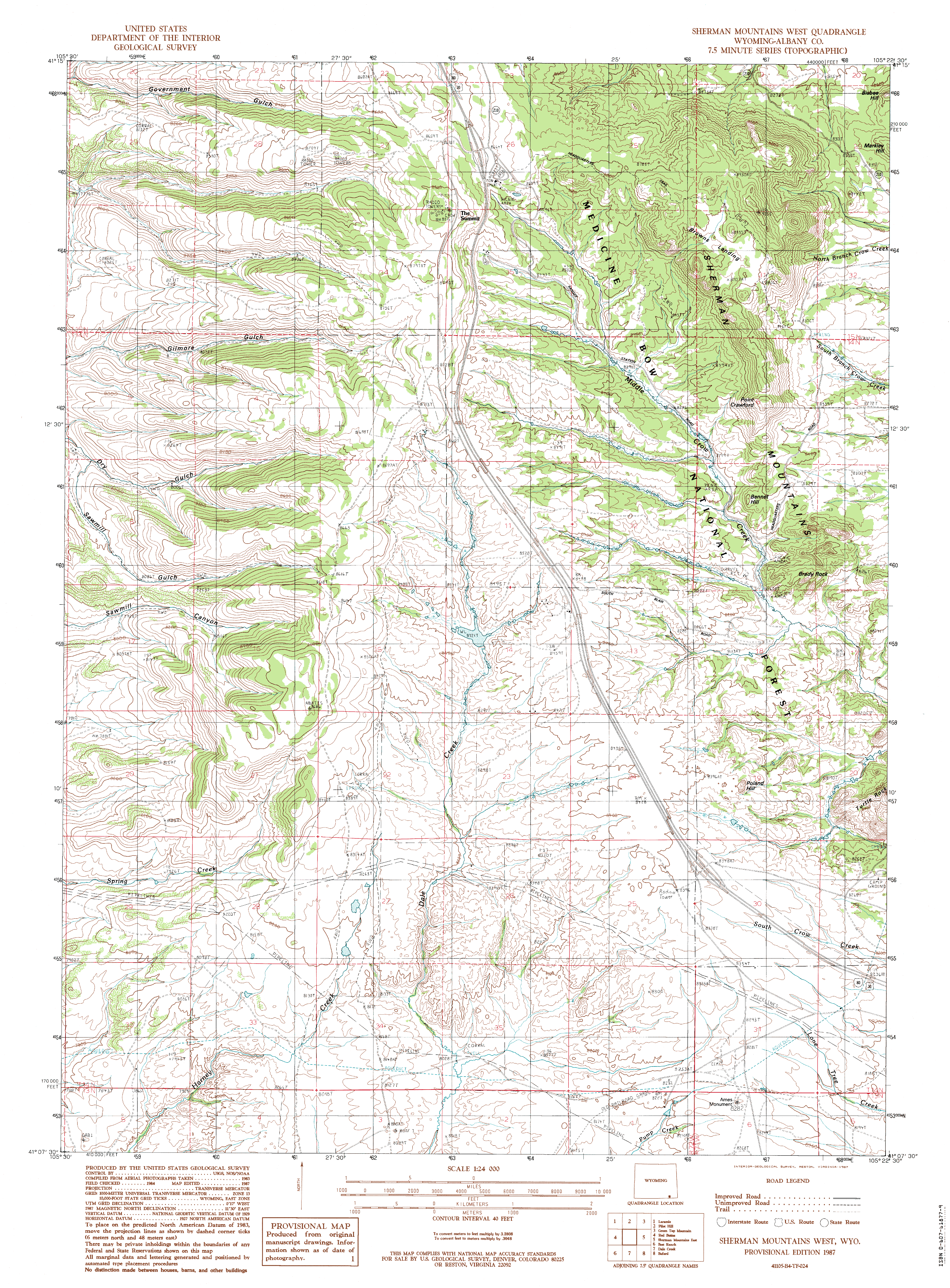
Location: Medicine
Bow National Forest, Pole Mountain Unit, east of Laramie, Wyoming
View Larger Map December 2, 2012 Makenzie and Henry gladly obliged to hop in the back seat, all panting tongues and wagging tails, when I opened the back door of the car and tossed my backpack on the floorboard. We zoomed off west in the ultra-dry air of a fantastically-warm December day. The sun was low on the horizon with the winter solstice only 20 days away, yet the air felt more like a cool August day. This impression was much-influenced by the complete lack of snow at 8300 feet. Some years past Ive been on skis in this very spot, but today it was all dry. I parked in the pullout on the north side of Happy Jack Rd just east of the Old Happy Jack Rd parking pullout. I listened for approaching cars and hearing none, let the dogs out of the car and quickly herded them over to the fence away from the road. Parking on the highway like this always makes me nervous with the dogs. Two years ago Makenzie was hit by a pickup truck racing by right in front of our house and incredibly, suffered only a cut on her face. Tough dog. I stepped over the barbed wire fence and pulled it up for the dogs to slip under. Then we disappeared into the pines and walked north up the rocky hill. All of Vedauwoo is pretty rocky, but this south face of Markley Hill is especially so. Henry had no real trouble bouncing up the boulders, but the old gal Makenzie had to pick and choose her path, and I had to haul her up a few waist-high dropoffs. I had to stop and pull my flannel off. Checked the thermometer: 61 degrees. Not a bad December day. It was a bit breezy, but with a temp like that the breeze was actually welcome. We continued up the hill through the forest, passing by very large orange-barked ponderosa pines mixed in with limber and lodgepole pines. Lichen covered almost every inch of exposed granite, and in the yellow winter sun the ochres and burnt orange hues seemed to glow on the rock. Nearing the summit, I angled around to the southeast side, remembering this to be the easiest path from my foray into this area last winter (when there was a lot more snow on the ground). We zipped right up to the top and looked around. Lots of trees on the summit of Markley, and the view to Bisbee Hill to the north is mostly obscured. Pole Mt is clearly visible to the south, however, just across Happy Jack Rd. We dropped down to the east, and angled north towards Bisbee through a very thick forest of Douglas fir and spruce on the north slope of Markley. Many dead trees have fallen over in this area, and the principle challenge of navigation is to avoid all the deadfall. I remember waist-deep snowdrifts in this saddle last year. Today, there was no hint of snow, and we cruised along with ease, following game trails pocked with deer pellet piles. We reached the low point of the saddle, and I noticed a trail running east-west that appeared to be more than a game trail, though it could just be a cattle path. I did not follow it to learn where it went. Instead we continued north, through the sparse pines and stiff bitterbrush (tough pants are a good idea in this area) towards Bisbee Hill, whose rocky summit peeked through the trees just often enough for me to keep a bead on it. As with Markley, the southeast side of Bisbee is the easiest way to get to the top, as there is a veritable staircase of boulders all the way up. Last time I was here, I climbed up from the north, and once on top, saw how much effort I had needlessly expended when I saw the route down to the southeast. Near the summit we were greeted with a strong south wind that blew the dogs ears back. Bisbee Hills summit is wide open, with no obstructions in any direction, so I spent a little longer looking around. Why are these summits named Markley and Bisbee? I couldnt find any information on that question. The USGS topos from 1905 do not list these features, but they show up in the 1987 maps. In the early part of the 20th century, the US Army maintained this area as a 62,000-military training area with Camp Otis near Pole Mountain as the center of operations. The headquarters for this Camp was, not surprisingly, very close to the current day eastern Trailhead of the Headquarters Trail. So, with the military controlling access to this area from 1879 to 1961, when it ceded management authority to the Forest Service, I surmise Markley and Bisbee were military men. Or, maybe just names that some military surveyor liked. Im sure the answer lies somewhere, but the first 10 pages of Google search results yielded nothing but links to useless automated map pages the clutter of the internet that covers up useful content by way of page rank manipulation. Heading back to the car, I swung out wider to the east to see some new territory. We came upon a fenced spring in the valley between Bisbee and Markley Hills, and more signs of cattle in the form of a stock tank fed by said spring. Henry and Makenzie found an elk carcass, perhaps a hunters trophy kill since the head was missing. We padded through the deep shadows of the woods back towards the car and were back in the seat heading back to Cheyenne a little over an hour after having arrived.
|
;)
Just off Happy Jack Rd
|
;)
;)
;)
;)
;)
;)
;)
;)
;)
;)
;)
;)
;)
;)
;)
;)
;)
;)
;)
;)
;)
;)
;)
;)
;)
