| Location:
Roosevelt National Forest, west of Fort Collins, Colorado
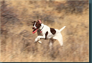
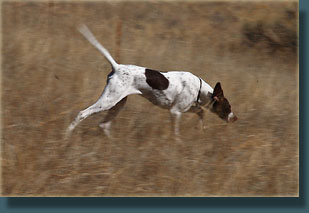
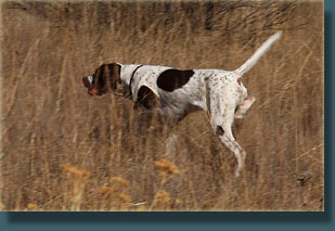
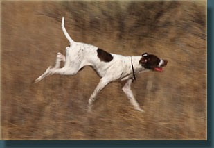
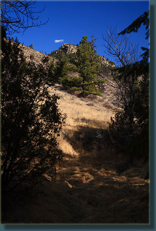
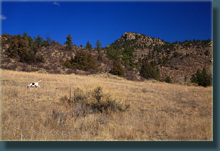
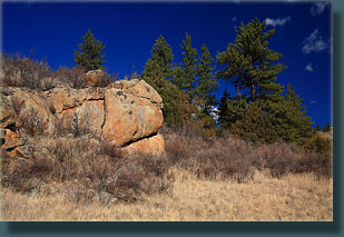
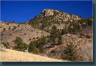
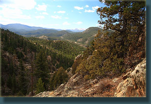
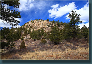
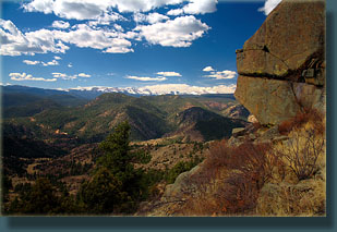
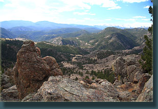
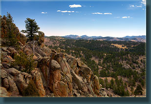
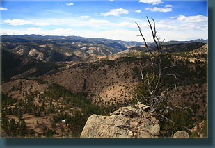
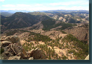
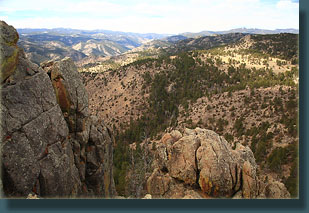
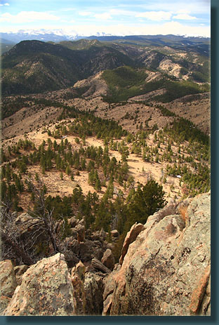
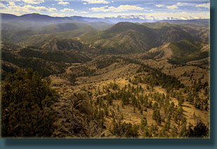
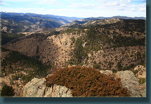
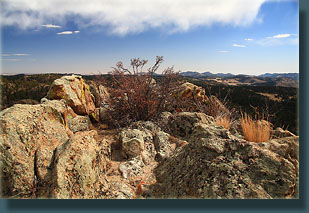
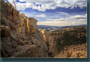
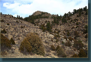
Access: From Hwy 287 x Hwy 14 at Tedís Place, head west on Hwy 14 for 26.7 miles. Just past the Pingree Park Rd, and about 100í before a sign that reads ďEggers Fishing RegulationsĒ, turn left onto an unmarked dirt road that dead ends 75 feet later. Park there. (UTM NAD83 zone 13 458163e 4504574n) Maps: Area is covered by USGS 7.5í quad: Big Narrows; or you can use this trail map Trail: No formal or marked trail. A faint path leads north up the gulch through pine and cottonwood along a seasonal stream. Follow the gulch, keeping to the main stem (not easy) and heading straight for Lonetree Mt which is almost immediately visible on the horizon a little over 2 miles away. The gulches are frequently choked with cottonwood and wild rose, while the ridges are covered with mountain mahogany and cactus, so neither way is easy going. Pick your poison and keep heading north uphill. Avoid the temptation of side gulches that lead away from the mountain. The final push to the summit is best taken from the southeast side and involves some scrambling, and the last 20 feet or so is a class III scramble that dogs will not be able to get up. Part of this route crosses private property, but donít litter, donít make a lot of pointless noise, and all should be well. Total distance is about 2.5 miles with 1525 feet elevation gain. Dogs: No posted regulations. Brush is dense and gulches fork frequently so keep an eye on your pooch. Also be aware that gads of cactus await tender-footed canines. Though they look silly, those little rubber dog shoes would be put to great use here. Fees: None Weather: Local Forecast Snow Charts Snow Map March 21, 2009 Diesel 18-wheeler mudflaps read, ďJesus Loves YouĒ, and young father shields from view his young son who is peeing on the side of the interstate as I cruise south into Colorado. There are no rest stops on the 30-mile stretch between Cheyenne and Wellington, and no trees to pee behind along the interstate in northern Colorado, so Dad will have to do. Good thing itís not windy. The radio explains that federal agents raided and trashed the home of a physician in Maine dispensing medical marijuana with legal state license to do so. But just like paper trumps rock, Feds trump State, and so the Feds came in running. Would Jesus approve of medical marijuana? That mystical hipster from our very own first century? Definitely. So say I, though Iíve never met him. Who was Jesus but a far left liberal bent on subverting the dominant paradigm of polytheism and ritual bull-sacrifice? Do you think Jesus listened to the party elders? The talking heads at the marketplace politico? Heck no, man, Jesus was a mover and a shaker, and he most definitely would have approved of medical marijuana, probably even recreational marijuana. Maybe Iím wrong, but Iím betting quite a few of his groupies were high on something, shrooms perhaps, in order to propagate crazy stories like walking on water, and water into wine, stuff like that. All Iím saying is that either the laws of physics were put on hiatus for a few dozen years, or those early Christians were feeling nicely toasted most of the time, maybe on wine, maybe on opium, we donít know for the Bible doesnít tell us so. Good philosophical topic to mull over while I cruise southwest to the land of the Poudre River and head up the streak of fading blacktop that mirrors the riverís sinuous march to the plains. Two slow vans pull off the road to let me and the guy behind me pass. Jesus loves you. The sky is blue and the wind is taking a work break so itís another perfect day in paradise. I admit Iíve yearned often to relocate to a wetter climate where trees grow fast and waist-high ferns cover the ground, but I would also be lying to say I wouldnít miss the uncanny streaks of perfect weather days in Colorado. Blue skies every morning make it easy to be outside all the time. Just past the Pingree Park Rd I spot my turnoff, and pull in. I didnít realize it was an actual road, so I keep driving in to the dead end some 75 feet later. The Forest Service has erected a thin brown sign that reads ďFoot Traffic WelcomeĒ. Well sir, donít mind if I do. I step out into the cool shade of the woods, and strip off my unnecessary fleece shirt. After slathering on sunscreen, I throw my pack on my back and release Henry from his anxious vigil at the back door. I clip the leash on him since heís more apt than not to go running right back to the highway and get himself smashed. We set out up the gulch at 10:10. To my surprise, there is a faint path that leads up the gulch along the dry creekbed, whether it was made by man or hoofed animal, I canít really tell. There are no visible bootprints but plenty of deer and elk calling cards so Iím betting on the latter. We pass under a stretch of powerlines and Henry claws at the ground, pulling as hard as his 7-month old, 40-lb puppy body can pull, wheezing and choking. Itís pathetic. I unclip the leash and Henry charges ahead of me and out of sight. For the next 20 minutes I am constantly whistling to bring him back closer. His little legs carry him far faster than his mind can think, and heíd be lost in minutes if left to his own devices. Very soon the summit of Lonetree Mt comes into view, and I wonder a little if it can even be summited. Not wanting to spoil any surprises, Iíve not researched this hike at all beyond what the USGS map tells me. The faint path leads across sloping meadows and through patches of Douglas fir along the now hydrated stream. Henry stops to drink his fill. The intervening ridges periodically block out Lonetree Mt, but I keep heading north up the gulch. There are multiple choices to be made at points where the gulch forks. As is typically the case, the map makes the choices look easy but they are not so easy when faced with them on the real, three-dimensional ground, where junipers and pines block the view of the topography. I seem to make the first 3 or 4 turns correctly, and although I feel Iím on the right path, the heavy vegetation in the gulch bottom gets me to wondering. Thick cottonwood stands, a foot of dried leaves and millions of prickly wild roses make it slow going, both for man and beast. At some point in this thickness, I make an ill-advised right turn and start heading up the wrong gulch. The going is steep and incredibly choked with vegetation and rocks, though this adds to the rugged beauty and I enjoy it immensely. Itís some of the most difficult terrain Iíve ever labored through. After 20 minutes of this, I determine that Iím going too far east, and decide to head straight up the side of the gulch to the ridgetop and get my bearings. This is not easy, and Henry and I zig and zag around trees, rocks and cactus to get there. At the top, the rocky summit of Lonetree Mt says hello from the opposing ridge, and I confirm that Iím too far east, but I also see that Iím not far away at all. Henryís tongue is red and swollen and hanging to the ground in the springtime heat, so we sit in the shade of a cliff and I pour him some water. I take a few swigs of lemonade and enjoy the sound of little birds chirping and flitting among the shrubs. At exactly 11:15, as if someone had turned on a switch, the wind starts blowing. I pack up Henryís bowl and the water bottles and we resume our trek to the mountain top. Always upward. We cross a large level field of dried wheatgrass and cactus with mountain mahogany accents. Downy mahogany seeds have collected in rock crevices and behind sharp boulders. Henry picks up several hundred cactus needles through this section. Poor guy is still trying to figure cactus out. I stop to help him several times remove some of the needles, but there are so many of them it is impossible to get them all. We head uphill, and thicker clouds began to shade us with welcome coolness. This is a hot hike up the southern slope, and though I typically enjoy a cloud-free day, I welcome the refreshing coolness these clouds bring. The summit looms, and to the northeast I notice to my surprise a whole development of houses with powerlines and roads that are not shown on my USGS map. I experience a quick shift of perception as my wilderness hike became somebodyís backyard hike, but continued on upward. The going gets rocky, and I swing gradually around to the southwest side of the mountain where it gets even worse. I have to lift Henry up a few boulders and steep sections, and lift him down a few other sections that prove to be dead-ends. I am able to thread a route around to the southeast side of the mountain, and pick my way between boulders and Douglas fir trees to the near-top. I reach a point where climbing is clearly required, some 15 feet below the true summit. I wrap Henryís leash around a small rock and pin it under a large rock, leave my pack, and scramble up the last few feet to the top, which I reach at 11:35. The view to the south is great. I can see all of the Poudre Wilderness up to White Pine Mountain, and all of the South Fork Poudre watershed up to the Mummy Range and Stormy Peaks. The Bald Mt complex looms to the west, still covered in snow. Virga drapes down like wicked fingers from cerulean-blue clouds to the east, and the patchy sunlight gives depth to the scene, so the ridges that are half a mile away actually look even further away. I see the spot where Henry and I came over the ridge, and the spot further on where we sat and drank in the shade of the cliff. I snap lots of pictures and look around for the lone tree. I see only a lone shrub, which is no tree, but which does sound a little more romantic than ďLoneshrub MtĒ. Henry is whining from below, unhappy about being stuck down there, so I donít tarry long before skipping down and letting him loose. He gulps more water and chews some on the last bit of remaining snow, a foot-long hump of snow that probably was a ten-foot hump of snow just two months ago, but is now the only snow Iíve seen today. I gulp more lemonade, and then we head back down. The trip down is a little tricky, as I several times get cliffed out, sometimes in spots where I could make it if I were alone, but Henry canít, and I canít make it while carrying him. But persistence eventually pays off and we find ourselves on the same flat mountain-mahogany plain as before, heading south. From up high, the best route down is clearly visible and we keep to the ridgetop in order to keep it in view as we head south. I stop again to clear Henryís paws of cactus as best I can, and remove a hitchhiking tick from his belly at the same time. Shortly after, I am pleased to see he is learning a little as he comes to a patch of really thick cactus and stops short, looks back and forth, and starts to try to find an alternate way around the cactus patch. I grin, hoist him under my arm and ferry him safely to the other side. I guess thereís hop for him yet. We get to the gulch and follow it downhill. The sky is more cloud than blue now, but it doesnít look like rain is imminent. I stop next to a large pine tree along the gulch to enjoy a little serenity of the woods, and pour Henry the last of his water while drinking down the last of mine. I see the powerlines up ahead, and throw the leash on Henry lest he race out in the highway that lay shortly beyond. We tread the last few feet of shaded trail and reach the car at ten to 1:00. Henry collapses in the back seat while I cruise down the canyon with open windows letting fresh canyon air blow through the car. |
 |
