| Lily Mountain
Location: Rocky
Mt National Park, Colorado
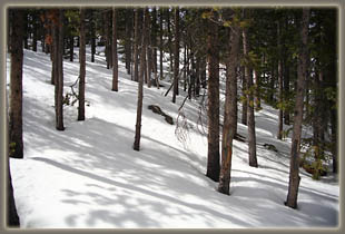
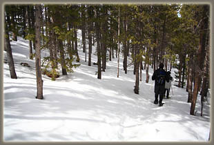
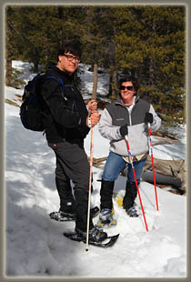
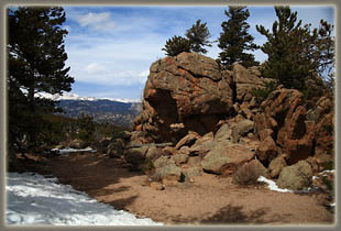
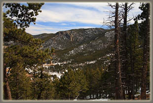
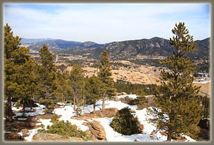
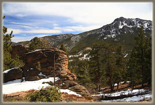
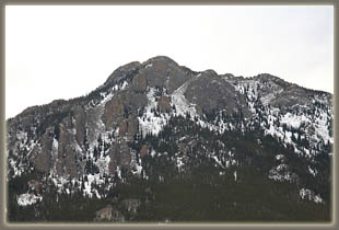
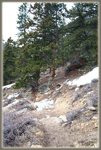
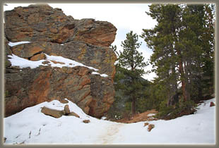
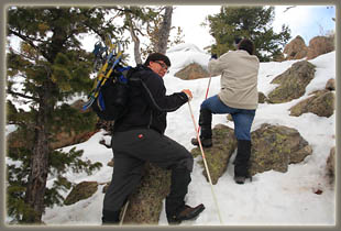
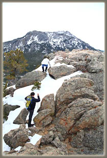
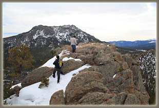
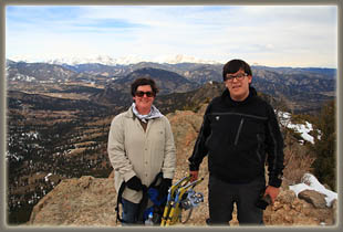
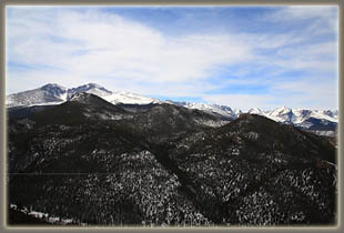
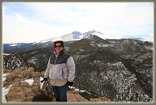
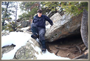
March 18, 2010 Mike and Mandy were in town from Texas, and despite the deep snow, we were determined to get in a mountain hike while they were around. Seeking a lower-elevation destination, we hit upon trying Lily Mt, a decent-sized rock dome with a trailhead near Estes Park. It filled the requirement that we not spend too much time driving since Andra, Christine and Ada were back in Estes Park waiting, and didnít want to wait too long. So, on a disappointingly cloudy morning, we drove south from Estes Park on Hwy 7, and pulled off the road at the trailhead, located just north of Lily Lake. We strapped snowshoes to our packs, anticipating their usage higher up, and began the hike at 11 am. The trail was dry at the trailhead, but we quickly encountered a thin layer of snow. After an initial ascent through ponderosa pine and Douglas fir, the trail began to slope downwards, causing me to wonder if we missed a turn somewhere. Why would we go downhill for so long if we wanted to ultimately gain altitude? After confirming we had not gone awry with the map, we continued on downhill for a bit until the grade leveled, and then, at a sharp switchback to the south, began to ascend through deeper snow, and thicker conifers. With the snow hiding rocks and roots under a slick layer of white, we made slow progress up the steeper pitch, and by the time we reached the rocky summit, we were practically crawling up the ice-covered trail. Still, we managed to get to the bald top around 1:00, and enjoy the fantastic Front Range from what has to be one of the better vantage points of the eastern front. Andra called Mike from Estes Park, wondering if we were almost done. Mike informed her we were only half done, and the immediate response was that she wasnít waiting for us to eat lunch. OK. We tarried at the summit a bit more, eating granola bars and snapping photographs. The descent was fairly tricky.
The ice on the trail made our progress extremely slow for the first couple
hundred yards, after which we were past most of the boulders, and were
able to utilize the snowshoes to positive effect. The altitude wore
on Mike, and before we made it to car, he was feeling the ill effects of
altitude sickness. We took things a bit slower, and the general mood brightened
as the sun came out from behind the clouds and cast yellow slants of light
through the forest. We made it to the car at 2:30, and drove on into town
to have our own late lunch/early dinner at Casa Grande in Estes Park.
Post publication comment from Mike: "Nice write up. I think that there should be more about the part where I felt I was going to die. Not like feel bad, but actually die on the side of the trail." |
 |
