

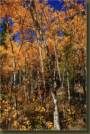
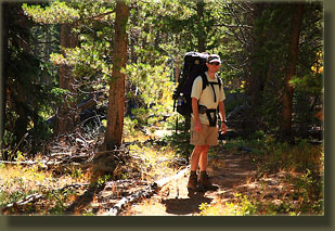
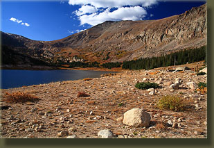
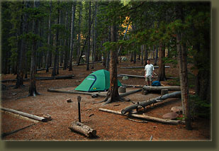
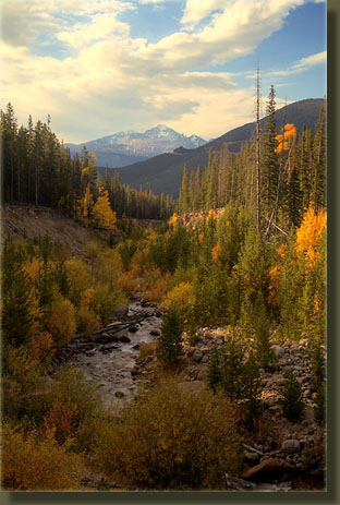
9-30-08 Tuesday My old hiking friend Dave was in for a visit from Hawaii, and we were lucky enough to get a stretch of summer-like weather for this trip. The sky was clear and blue, and the temperature in Estes Park was a phenomenal 72 degrees at 11AM. We stopped at the backcountry office and secured our permit, then zipped on into Rocky Mountain National Park to the Lawn Lake trailhead. Several minutes were spent divvying up the food and gear, and when we had everything packed for our two night trip, we locked the car and headed up the trail. The first portion of the trail also accesses Ypsilon Lake, which I’ve been to before, but the addition of deep yellow aspen leaves made the trail more interesting than before. Those bursts of yellow and orange really liven up the scenery and keep your eyes from spending too much time on your boots. We chose to camp at Cutbank since it was a lot lower than Lawn Lake, and thus we would be less exposed to sub-freezing night time temperatures, as well as the fact that it was only a couple miles in with heavy packs vs. the 7 miles to Lawn Lake. By 2:00 we had our packs off at the designated campsite, and began setting up the tent, hanging the food, rolling out sleep pads, and that sort of thing. The day was still bright and clear, and it was too early to just sit around ‘til dark, so off we went at 2:45 for Lawn Lake. Lawn Lake is a natural lake that was enlarged by a man-made dam in 1911, with the extra water storage used for irrigation out on the plains during the summer months. In July 1982, the dam broke, sending a wall of water 25 feet high down the Roaring River, carving out a deep channel, and depositing Volkswagen-sized boulders at the confluence with Fall River in Horseshoe Park. A backcountry camper was killed along the river, and two more campers died in Horseshoe Park. Estes Park flooded, hundreds of buildings were destroyed and only the Lake Estes dam saved the Big Thompson canyon from a similar fate. The trail up to Lawn Lake closely follows the scoured-channel of Roaring RIver, which still looks like an open wound to this day. The banks are very steep, usually too steep to allow foot access, and are barren of vegetation. Willow and aspen have begun to reclaim the river bottom, but it is still a little rough looking. After 4 miles, 2 hours and 1400’ vertical feet through lodgepole – fir forest, we arrived at the lake, noting the breached dam and the low waterline around the shore. Examining Lawn Lake on Google Earth gives you a good idea of what it looked like before the flood, as well as a view of the massive debris trail left by its passing. We sat on the southeast shore, admiring Hagues Peak, Mummy Mt and what we could see of Fairchild Mt, all backlit by a deep blue fall sky. Up to that point I wore only shorts and a tshirt, although with a brisk breeze coming off the lake from the west, I got a little chilly before we headed out. The hike back went quickly as it was all downhill, and we were back in camp in just a little over an hour. Sunset sneaks up on you this time of year, especially when camped in a narrow mountain valley, and we found ourselves cooking up burritos in dim light and dropping temperature. I fished a bottle of Coke out of Roaring River that I had sunk in earlier in the day, and we enjoyed dinner very much. After eating, we sipped hot apple cider, adding clothes as the temperature dropped until we were both wearing all that we had brought and the light had faded to the point of needing headlamps. Around 7:30 it was night in the valley, and we hung the food by flashlight and went to bed. I slept great. 10-1-08 Wednesday
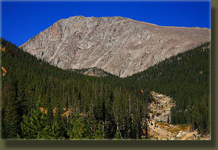
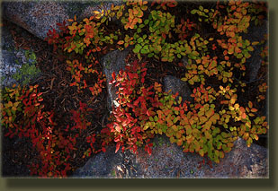
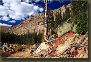
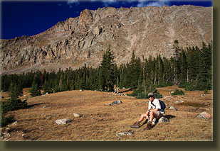
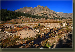
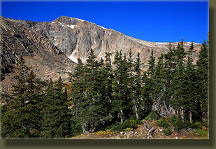
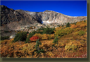
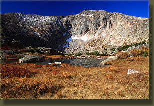
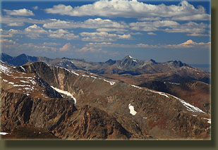
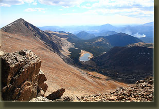
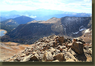
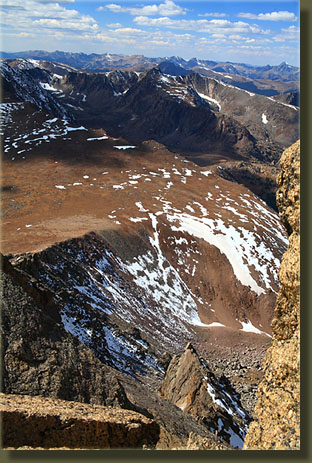
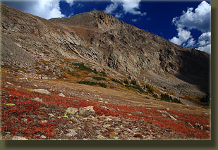
We retreated to the fork in the trail, which seems farther back towards Lawn Lake than it needs to be, and continued on the main route to the Saddle. This last section of the trail ran over alpine tundra and was crazy steep, rising at about a 30% grade, so we took it at a pretty slow pace. From this section of the trail, Hagues Peak looked deceptively close and short compared to Mummy Mt to the east and Fairchild Mt to the South; however, it also gave us an up-close glimpse at how difficult the hike up to the summit would be. From the Saddle we could see west to the Rawahs, and north to Mirror Lake. Hagues Peak stood with a jagged summit to the northeast, with a long, steep slope of jagged boulders between us and it. The wind was gusty, and I lost my hat twice, luckily not over the 1000-ft cliff to the west. We made slow progress up the steep slope of Hagues, picking our way through giant lichen-spattered boulders, until we had ascended over 1,000 ft from the Saddle. We made it very near the summit, and then were stymied by several challenging obstacles that, at least for us, marked the uppermost limit of our ascent, still some 100’ short of the summit at 12:30. I read later that this is Class 3-4 climbing to get up this section, and the consequence for a misstep is dire with exposure like this. It’s pretty unforgiving, and I should have read more on this route before we attempted it. Actually it probably would have helped had I read anything on this route, but the map made it look pretty easy, and sometimes one wants to try something without knowing exactly how it will turn out. Nevertheless, we got pretty close to the summit, and the view to the south, west and east wasn’t appreciably different than what we would’ve gotten on top. Mummy Mt sat in austere remoteness to the east, sending a wicked wall of broken and smashed granite down to the shores of Lawn Lake. Fairchild Mt sat to the south, covered with patchy snow, and to the southwest we could see the Cloud Peaks, Richtofen, Static and the Nokhu Crags. To the southeast, we could see Longs Peak, Mt Meeker and Twin Sisters, among others, though smoke from a prescribed burn obscured most detail of that portion of the park. Interestingly, from this perch, we had clear views of at least the 6 highest peaks in the park, and perhaps others…I haven’t really studied it much. As we descended, we saw two guys on the summit of Hagues who must have come up from the north side. A glance at the map shows this is a much easier route, and if I ever attempt it again, will have to try that one. The hike down was a long slog under partly cloudy skies with a stiff, intermittent wind. I stopped frequently for photographs, and Dave got well ahead of me as we neared Lawn Lake, where we stopped for a late lunch around 2:00. The fall colors around the lake in the midafternoon sun never ceased to hold the eye’s interest. By 2:30 we were back on the trail and heading down rapidly from Lawn Lake to camp, passing about 4 day hikers on their way up. We arrived at camp at 4:00. I took advantage of a long sunny spell to draw some water from the river with my bucket and sponge-bathe in the willows. What a great feeling! Dave did the same, and then we filtered water and began cooking Ramen noodles with canned chicken at 5:00. It sprinkled a little while we prepared dinner, and even thundered, but nothing much came of it. After dinner we made an instant Mocha-Mousse dessert and heated up water for hot cider. By the time we finished this lavish meal, it was past 6 and growing dark rapidly. We washed the dishes and hung the food, and were much more prepared for dark at 7:00 than we had been on the night before. By 7:15, just over 12 hours from getting out of it, we were back in the tent for what turned out to be a long, sleepless night of tossing and turning. I think maybe my legs were sore, so it was hard to get comfy. Whatever the reason, I woke up every 30 minutes to check the clock, hoping for morning to arrive quickly so I could get up and get moving. I think I need to consider taking sleeping pills along on my next trip to avoid another such miserable night. You'd think after hiking 13 miles and 4,000 vertical feet, I'd be tired enough to sleep well, but although my body felt fatigued, I just couldn't get very much shut eye. 10-2-08 Thursday
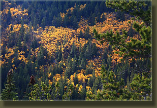
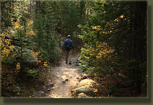
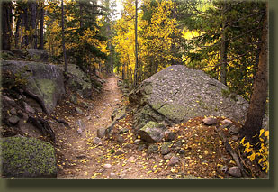
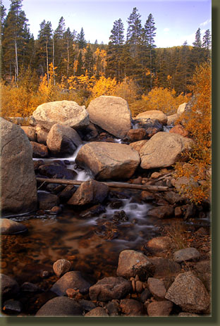
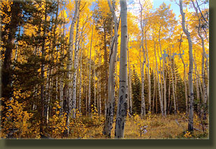
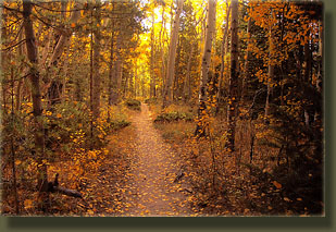
Once up, we packed our gear, and were on the trail by 8:15. It was 35 degrees out, but unlike the day before, the small slice of sky visible from the valley bottom was already partly cloudy. As we hiked lower, the air warmed up, and I removed warm layers bit by bit until I was back down to a T-shirt. The aspen along this stretch of trail were fabulously colorful, with brilliant yellow, orange and red leaves both in the trees and littering the trail. I stopped frequently for pictures, turning what should have been an hour walk into a 1.5 hour walk. We passed many hikers on the section of trail near the trailhead, and saw several groups fishing the Roaring River, trying to get those last Brown Trout of the season. At 9:45 we hit the parking lot, threw our gear in the car and headed on out. |
 |
 Comments |