|
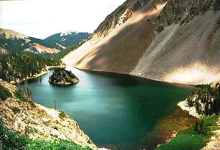
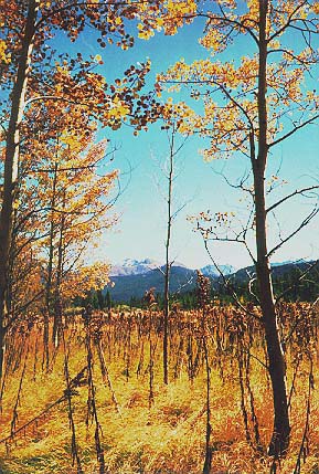
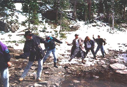
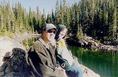
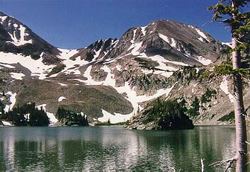
Location: Lake Agnes, Colorado State Forest, north-central Colorado Maps: USGS 7.5' Quad: Mt Richtofen; Trails Illustrated 1:59K: Rocky Mountain National Park #200 Access: From Ted's Place at the Poudre Canyon entrance, drive 60.1 miles west on Hwy 14 to the Crags/Lake Agnes turnoff just past Cameron Pass. At the first road fork, go right over a bridge and past a dumster. The road is rough and steep for about a mile. You'll pass the turnoff for the Crags campground, go right. Trailhead is at dead end of road. Driving time from Ft Collins is around 1:45. Trailhead: NAD83 zone 13 423489e 4482521n Elev: 10,290' Fees: $5/vehicle/day; $2/hiker/day if no car Trail: .5 mile one-way. Elevation gain of about 300 ft. Dog Regulations: 6' leash control Weather: Snow, temp and the all-important dew point from the NOAA National Weather Service forecast Lake Agnes is a glacial lake sitting high up on the continental divide around 10,000 ft inside Colorado State Forest. It gets it's first snow in September, and it melts sometime in July. I've camped at Lake Agnes 7 times since first visiting there with friends from band in September of 1995, right at the beginning of my college years. Seems like such a long time ago now. In all, I have been there four times with the Bruces of the CSU Marching band, once with Chuck, Rob, Jen and Mark, once with Andra, and once with Mike Mendez and his wife, Mandy. It is well worth revisiting. I've tried my hand at fishing for trout several times, but have as yet to show anything for it. Ah well, I always bring plenty of food anyway.
Overview of the lake from a peak
nearby. Lake Agnes is also called Lake Bruce by the
|