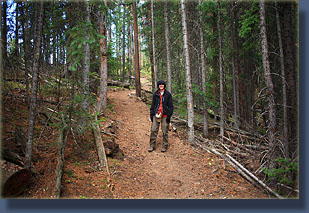
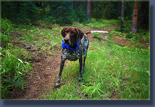
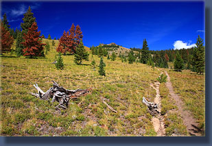
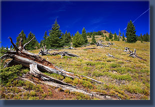
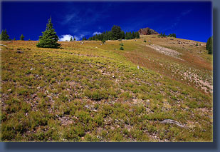
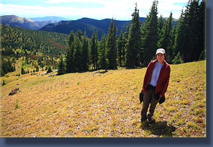
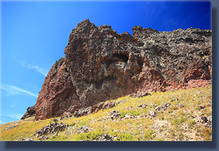
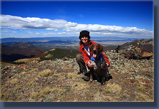
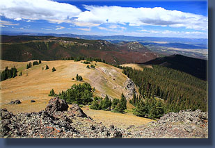
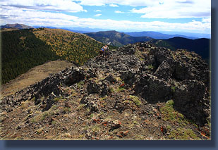
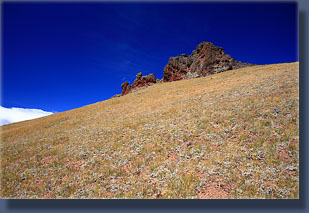
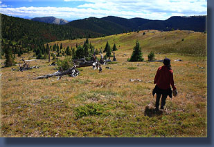
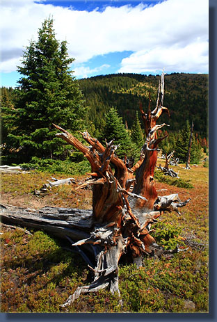
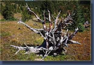
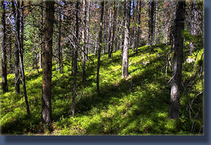
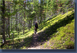
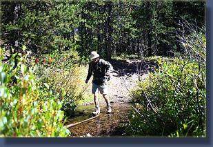
September 6, 2008 After a long 2.5 hour drive to the trailhead (this one is remote!), we put on our boots at the tailgate under a cloudy sky. The forecast called for partly cloudy skies, but it looked more like rain to me. Since hunting season had begun, I donated my blue bandana for Andra to tie around Makenzie’s neck. She doesn’t look much like a deer, but it pays to be careful. We got started around 9:40. The first little stretch of trail led through dense woods of spruce and pine, but then we hit the road again. My USGS map showed very little of the reality here as it indicated the road ended at the trailhead, which it clearly does not. We crossed the road, and continued on the trail. The slight uphill climb of the trail was almost unnoticeable, and we walked briskly in the 43-degree morning air. Makenzie raced ahead of us, and found the first water source well before we arrived. The trail followed to the east of the Middle Fork Arapaho Creek, heading south through pine-spruce forest. Many of the pine trees were dead, with red needles standing out starkly on the hillsides, from the bark beetle epidemic that is likely to wipe out most of the lodgepole pines in the state of Colorado within the next decade. The infestation here was heavy, but most of the pine trees were still green. After 45 minutes of walking, the sun came out from behind a solid bank of clouds to the east. What a difference sunshine makes on my outlook while hiking. Everything seemed to get a little nicer at that point. The undergrowth was lush with whortleberry, and the slanting shadows of pine trees through the green understory was beautiful. We reached a clearing, and Makenzie was the first to notice the hunter snoozing on the grass next to the creek. She quietly backed off and eyed him suspiciously. We walked on by, and had walked completely past him before he opened his eyes and noticed us. He talked with us briefly, and I think he was disappointed to see us there, hoping perhaps to have the trail undisturbed by hikers so the wildlife would be close by. I think he got most of his desire since we were the only other people on the trail all day. We parted, and walked on up the path. Several stream crossings came and went, and we managed to get across all without getting our boot tops wet. Makenzie made sure to get as wet as possible at every opportunity. After about 3.5 miles, the trail turned east, and headed uphill at a much steeper grade, following a curved draw that leads up to Hyannis Peak. The forest canopy opened up, and the hillsides were exposed. Makenzie took to digging fiercely at the humps of loose soil left by industrious gophers, which may or may not have even been in the vicinity. The sunshine was still with us, and on the lee side of the mountain, it felt nice and warm, even though it was perhaps only in the 60’s. We stopped for a snack in the sunshine off the trail, while Makenzie searched for and brought us various rocks that we might throw for her to retrieve. It’s a game that she never tires of. A little further up the trail, as it continued to curve to the north, the summit of Hyannis Peak came into view as two small craggy lumps atop a massive swell largely free of trees. We followed the trail up higher until it turned to the east again and lost elevation as it crossed the large draw we were following. At this point, we left the trail and made our way up the steep slope towards the summit. Clouds were racing overhead, and we could hear the wind whistling in the valley below, but we were still largely protected from it by the mountain we were walking up. Giant logs lay everywhere, roots pointing heavenward, remnants of some major fire untold years ago. Andra pointed out that even the pits created by the toppling trees’ roots had filled in smoothly and were completely covered with grass. We zig-zagged up the hillside, and made our way to the east side of the nearest craggy outcropping. The grassy tundra of the slope gave way to a rocky, sandy slide, and I fell once on a dislodged rock and pulled a muscle in my leg. We continued on, carefully, until we reached the solid volcanic rock tip of the peak. We walked on up, only to discover that the real summit lay another 50 yards to the northwest. No problem, we walked on up, and easily made it to the top. Views were stupendous in all directions; however, the wind was so biting that we didn’t stay more than a minute before retreating back to the southeast side where the wind was not so bad. A few minutes later and we were on our way down via a different draw. Halfway back to the trail we stopped for lunch, resting against one of the massive bleached pine trunks that littered the hillside. The wind was still cold, but better because of the ridge to the west of us. We continued down under clouds that raced overhead like airplanes to the trail, and then ever downward into warmer conditions. Right around where the trail meets the creek, we ran into the hunter again, who had been slowly making his way under a magnificently-large pack towards the summit. We talked a little more with him before heading on down. The hike became a rhythmic exercise, and I got pretty drowsy. I suggested we pull off the trail next to the creek, and we found a nice grassy area, partly shaded by pines, where we laid down in the soft grass and snoozed for about 20 minutes. Even Makenzie closed her eyes and napped. We lounged about another 15 minutes before hitting the trail again. As with almost every hike, the length of the return trip seemed to be inexplicably longer than the hike in. Yet the day was so exceedingly pleasant, the sunshine so warm and colorful that I didn’t feel anxious at all for the trip to end. But, eventually, it did. We crossed the road, and followed the trail another 200 yards to the parking lot where our car awaited us to drive us back to Walden, and then home. |
 |
