

| Location:
Rocky Mountain National Park, northern Colorado
Map: 1:24K USGS quad: McHenry Peak Access: From Interstate 25, take Highway 34 through Loveland and Estes Park to the Beaver Meadows entrance. Just beyond the entrance gate, turn south on Bear Lake Rd and drive 9 miles to the terminal parking lot, or in summer, take a shuttle from the shuttle lot 5 miles up Bear Lake Rd. Fees (2008): $20 7-day park pass; $35 annual park pass; $80 annual Federal public lands pass Dogs: No dogs allowed Fees: $20 daily vehicle pass or $35 annual vehicle pass Webcam: 8 miles northeast in Estes Park Weather: Current conditions Local Forecast October 5, 2008 All the preceding day
and night it rained lightly, so it is with surprise that we open the curtain
of our Estes Park condo rental on Sunday morning to see fresh, white sunlight
streaming in. We shower, eat bagels for breakfast, toss our overnight bags
in the car, and are checked out of our room by 9:30, driving up Fall River
Road into the park to find something to hike. This weekend is Elkfest,
which I thought nothing of initially, but it means that 10,000 additional
people have flooded into Estes Park to see the fall elk rut. As we drive
into the park, people are already set up with folding chairs along the
roadside that countours around Horseshoe Park, waiting for the elk to make
their appearance, even though they may have to wait 5 or 6 hours.
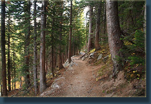
We head up the trail,
which is actually paved, sort of, with black asphalt that is warping and
breaking off in chunks. Spruce and fir line the wide trail, and sunlight
streams in through the conifers to lay dappled patterns on the forest floor.
Whortleberry is everywhere, caught at various stages of its seasonal turn
from green to red to orange to yellow. We pass several hikers on the trail.
It is cool, but not unpleasantly so, perhaps 55 degrees. With the sun out,
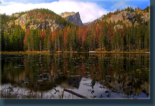
it feels pretty nice. We arrive at Nymph Lake, which is shallow pond
covered with lily pads, and I take a few snapshots before we move on, heading
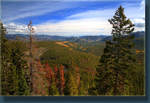
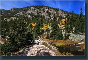
uphill towards Dream Lake. The trail winds through aspen and lodgepole
pine, many of which are bright red and dying from mountain pine beetle.
Andra and I hiked this route before to Dream Lake, but in March through
thick, packed snow. It looks a lot different now.
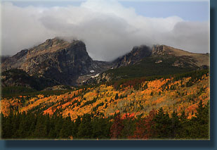
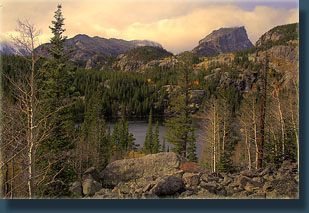
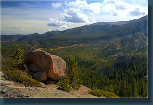
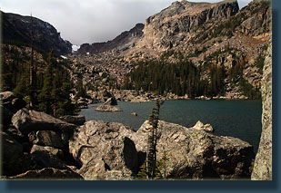
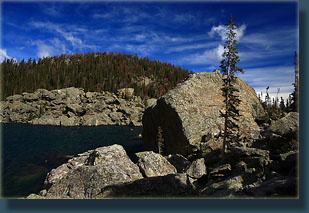
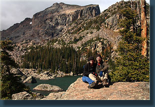
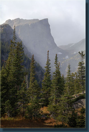
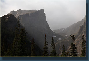
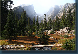
While rock hopping around the lake, I’ve apparently reinjured my foot that has been hurting all week, and the walk downhill is slower than usual. We stop frequently to admire the cloud-crowned summit of Longs Peak, and the yellowing aspen along the trail, farther behind the grove we visited near Bear Lake in leaf-drop. At Dream Lake, we stop and admire the coming snow squall spilling over the divide and into the canyon, heading right for us. We move on, staying just ahead of it. At the parking lot, we see Doc again, and we talk about the hike, and he gives us a few good suggestions for hikes on the west side which I will need to try next year. We drive east, staying ahead of the snow but not the rain as it pelts us all the way down the canyon to Loveland. |
 |
 Comments |