Greeter Falls
and Blue Hole
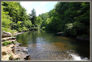
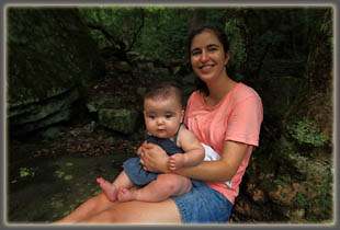
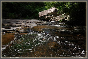
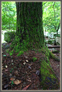
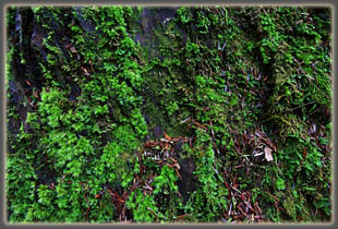
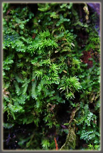
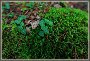
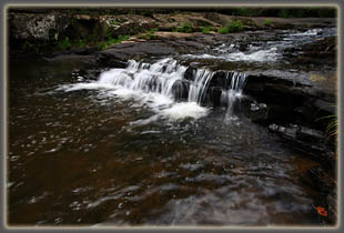
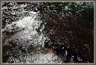
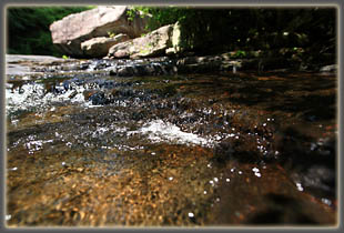
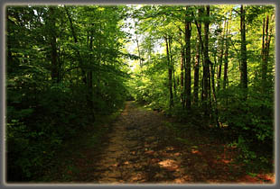
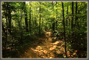
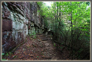
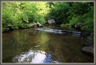
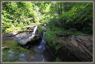
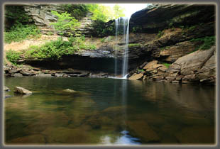
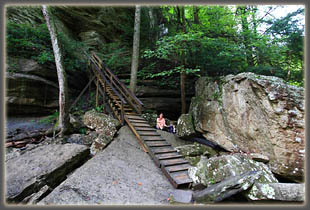
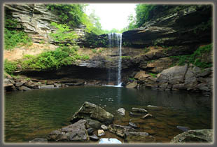
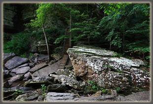
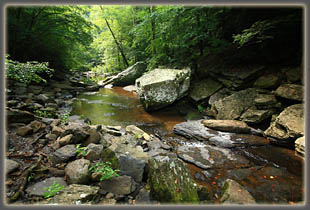
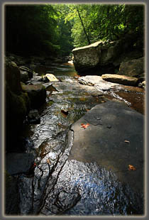
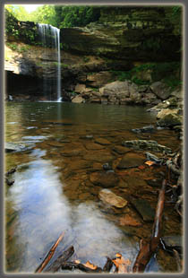
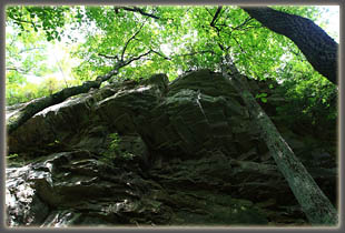
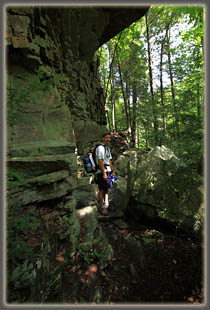
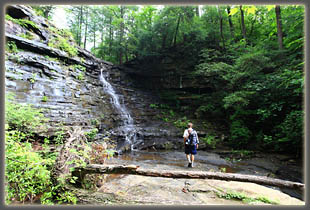
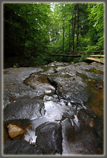
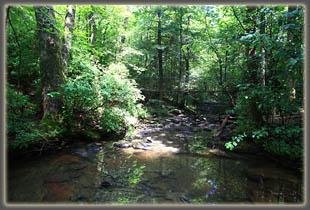
August 1, 2010 Itís a nice cool morning and Andra, Ada and I are taking in the wet forest of the Cumberland Plateau as we walk south towards Greeter Falls. The forest is really wet here, and itís hovering at 100% humidity. The trees drip water, though itís not raining. Massive hemlocks and tuliptrees tower overhead, while dark-green rhododendrons with gnarled brown trunks fill out the understory. We take a side trip to the Greeter Homesite, where all that remains is a rock basement foundation and a well. I surmise this was once a cabin belonging to the Greeters, but little remains now. What a small place to live in! The trail is well-marked and pleasant, and soon we are at the split of the loop where we decide to head to the right and take in Greeter Falls first. This portion of the trail is a bit steep and I take extra care with Ada in the pack on my back. It wouldnít do to take a spill now. Carefully, I pick my way down amongst the shaded, slick rocks to the upper falls, where I set the pack down and walk out to the top of upper Greeter Falls and enjoy the spectacle of a thin film of water running over a flat limestone shelf towards the drop. It isnít easy to go more than 30 feet without getting my sneakers wet, so I return and Andra checks it out while I wait with curious, staring baby. We head down to the lower falls, which is an adventuresome climb down a metal spiral staircase into a vertical-walled canyon of blocky limestone. More stairs, and then a sort of ramp made of wooden slats with wooden crossbeams for traction. The wood is slick as snot, and I have to put Ada down before continuing with the aid of both hands down the wooden ramp. At the edge of the plunge pool, Greeter Falls runs over the cliff above about 40 feet up (Iím estimating), and though itís dry this time of year, thereís still a fair amount of water coming over the edge. I canít wait to come back and check it out in the spring! I kick around the edge of the plunge pool, snapping a few photographs, and check out the view of Firescald Creek downstream, where overhanging maples and hemlock boughs shade the glassy water flowing among the dark rocks. When I return to where Ada and Andra are sitting, I take over Ada-watching while Andra checks out the area in turn. This is our drill now that Ada hikes with us. We head back up the spiral staircase and rejoin the trail, enjoying the slight drop in humidity that comes with leaving the deep gorge. Continuing on, the trail takes us along the base of an overhanging limestone cliff, which is really very cool. Moss covers the trees, and ferns abound amongst the rhododendrons. This is one of the nicest spots Iíve come across so far in the middle Tennessee area, though admittedly, Iíve got lots more to see. Before long weíre at Boardtree Falls, and we take a little social trail down to the upper falls plunge area, which is partially submerged under water, but with enough bare rock showing to skip along to the base of the falls. Again, dry season flow is low, and Iím sure this falls is incredible in the spring. Iíll definitely come back to see it then. After downing some water, we head up to the top of the falls, where the trail splits, one way to Allum Gap and the Stone Door Ranger Station, the other back to the parking area where are car awaits. We take that route, and quickly return to the sign for Blue Hole. Itís been such a short trip that we decide to go see what Blue Hole is, since neither of us have heard of it. The ½-mile to Blue Hole is a nice trail through more thick forest of maples, tuliptrees and hemlock, with some very large hollies mixed in. Blue Hole itself is a wide pool in Firescald Creek, not particularly impressive as a sight, but obviously a nice swimming hole with plenty of flat rocks along the bank. Weíre alone at the creekside, where running water sluices over bare rock into Blue Hole, and we stop to enjoy the sound of the water, and have a snack. A single hiker comes and goes while were are there, and we donít see him again. The hike back is pretty swift, and by 11:30 weíre back at the car, where the parking lot has attracted a number of additional vehicles, most of them with people just starting out on the trail with swimming gear on, presumably heading to Blue Hole for a dip.
|
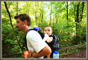
Sam and Ada on the trail
|
