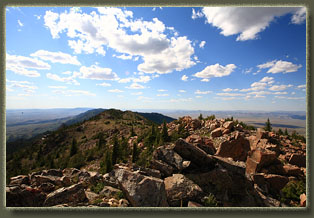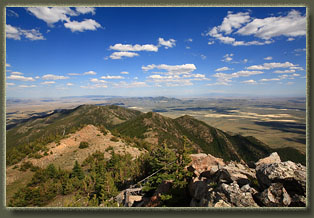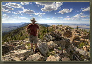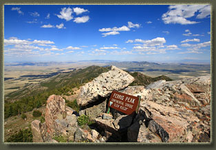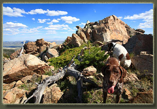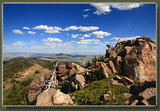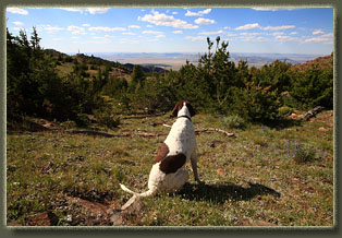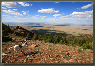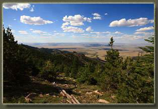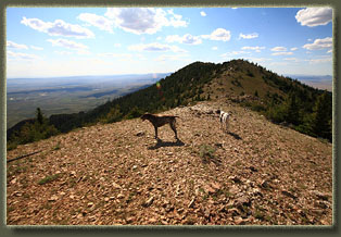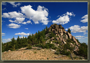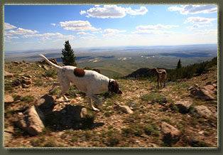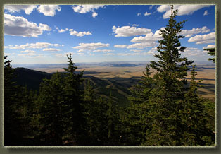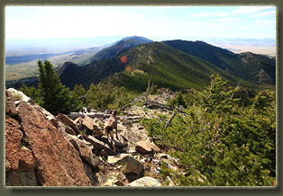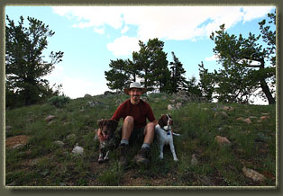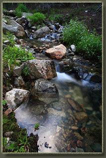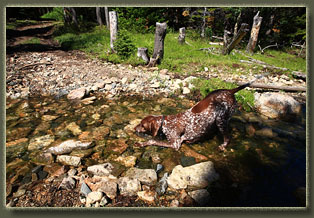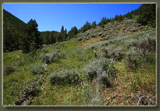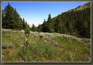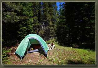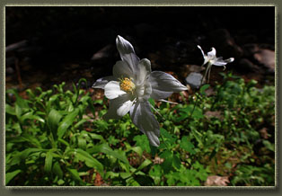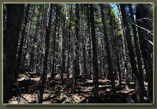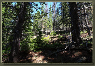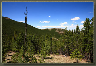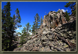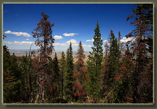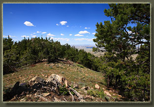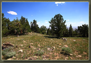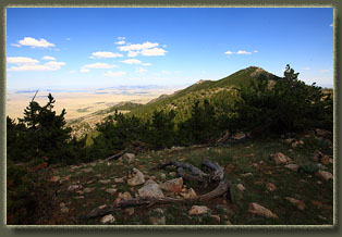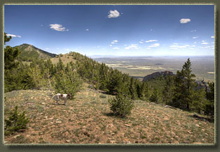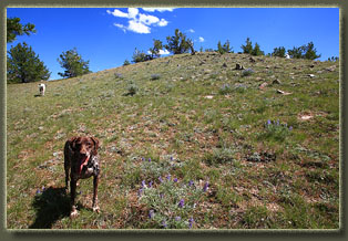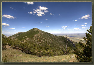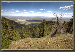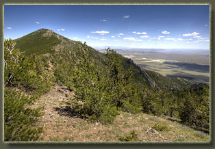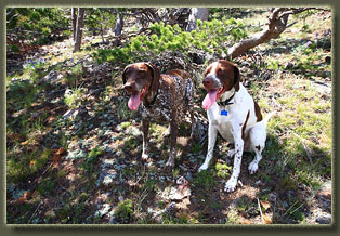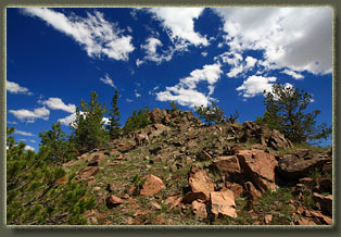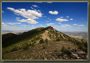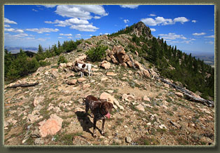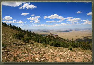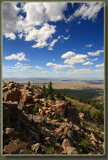
July 23, 2011 The color of drying rangeland is hard to describe. Itís a little yellow, a little orange, kind of tan and faded all over, like an old film. Tawny. The terrain north of Rawlins was drier than I expected, given the constant rain weíd been getting just a couple hours to the east, but then, weíre on the other side of the Snowy Range, and orographic lift provides the power for the thunderstorms that have kept Cheyenne green. Here in the Red Desert, itís pretty dry as I rumble south along the 2-track into the welcoming arms of the Ferris Mountains, a desert oasis of green conifers stretched out on a long hump of rock from east to west. The Ferris Mountains are formed by two spines of rock that jut together at Youngs Pass, but from afar, it appears to be a range of singular nature. The dominant feature of this range is the white chevrons of granite that sit side by side along the entire southwest face of the mountains, visible and highly memorable from most points along Hwy 287 from Rawlins to Muddy Gap. Makenzie and Henry are panting in the backseat. They sleep the entire drive while on the highway, but as soon as we pull onto dirt roads, they perk up and begin pacing, panting, whining. I stop the car at an overlook above Pete Creek and let them romp around in the short sagebrush, as I can take their frantic panting no more. In the far distance, pronghorn watch cautiously, but the dogs never notice. And even if they did, no domestic dog can catch a healthy adult pronghorn, and probably thereís not many could catch a baby pronghorn, for that matter. Pronghorn are the fastest animals on legs in North America, and theyíre very fun to watch scoot across the range. I pull off the two track where the road takes a turn to the east near Pete Creek. A WSA sign confirms Iím at the right place. I throw my pack on, lock the car doors (hope youíre still here when I get here again, buddy) and off we go, crossing Pete Creek straight-away and following a faint cowpath up the west side of the creek. Though the range beyond is dusty and composed almost exclusively of tawny grass, sagebrush and bare soil, the forest that springs up like magic on the slopes of these mountains is so incongruous in its alpine nature that it still makes me stop and wonder how it even exists. Where does the water come from to sustain all that green when all the range beyond, as far as the eye can see, is brown and dessicated? The trees like the water here, and are thick. Consequently, the going is slow, and my pack is constantly grabbed by low-hanging branches that cows, and the dogs, miss entirely. I keep close to the creek, and am encouraged by the robust flow of clear water. Itís about 80 degrees and Iím sweating pretty good, dodging and crashing through the pines and juniper. Sometimes I catch a glimpse of the slopes beyond the limber pine thickets Iím wading through: to the east I see an unbroken slope of pines, and to the west I see grass and sagebrush. As we ascend higher the forest diversifies: lodgepole pine, white fir and Douglas fir become pretty common, though it still seems like the limber pine dominates the list. Rocky Mt maple, willow and aspen line the riparian corridor, sprinkled with solid-white columbines and yellow flowers Iíve never seen before. I get so many spiderwebs in my face while walking I begin to think a great alternative name for this range might be spider mountains. Sounds too sinister, though, given spidersí general reputation. Up we go, higher and higher, until the creek is noticeably less full. The water column narrows and the trees thicken. As we near the headwaters of Pete Creek, I keep an eye peeled for flat ground, and settle on a nice spot east of the creek to set up the tent. After unpacking sleep gear and hanging food, weíre off again to find Ferris Peak. Itís around 12:45 when we start, and itís hot. I stop as we reach the uppermost extent of water in the creek to filter a fresh bottle and encourage the dogs to tank up by sitting down next to the water. They do. I use my GPS to navigate the best way up the slope towards the ridgeline. This operation could be done with a map and compass, but though I have both, I simply use the GPS. Easier. We reached the ridgeline at a point 9600í above sea level after some fairly strenuous hiking through rough terrain with lots of downed timber. However, once we get to the ridge, the terrain is more open, though still rocky, and provides at least the sense of real progress. At the very least, it becomes very obvious where we areheaded. We follow the narrow, open ridge to the east. The wind rips up from plains to the south, and I have to hold my had on my head even with a chin strap. Once the wind yanks my hat off my head, chinstrap notwithstanding. Luckily, the wind dies down to nothing just 20 or 30 feet down the lee side of the ridge, so once my hat lands, it lays perfectly still until I retrieve it. We pass an old mine, caved in, that is surrounded by bright green-flecked rocks. It looks like turquoise, but I donít think thatís what it is. Perhaps someday Iíll find out. I reach a point Iíve been hiking for with the thought that it's the summit, only to see that the true summit sits smugly another half-mile beyond. Makenzie and Henry are panting madly, and it's pretty warm, even at 9600í. We stop and had water before moving on. The terrain is very rocky around the summit, and because of the steepness of it, I leave the dogs down below while I take the last 30 feet to the summit, arriving at 4:30. To my surprise, there is a summit log and a big BLM sign that gives the peakís name and elevation. No doubt we are here. Two USGS markers are pegged into the summit rock. I check the summit register to see that I am the 3rd hiker to sign this year. Not the most popular peak, but moreso than I thought, given the remoteness of it. Being so isolated, the view from Ferris Peak is spectacular in its extent. I can see Elk Mountain and the Snowy Range to the SE, the Rattlesnake Hills to the north, Casper Mt to the east and the Wind River Mts to the west. Looking aslant at them, I can see that the white chevrons that are so iconic of the Ferris range are actually fins of rock that stand out from the mountain face. I had always thought the white stripes were just bands within the slope of the mountain, but this is not the case. On the way down I simply follow Makenzie as she unerringly retraces our exact route, even down to needing help over the same big logs that I had lifted her over on ascent. Henry lags behind, clearly fatigued. I test Makenzie some with my GPS, and confirm that she is following our track perfectly. In some cases where the path differs, I feel it likely that Makenzie is more accurate than the GPS. Who needs GPS when you have a GSP? Near camp, passing over a floating mat of riparian vegetation below a spring along Peteís Creek, my foot breaks through into the black muck below, all the way up to my thigh. I pull my leg out to the sound of a sickly slurp, and move on, stepping deeply into the creek water to rinse off my leg. When we arrive at camp I strip down and wash up with freezing creek water in a little bucket, scrubbing not only the mud off my legs, but the sweat and salt that coats everything else. After the brisk flush of cold, I feel great. Dinner is Ramen noodles cooked
over a white gas stove. I sit on a nice flat rock right next to Pete Creek
and enjoy it leisurely to the sound of a quiet forest. The dogs munch kibble,
and after dinner, we pile into the tent pretty early, around 7:30. Tiring
day. Sleep comes quickly.
July 24
The hike down is very quick, taking only half the time as the hike up. Makenzie leads me without trouble right back to the car, where I am shocked to see three other cars parked next to mine. Turns out they are members of the Biodiversity Conservation Alliance, taking a field trip to check out the wonders of the Ferris Mts. We chat for awhile before I hop in the car, headed for home, cell phone service, grocery stores and my 40-hour workweek. |
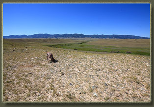
Makenzie on the plains north of the Ferris Mts 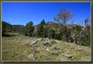
Entering the forest near Pete Creek
|
