

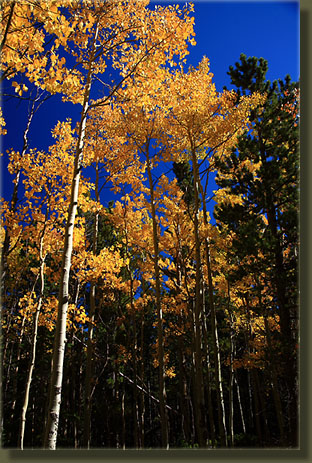
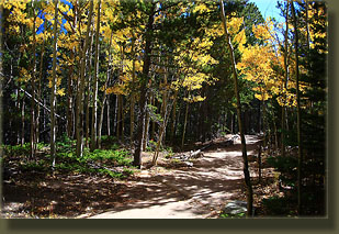
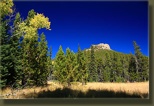
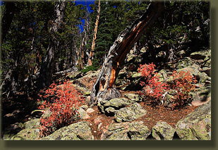
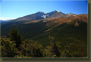
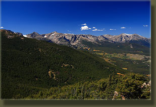
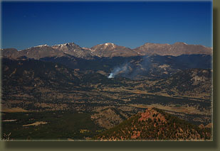
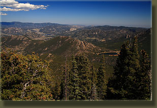
9-25-08 Immediately following my hike back from Chasm Lake, I decided it was much too nice a day to simply head home. The sun was shining brightly and the bright yellow aspen dotting the mountains was irresistible. So, I simply repacked some day hiking essentials from my overnight pack into my small daypack, and off the trail I went, starting about 11:30. Initially I retraced the trail I had just come down, heading uphill through lodgepole pine and aspen on a wide, rocky trail. The trails in Rocky Mountain National Park are impeccably maintained, and this one is no exception. At 0.5 miles, I reached the turnoff for Stormy Pass and turned right to begin heading north. I stopped frequently to photograph the woods in their fall color, but kept up a brisk pace while walking. I felt really good, despite a sore throat that portended a cold and having already hiked 7 miles since morning. The temperature rose steadily under the bright fall sun, and soon it was near 70. My brow was dripping sweat, and I wiped it intermittently with a blue handkerchief. The trail rose up a little, then descended, repeating this pattern over and over, never gaining or losing much elevation. In a short while, I reached Eugena Mine, an abandoned gold-mining operation from the early 1900ís. I took a short walk around to look at the ruins, but really didnít see much of interest, so I plodded on. After a wide curve out to the east in the trail through an open meadow with nice views of Estes Cone, I came to another junction which offered to lead to the right towards private property, or left to Storm Pass. I went left, and began heading immediately uphill at a steep grade towards the pass. I think fall is the best season for hiking. The air is dry and cool, the trail is usually dry and the forest that is green for 11 months a year turns all shades of yellow, orange and red in addition to the solemn green of the pines. Also, the summer crowds are gone, and trails are often lonely and quiet. I pursued my shadow up the hill until I came to a junction with the Estes Cone trail. A man was standing at the junction, waiting for his wife to join him at the top of the hill. I said hello to him and his wife, and headed right up the hill towards the summit of Estes Cone. This last section of the trail started steep, and got steeper. I donít know of any other trail in the park this steep. Many times I was using my hands to help haul myself up the trail, which was faint and marked with cairns. I climbed with the sound of my heart thudding in my ears, and sweat dripping off my nose. I noticed unusually large amounts of litter on the trail, and wondered who had decided it was OK to cast off their water bottles and granola bar wrappers onto and adjacent to the trail. As I headed higher, I found out: a group of about 20 elementary school students were being herded to the top by two men. I approached and passed the group, and thus made it to the summit about 10 minutes before they did. The fact that twenty 10-year olds made it to the top should give you an indication of the difficulty of this trail. Itís pretty easy, but the last ½ mile or so is really steep and may take some people a while to tackle. I took advantage of having the summit to myself and walked east on the flat top to where I could get a nice view of Estes Park and the Twin Sisters. Nothing to disappoint about the view. The air was clear and the panorama to the north, east and south was almost uninterrupted. The summit is exposed and a little scary, what with 20-foot cliffs on all sides leading to broken rocks below. I took photographs and sat in the silence sipping water. Before long, I heard the dull roar created by a group of hyper kids approaching, and I took my leave as they arrived. The hike down went much quicker than the hike up, owing to the steepness factor. I encountered the man and his wife I had seen at the trail junction, slowly laboring their way uphill. I retraced my route all the way back to the car, arriving at 2:30. |
 |
 Comments |