Ellicott Rock
Wilderness - Chattooga River
View Larger Map 4-2-11
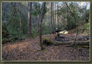
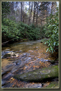
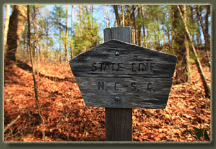
I hit a nice rhythm and hiked on without stopping for 2.5 hours when I reached Bad Creek, and a nice flat campsite nestled in among a forest of rhododendrons. I was feeling primed to keep walking, but the sun was sinking lower, it was almost 6:00, and there was no mapped water until the Chattooga River, so I decided to make it home for the night. Although I had started off in South Carolina, this campsite was firmly on the North Carolina side of the border. I unfurled my small tent, sleeping pad and bag, some clothing and got my stove ready. It was 55 degrees as the sun sank orange through the trees and the fire pit looked tempting, so I gathered some wood and started a small blaze with one match…that hardly every happens. Gnats swarmed my face, but didn’t seem to bite, so I ignored them. I cooked up some ramen noodles, wolfed them down and chased it with a chocolate granola bar. I sat by the fire, alternately watching the mesmerizing flames and reading my book, The Life of Pi, until I found I could no longer easily read the words. At 8:20 I fetched my headlamp and continued reading by the fire for half an hour until the flames died out and I dampened the coals. I hopped in the tent around 9:00 and it had dropped to 45 degrees. I slept poorly, tossing and turning trying to keep warm. 4-3-11
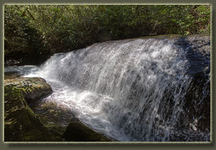
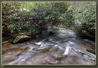
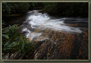
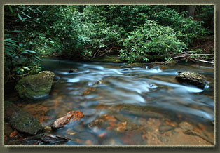
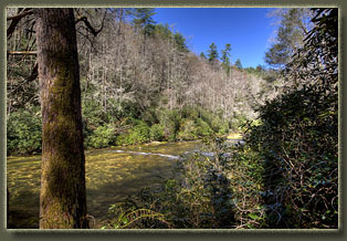
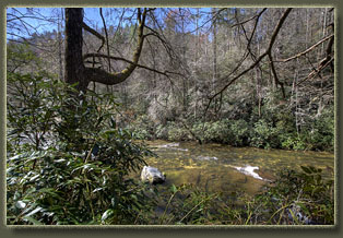
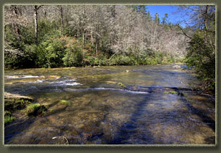
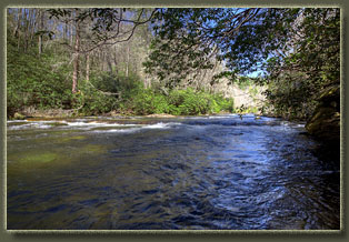
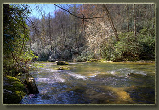
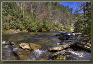
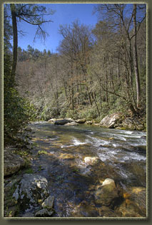
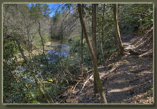
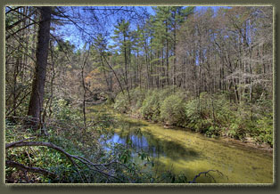
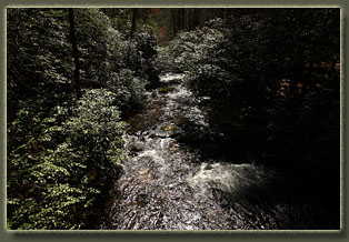
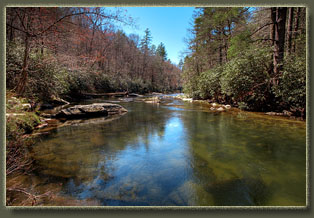
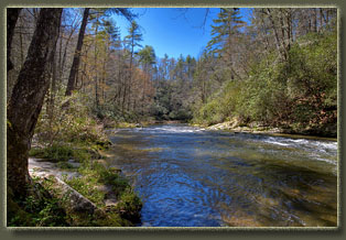
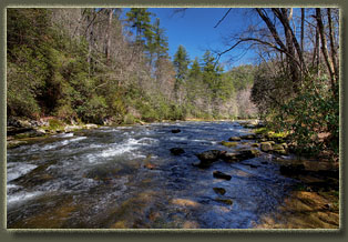
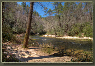
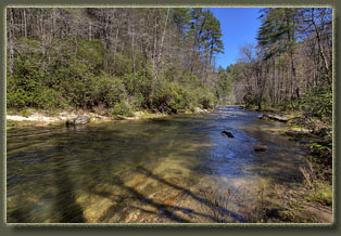
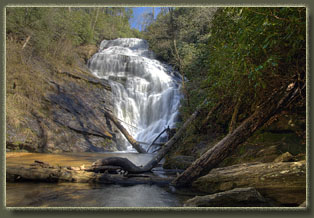
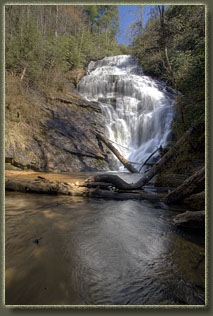
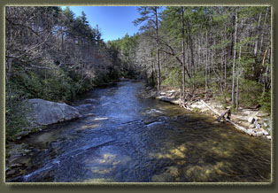
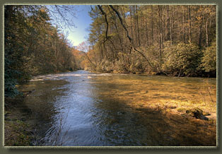
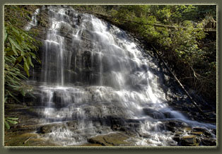
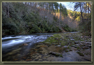
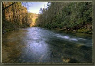
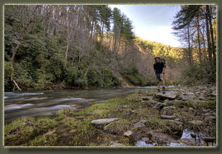
The morning was clear, calm and very nice. A chorus of small birds tweeted and kippered among the shrubs, cementing the feeling of spring. In the distance, a murder of crows was carrying on raucously about something. The cool air was a blessing once I got going around 10:00, keeping me cool and energized as I descended to the Hill Pen Rd junction and beyond to the banks of the clear rushing waters of the roaring Chattooga River, the river that forms the border between Georgia and South Carolina in these parts. There’s a really nice campsite right where the trail meets the river, and a group of backpackers were packing up camp as I cruised through. Just beyond, I stopped at a particularly nice cluster of flat rocks that jutted out into the river, just off the trail. In the shade of the dense mountain laurel, I had a snack and sipped water, enjoying the whisper of the water sliding by the rocks on shore. The Chattooga Trail, which I had started down when I reached the river, is a low-clearance operation: my frame pack that sits just below my head was constantly catching on the low-hanging mountain laurel branches, even when I ducked down to avoid them. At 12:30 I stopped for lunch at a nice bend in the river that had a sandy beach and a well-used campsite just above the East Fork of the Chattooga River. I sat on the smooth rocks along the bank and ate jerky, cheese and crackers in the sun, then read for awhile. Soon, a few hikers showed up and sat nearby to eat their lunches, and shortly after, two anglers showed up to fish just offshore. Sensing my personal space shrinking in a land with an abundance of it, I loaded up and headed on down the trail. The day remained very pleasant and sunny, and I could tell I was nearing a trailhead by the increased dayhiker traffic coming my way, as well as the increasing density of large tents along the river. When the Foothills Connector Trail came up, I left the river and headed uphill into the less-traveled area away from the water. I made camp at 2:00 next to the last water crossing before the Foothills Trail junction, in a nice flat area near a small creek under a few giant pine trees. I filtered water from the small unnamed creek and startled a firebelly newt, who swam off with surprising swiftness. I took off my boots and sat leaned up against the pine tree, sipping cold stream water and reading, until I began to feel very drowsy. I put my boots back on, grabbed my camera and a few essentials into my pack, and hiked down the trail to King Creek Falls, crossing the gravel Burrells Ford Rd along the way. About a dozen dayhikers were on the trail from the nearby trailhead, but when I got to the falls themselves, there was no one about. It’s a nice waterfall, both tall and voluminous. Worth the hike, definitely. I retraced my steps to Burrells Ford Rd, and just for grins, walked the quarter mile downhill to the river, and crossed over into Georgia by way of the bridge, ticking off my third state in one day of hiking. I returned to camp by way of the Chattooga River Trail, completing a 4.5-mile loop around 5:30. The day was still warm and calm, and gnats were out in profusion, but I’ll take gnats over mosquitoes or black flies anyday. I prepared a no-cook meal of canned chicken, cheese, crackers, cashews, a cookie, peanut M&M’s and water: an omnivore’s delight. By 6:30 it was dimming in the woods, and I built a small fire in the firepit, which I enjoyed as if it were TV until around 8:45 when I finally put it out and went to bed. The night was much warmer than previous, so I slept much, much better. 4-4-11
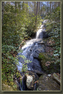
After lunch, I took only essentials with me on a dayhike to Grassy Knob, a feature along the Foothills Trail east of SC107 that drew my attention. I love bald mountains, so I didn’t want to miss this one. This hike took me right past my car, so I stopped and exchanged socks, shirt and shoes before continuing on across the road and up the trail. I was able to hike more quickly without my overnight pack, and I felt very good. The first day of backpacking is often filled with aches and soreness, but by the second or third day, I always feel my best. By 3:30 I was on top of Grassy Knob, which, contrary to its name, has no grass at all on top, and is not a bald peak at all as I had presumed. With a name like Grassy Knob, I pictured a grassy bald….not so. I hung out at the summit for a while, enjoying the semi-view through the still-dormant hardwoods that covered the mountain. Clouds rolled in, diminishing the blue of the sky for the first time all trip. After a quick hike back to camp, I took a sponge bath, changed clothes, and visited the fantastic waterfalls several hundred yards down the trail. While I was down at the falls, the first of the thunderstorms arrived. I hustled back to camp and jumped in the tent, pulling my pack under the vestibule after me and zipping it down to the ground. I waited out the rain with my book in comfort, and when it was over, I got out and cooked dinner of ramen noodles, with a side of cheese and crackers. I had lots of trouble with the stove jet clogging up, an effect of using cheaper WalMart white gas. After 20 minutes of disassembling and cleaning the stove jet, I was back in business, boiling noodles and then slurping them down. The smell of rain and damp bark hung in the air, and it reminded me of Washington. I guess wet forests smell the same no matter where they are. Thunder rolled across the sky and flashes of lightening became ever-more distracting as the light faded with sunset. I elected not to have a fire, but instead hopped in the tent around 8:00 and read before slipping off to sleep. The rain came hard at 10:15 as part of a violent thunderstorm that fired lightening off at a frantic pace. I felt pretty secure in my location, but I was a bit nervous about yonder giant dead hemlock tree and high winds. Couldn’t be helped: In these woods it’s impossible to camp away from a large tree, living or dead, that could conceivably blow over in a storm. I played the odds that the dead hemlock wouldn’t fall down on this particular night, and that worked out OK this time. Another round of thunderstorms cruised through around midnight, sending rain down so hard that I couldn’t hear raindrops anymore, only a constant hiss like white noise as the millions of drop pelted my tiny tent. Still, I kept dry, and aside from the noise of the storm, I was very comfortable all night long. In the morning it was damp and 40 degrees. The sky was blue, but with low, wet clouds streaking eastward like a fleet of ships late for shore leave. Almost everything in the tent was dry, but my pack was very wet. I packed up the tent wet (and my hands burned from the cold) and had a quick Clif Bar breakfast. While eating, sleet fell and made a scratchy sound on the forest floor litter, almost like radio static, and my hands were buried in my jacket pockets as much as possible to thaw them out. What a striking turn of weather! I left camp at 8:30, and
reached the car in minutes. After stowing my gear and getting my front
seat essentials into the front seat, I left the trailhead at 9:00, heading
south.
|
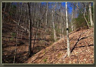
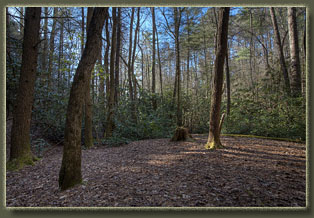
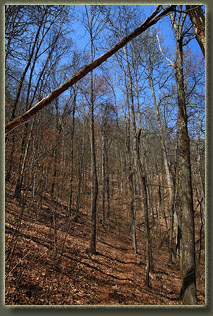
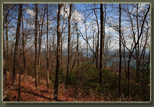
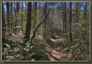
Fork Mt Trail, typical scenery 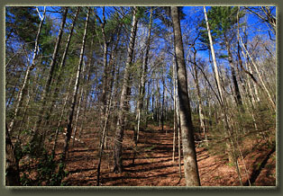
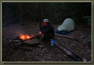
In camp, night one, on the Fork Mt Trail
|
