Location: Rocky Mt
National Park, Colorado
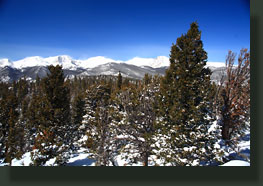
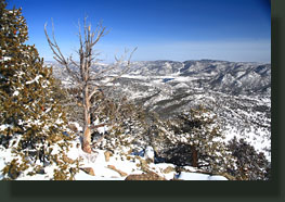
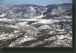
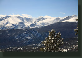
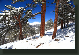
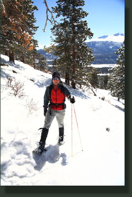
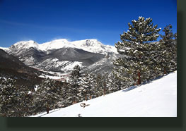
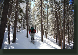
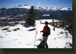
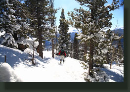
March 20, 2010 After a fresh dumping of spring snow, Mike and I began our hike on a sunny midday from the Deer Mt TH near the junction of Hwys 34 and 36 at around 12:45. Wet, sticky snow clung to the pine needles, drooping down branches pendulously towards the smooth, undulating heaps of white coating the mountainside. A bluebird sky, seemingly depthless, contrasted against the white-shrouded peaks along the continental divide: Notchtop, Hallet, Otis. We caught glimpses of the high peaks through the lodgepole pine forest, as we sought to follow the correct footsteps in the snow at several divergent points. We had on snowshoes, and with good reason: boot prints in the snow from an earlier hiker sunk a foot or two into the deep snow, while we tread lightly above the mass. It was fairly warm, and all in all a beautiful spring day. We trudged up the slope of Deer Mt by way of switchbacks at a brisk pace, since Andra and Christine were down in Estes Park and I didnít want them to have to wait too long. I had hiked Deer Mt about a year before with Christine, but that was on a cold, cloudy, snowy day, and things looked quite a bit different without the sunshine. It became apparent at one point that we had followed a trail in the snow that wasnít a trail at all, but we found a depression in the snow that clearly indicated where the trail was, and followed that one. Lower down, one can go off-trail without difficulty, but the rocky terrain up higher demands that one stay on the pioneered route, or face stiff obstacles along the way. We encountered an older gent on his way down, and near the first high point of 10,000 ft, a couple who were turning back because of the deep snow. Beyond their tracks, were no tracks, and the trail is poorly marked as it slides eastwards along the flattish mountaintop towards the summit. Several times Mike and I stopped to examine the map, and our only clues to where the trail might be were the lack of branches on tree trunks and the degree to which we sunk in the snow if we got off the trail. It was hard work tramping through the snow, even after Mike pushed it down with his passage. I was soaked in sweat after the long hike up, and I had to stop to remove my outer shell. After slogging through the deep snow for a quarter mile, we found a sign that pointed the way to the summit, and this short spur trail was a cinch to follow up through the trees. We reached the summit at 2:30, and enjoyed the view to the south towards Longs Peak, to the east towards Estes Park and to the west towards the Continental Divide and the Mummy Range, where jagged peaks, coated in snow, dominated the horizon. The wind was fierce at the summit, so we tarried but a few moments before slogging back down with long, glissading strides through the powdery snow. We tramped along back to the first highpoint, just before the switchbacked descent, and stopped to snack on a chocolate bar Mike brought, and drink some water. In the trees, the wind was blocked effectively, so it felt quite warm. I removed another layer, and we continued on down through the lodgepole pines, sunlight streaming in through the ranks of dark boles stretching up the mountain. We reached the car around 4:00 and then cruised into Estes Park for a nice Mexican dinner at Casa Grande, where I thoroughly enjoyed a cheesecake burrito for dessert. |
 |
