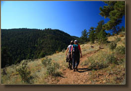
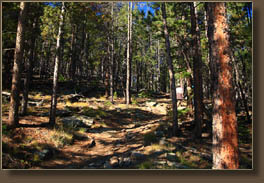
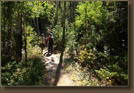
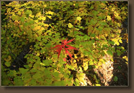
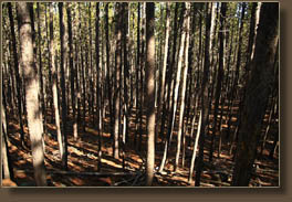
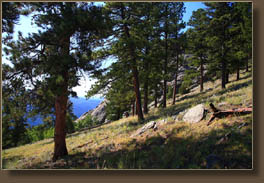
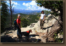
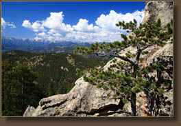
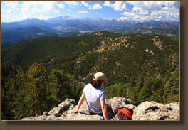
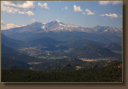
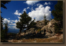
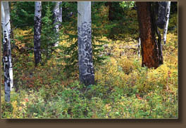
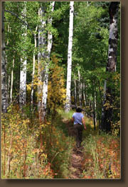
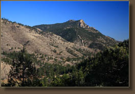
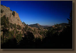
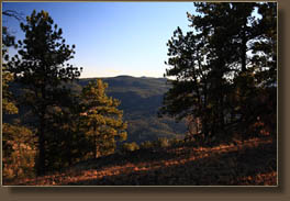
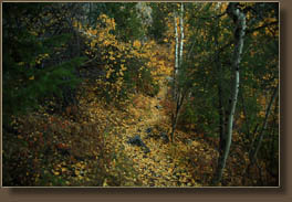
September 20, 2008 Itís a nice, early morning in September, with still, humid air and a crystalline blue sky. But itís not supposed to stay that way, according to the weathermen. Thus, despite our instinctual desire to spend such a beautiful day high in the alpine wonderland of Rocky Mt National Park, we opt instead for the closer, shorter summit of Crosier Mt, just up the canyon from Loveland. Andra, Makenzie, Christine and I enjoy hot coffee as we zip up Hwy 34 towards Drake, then take a turn up towards Glen Haven. Iíve never driven on CR43 to Glen Haven, and I enjoy the lushness of the vegetation along the sides of the road very much. Nice drive. There are three trailheads that access Crosier Mt, each one in succession offers a slightly easier trip to the top by way of decreased elevation gain. We opt to pass the most difficult route beginning from the Garden Gate trailhead, but leave ourselves some challenge by stopping in at the oddly named Gravel Pit trailhead. The final option is a trailhead at Glen Haven, but we never quite make it to that point. We stop the car in a small parking lot along the winding canyon road. I lace up my boots and doublecheck my pack for everything I might want on the trail, and we are off, with Makenzie in the lead, as usual. The trail immediately passes behind a residence, then shoots uphill at a heart-pounding incline for a mile through Douglas fir and Ponderosa pine. Though it is September, weíre all sweating freely in the still and humid morning air. Andra and Christine talk about whatever it is girls talk about when left to their own devices, while I am constantly lagging behind and playing catch up after stopping frequently to photograph the surrounding scenery. The trail levels off onto a gently sloping hillside, and views down a stretch of the Big Thompson Canyon open up, with Round Mt on the south and Pallisade Mt on the north. We walk on in the white morning light, through fabulous groves of aspen trees so old and large that their lower trunks have lost their smooth white bark and instead have thick gray bark, like an old cottonwood. The currant bushes are turning yellow, and the buckthorn bushes and wild roses are turning red. The variety of color makes me happy we chose this time of year, and not later, to hike this trail. In 45 minutes, we reach the junction with trail 931, which will convey us most of the rest of the way to the summit. It heads uphill at less of a steep grade, so conversation is a little easier to manage. Soon we are out of the lower Douglas Fir-Ponderosa Pine belt, and into the lodgepole pine belt, which is so much less interesting. The lodgepole pines grow in ranks for as far as we can see in either direction, so close together you could probably hug two at a time if you wanted to, and so thick that the forest floor is absolutely barren beneath the absolute shade. Really kind of dreary. We pass on over a high point and continue downhill just a bit to the spur trail that leads to the summit. The summit trail is very steep, though mercifully short. We sweat and grunt up the sun-drenched hillside towards the top, which is very rocky but with clusters of trees to break the wind. We make it to the top just 2 hours after starting, which makes me doubt the published 6-mile trail length. More like 4 miles, it seems to me. The rocky summit has steep dropoffs to the rocks below, and we all worry a little about Makenzie taking a wrong step. Does she know not to run off the edge? Sometimes in her enthusiasm, she does pretty stupid things, like running into a barbed wire fence, so itís worth watching her closely. To the southwest we have an unintertupped view of the Twin Sisters, Longís Peak, and the entire range along the Continental Divide through Rocky Mt National Park, all the way up to the Mummy Range. Views further north are blocked by trees, but what we can see is pretty impressive. Estes Park is visible in the valley below, and the whole scene is a nice reward for a hike that really isnít that strenuous. After admiring it from the rocky outcrop, we retreat a little to a more relaxing perch among the trees for peanut butter and jelly sandwiches, courtesy of Christine. Makenzie gets pieces of everybodyís sandwiches, and finds water in the potholes among the rocks. Itís 70 degrees, and I canít think of a better place to have lunch on this day. Just as the weathermen predicted,
clouds roll in over Estes Park around noon, and are headed our way on a
slight breeze. The sun is still shining merrily, but the dark purple underbellies
of yonder cumulous clouds indicate rain ahead. So, we head downhill at
a leisurely pace, encountering several groups of hikers on their way up.
We have nice conversation on the way down, and play a little hide-and-seek
with Makenzie (she isnít very in to it today), as we pass through spells
of cloud cover followed by brilliant sunshine. We reach the trail junction,
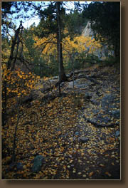
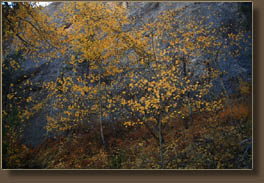
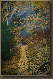
and head on down through the aspen and buckthorn, enjoying the fall colors.
By the time we reach Table Rock, the clouds are in to stay, and thunder
cracks sharply from what sounds like the summit, and echoes through the
rocky canyons. We quicken our pace a little, not wanting to get drenched,
and march doublequick towards the car. Incredibly, we still encounter hikers
on their way up, even as a light rain starts. We reach the car at 1:45,
and pile in just as the rain really starts coming down. Great timing! We
drive all the way home in a steady rain, stopping once for a serious accident
on Hwy 34 that backed up traffic for miles in each direction.
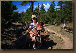
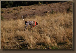
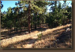
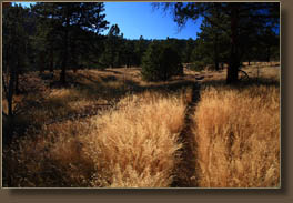
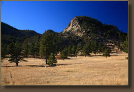
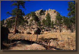
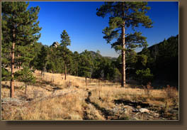
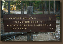
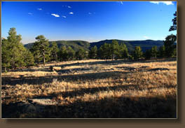
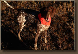
October 29, 2008 Itís crazy warm today, hovering around 70. The sun seems much closer and hotter than it ought to for October, as if a portion of the atmosphere has been stripped away to reveal the special harshness of unfiltered UV radiance. Itís more like thereís no sky at all, just me, open space and then the sun. Thatís the specialness of fall hiking that never gets old. I hear it called various things: crisp, clear, stark. Itís all of that. That special fall angle of the sun heightens the senses, maybe harking back to pre-tool human lifestyle when the fall sun angle at solstice meant a cold, dark winter ahead that many would not survive. I plan on surviving the one to come, though I donít discount the coldness and the darkness. For a Texas transplant like me, making it through January and February requires real mental preparation, a work office with a southern exposure to let sunshine in and leaving the Christmas tree up and fully lit until it well past a fire hazard. So it is under this brilliant sun hovering low on the horizon in a crystalline blue sky that I leave my car at around 2:00 with my four-legged canine hiking machine, Makenzie. Makenzie is fearless and unstoppable. Sheís 60-lbs of indominatable hiking finesse, rain or shine, snow or heat, sheís always game to hike 5 times farther than me while following the same general route. She spills out of the car, and I corral her quickly towards the gate leading up the trail so she doesnít stray too far into the highway, though it is devoid of traffic at this time of day. She plows up the trail, panting already, swerving liking a whirling dervish this way and that off the trail, spinning around on herself to catch smells that register in her brain milliseconds after sheís already passed them by. Hiking is perhaps my favorite recreation, but hiking with a dog takes it to a whole other level of entertainment. There is lots of cow poop on and around the trail, and the grass is grazed short. I hope it is not like this the whole way. I pass by the trailhead sign that declares the route is 5 miles to the summit, though Iím not sure I believe it. The route winds through open grassland, taking more liberty with switchbacks than is probably necessary. Looking north, across the road, several immense homes come into view, and I wonder what in the world people do for a living to afford houses so immense. Iím clearly in the wrong business. In about 10 minutes, we enter the trees on the north face of a steep slope, which puts us immediately into deep shadow where the temperature drops 10 degrees. Douglas fir and Ponderosa pine line the trail, which shows evidence of recent re-routing to include more switchbacks, many of which seem excessive. Trails shouldnít go straight up hill, no, but neither should they wind around back and forth with little elevation gain so that you feel like youíre simply walking back and forth through the empty line barriers of an amusement park ride. The route continues up, generally towards the east, leading past nice outcroppings with views of Palisade Mt to the east. Orange sunlight slants through the trees in spots, but by and large it is shaded and dim in these thick woods, with lots of downed timber on the ground. After ½ mile, the trail levels off and begins to head south and away from the occasional car noise from the road below. I am glad that we are now back in the sunlight, though I note that the sun is low, and I need to keep a brisk pace to ensure I donít get caught out after dark. We enter a very large meadow where only a few ponderosa pines break up the expanse of tawny grass. On the western edge of the meadow sits a massive granite dome covered with patches of pines and Douglas fir, looking something like Gray Rock, but smaller. A long, straight path leads through the meadow to the south side of this rock, then curves west to go up a short valley where we once again find ourselves in the shade, walking through leafless aspen groves and thick pine woods. Clearing the ridge, the sun is once again on my face, and I stop to drink some water and splash some out of my canteen for Makenzie. There is almost no water on the trail, yet Makenzie finds a small little puddle of water to cool off in. If thereís water around, sheíll find it! The trail dips down into the succeeding valley, and then follows that valley up to another ridgeline. From then on itís nice hiking along gentle terrain with slanting shadows falling across the trail and brown grass on either side. Iím waling quickly, sowing the seeds for tonightís leg cramps, but Iím conscious of the time, and am relieved to come upon the familiar junction with the summit spur. Wasting no time, I huff and pant my way to the top by 4:30, standing at the summit only long enough to snap a photo, then skipping back down. On the return trip, the heat I had worked up going uphill leaves me and it gets pretty chilly as my sweat-soaked shirt begins to dry. I walk quickly down the well-marked path, keeping track of Makenzie as she plunges into the woods at intervals to chase some unseen, but obviously heard, critter. Rounding a corner halfway back I twist my ankle, but just a little bit. It reminds met to pay attention to the trail and keep alert. Itís always on the return trip that I make a mistake and hurt myself. Fortunately, there are no further accidents. Still, in my tired state, daydreaming takes on a whole new enjoyment, and I pass the hours hiking back by reliving old times, or imagining fun new ones. Hiking with friends is always fun, but hiking alone (or with a dog) has a special Zen-like quality that fosters deep meditation. I find that the most relaxing of all. I read with interest a recent article by Yuko Tsunetsugu et al. (2007) in the Journal of Physiological Anthropology 26:135-142 that described the beneficial health effects of a walk in the forest. The researchers compared blood pressure, pulse rate, heart-rate variability, and salivary cortisol + immunoglobulin A concentrations in subjects who walked 15 minutes in the forest with subjects who walked 15 minutes in the city, and found that all indicators were positively influenced by the walk in the forest. This really isnít surprising to anyone whos taken a nice hike in the woods, but I was interested to see how that feeling of well-being played out on a physiological level. Itís sunset, and Iím still on the
trail, though I recall these landmarks and know that I am close to the
car. Another 30 minutes of walking and we reach the trailhead, just as
the light fades to the point where colors are no longer discernible. I
have my headlamp in my pack, but I am glad not to have needed it! Total
hiking time for this route is around 4.5 hours.
|
 |
 Comments |