

November 18, 2008
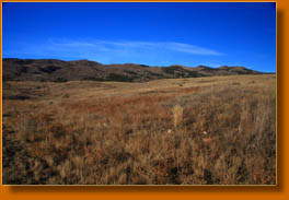
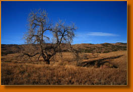
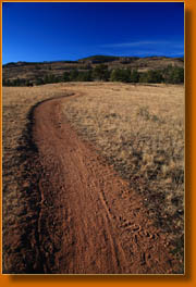
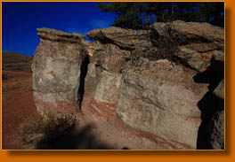
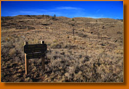
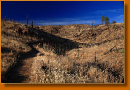
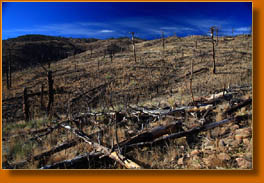
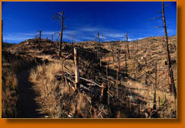
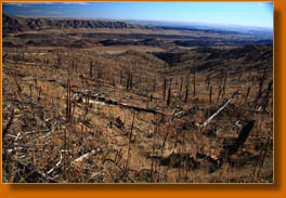
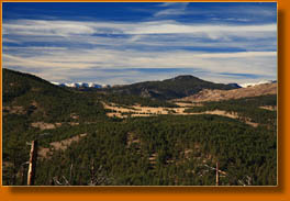
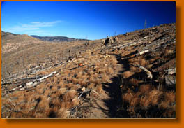
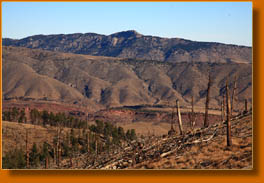
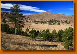
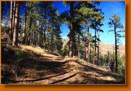
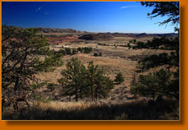
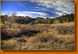
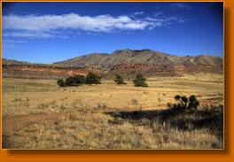
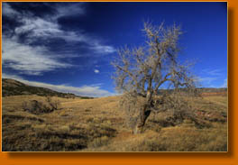
8:44 AM: The trail winds around a little more than strictly necessary, but is scenic and comfortable to walk on. I passed the first trail junction several minutes ago and am now on my way west on the Valley Loop, though I donít plan on staying on the Valley Loop trail long. There are no other humans about, and my only company so far are the three fat prairie dogs watching me from the tops of their holes, ready to dive in if I should move too quickly, I expect. Itís 53 degrees, but very breezy. The sun feels very warm. It's a great day to be out hiking. 9:30 AM: I took the Ginny Trail and headed uphill at the last trail junction. The entire hike appears to be through the big Bobcat Gulch burn of 2000. I remember clearly that Chuck and I were backpacking near Pingree Park during that fire, and the gray smoke it produced created a massive plume to the south of our camp. (Here's a picture taken during that trip) Snags line the trail, though most have apparently been cut down by saws or have fallen over on their own leisurely schedule. All the plants are dry and tawny, but I can still see the bunches of wheatgrass, cheatgrass, spikes of seeds on Minerís Candles, annual mustard, dried-up thistle, fringed sage heavy with seed, Astragalus, salsify, hairy goldenaster and the red leaves of wild geranium. The only green to be seen are the sharp yucca leaves and the dark green Ponderosa pines on the ridge way above me to the west. 10:45 AM: For the last hour I followed the Ginny Trail as it wove back and forth from Forest Service land to City of Fort Collins Open Space, with very pleasing views to the west towards Palisade Mt and the snow-shrouded peaks of the Continental Divide farther west. I enjoyed watching an enormous raven eat something dead in the crook of a tree, and noticed over a dozen woodpeckers busy at work digging out little worms from the snags. The wind has blown like a demon, and my head pounds with each step I take. Though Iíve sucked down plenty of water, this wind seems to suck it out of me faster, and a wipe of my hand across my brow causes the crusted salt to grate my skin like sandpaper. Iíve just passed into the first shade of live, green trees since beginning the hike. I am in Mahony Park, where the fire seems to have spared quite a number of pine groves. 11:00 AM: I just reached the junction of the Powerline Tr. A sign to the left (uphill) says that this is not a trail, though my map says it is. I continue straight and onto the DR Trail, which runs up the north side of the basin, and begin angling back east. Horsetooth Rock is clearly visible to the northeast. 12:05 PM: The DR Trail has largely escaped the burn and so is more shaded and, frankly, much more pleasant. I highly recommend this trail, although it is much wider and more obtrusive on the land than the narrow, winding Ginny Trail. There are lots more Ponderosa pines and Douglas fir, while the forest openings are covered with curl leaf mountain mahogany rather than yucca and bunchgrass. The trail descriptions in the brochure I picked up donít match the labels on the map or on the ground. The Ginny trail is described as a ďnarrow dirt roadĒ, which it is clearly not; however, that adequately describes what is labeled on the map as the DR Trail, so I suspect the brochure might have the trail names mixed up. It doesnít really matter, though, since they form the same loop even if you switch the names. I just reached the junction with the Valley Loop, and am planning on heading south now along the western side of the Valley Loop so as to stay in the trees more. 12:40 PM: Just reached the junction with the Ginny Trail, completing my loop of about 10 miles. Adding in the stretch from here to the car, both ways, this entire trip should be about 10.8 miles. Noticed a lot more hikers and horses on the trail the last half hour. This Valley Loop is apparently the very busiest part of the area, with good reason. It takes a chunk of time to tackle the full Ginny/DR loop, but the Valley Loop is only 4 miles and mostly flat so can be done in 1 to 2 hours. Ibuprofen has not assuaged my pounding headache, and I am out of water, both factors that temper my endorphin high near the end of this hike. I hate wind. Even this early in the afternoon, the low angle of the sun makes it feel like 5:00. 12:55 PM: Iím back at the car, boots off and feeling tired. Itís 73 degrees out and the wind must be >20 mph. There are 8 trucks with horse trailers in the lot. I think the nicest part of the hike is on the high ridge along the Ginny Trail where you have views to the west, but the hike up through the burn to get there isnít terribly interesting. The DR Trail is the most calming stretch, since it is mostly wooded and apparently receives little use. The Valley Loop looks to be very busy with bikes, horses and hikers and so requires alertness to avoid bumping into somebody or something, but was pleasant as it wound through the gullies and ridges near the valley floor. I pull on my sneakers, plop in the car, and head off towards Fort Collins and lunch. |
 |
 Comments |