| Big
Frog Mountain
Location:
Big Frog Wilderness, Cherokee National Forest, near Cleveland, Tennessee
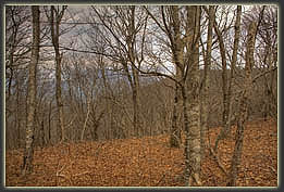
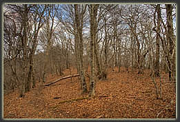
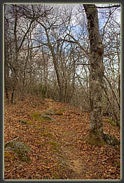
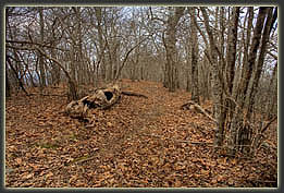
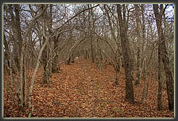
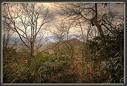
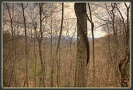
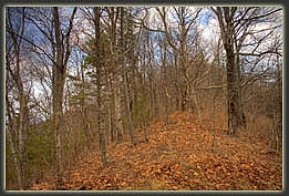
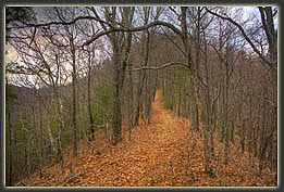
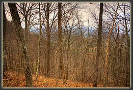
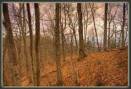
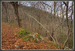
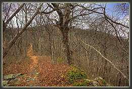
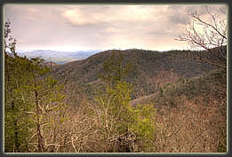
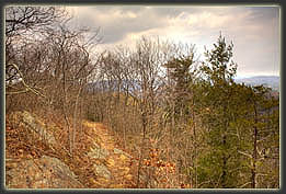
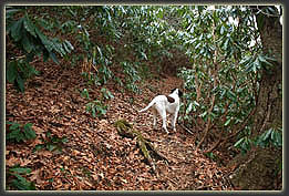
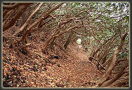
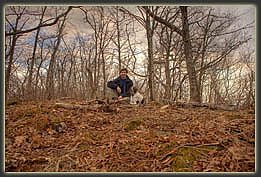
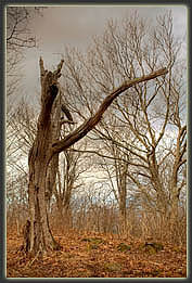
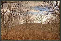
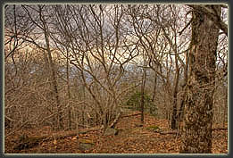
February 20, 2011 The first time I ever visited Tennessee, the backpack that went on the airplane with me had notes for my interview, and a map of Big Frog Mt. My biggest misgiving about taking a job in Tennessee and moving away from Wyoming was that the national forests were too far away. The last day of my interview trip was reserved for either proving or disproving that I could drive to a national forest, hike a significant distance, and return the same day. So, in early March 2010, I tried driving to the trailhead for Big Frog Mt, only to be turned back 8 miles from the Ocoee Powerhouse #3 by a rock slide, which detoured me over to the Clemmer Trail instead. Thus, I never actually completed the experiment. Now itís almost March again, and Iím determined to see the summit of Big Frog Mt. Itís a cloudy day, but warm (around 60 degrees) though the wind is blustery. Henry is with me, but remains mostly quiet in the back seat, except for the occasional musical number that gets him to howling. The drive to the trailhead is no joke: 3 full hours from Rock Island to putting boots on in the deserted gravel parking area near the trailhead for Big Frog Trail 64. I throw on a fleece shirt over my tshirt because of the wind, but the temperature is very mild. I take my fleece jacket, gloves, hat and outer shell just in case. Off we go, Henry in the lead, up the trail, and frankly itís like every other trail in the Appalachians to start with: lots of hardwoods with no leaves, white pines, Virginia pines and hemlocks, and lots of brown leaves on the ground in familiar shapes of red oak, white oak and hickory, and though its leaves are crumbled beyond recognition, the sliver seeds of the tuliptree scattered on the leaf litter betray its presence. In fact, the largest trees along the trail are tuliptrees, and they stand out on a trail that really doesnít have all that many big trees. The trail follows an old logging road, and at points along the way, other abandoned logging roads snake down the slope, slowly reverting back to wilderness as pines and hemlocks invade the once-flat surface that carried most of the forestís trees out of here. No judgement there. Civilization needs wood. Nevertheless, Iím glad this little section of Appalachia is safely protected, at least for now. Henry trots up ahead, but shoots a look over his shoulder every 10 paces to ensure Iím still behind him. As a prank, I watch him glance at me, and when he looks ahead again, I slip behind a white pine trunk off the trail and watch him stop, look back, wait, then finally trot back with consternation, looking for me. I always think this sort of scare might keep him from walking too far ahead of me, but so far it has not. In no time, heís 30 yards ahead of me again. After half an hour of easy walking, the sun tries to make an appearance, and shines weakly through the trees. This effort is abandoned in a few minutes, and it remains cloudy for the next several hours. We reach Low Gap, and then the grade steepens considerably and the trail narrows as we head up Peavine Ridge. I stop to remove my long sleeve shirt, and grab some chocolate, that most perfect of hiking foods (especially when complemented by nuts!) Cruising on, we pass an hour away up the slope, turning right at the next junction to ascend Chimneytop Ridge. The trail gets pretty interesting here because of the steep slopes down either side of the trail, and the improved views in both directions, though I imagine in summer the trees might impede the views considerably. We pass on by Chimneytop, which is very obvious and well-named, and conintue up the ridge. The finest feature of the entire hike is the awesomely-dense monoculture of mountain laurel that stretches for a couple hundred yards, through which the trail passes like a tunnel. Iíve never seen mountain laurel grow so thick, and to the exclusion of all else for so large an area. Shortly after that segment, the trail switches back and heads through another alley of solid mountain laurel so thick, someone could camp 10 feet off the trail and never be seen. It reminds me of some of the jungle trails in Hawaii. At the summit plateau of Big Frog Mt, the trail levels off considerably. Reaching a trail junction near the summit, itís obvious which direction the true summit is, and we head up the slight grade through trees about 30 yards to the highpoint, which is marked with a rock, a firepit and a really creepy dead tree. I remove my pack and pull out the foil pouch of tuna Iíve been thinking about, as well as a bag of crackers (salt, salt salt!). In the process of unzipping my bag and pulling out food, I find that my hands are moving very slowly. Itís an odd feeling: Iím telling my hand to do something, and it responds as if itís a lazy, disgruntled employee. Iíve felt this before, and though sluggish muscle movements are listed as a sign of mild hypothermia, it happens at times that Iím not at all cold, itís not really that cold out (50 degrees, in this case), and my core temperature is warm enough that Iím sweating. It seems perfectly reasonable to have a warm body and cold arms, however, so it could be symptoms of an impending problem. Alternatively, it could be the effect of blood pooling in my hands from swinging my arms nearly non-stop for hours. Either way, I decide that itís best I put on my fleece shirt and jacket, if nothing else to keep the sweat on my shirt from freezing me in the cool breeze now that Iím not moving. I slowly eat the tuna and crackers, and relax for a bit, sipping water at the quiet summit. My hands return to normal operation in a matter of minutes. Views around the region from the summit are expansive, but highly impeded by dense forest, even in the winter season. Itís also very hazy out, so that even where the horizon should be visible, it is not. I throw a few crackers to Henry, and we take a picture at the summit before heading back down the way we came. Trails always seem steeper on the way down than the way up, and I find that this trail fits that rule perfectly. Itís a constant steep downhill that causes hot spots on the balls of my feet. Just after the departure from Chimneytop I start feeling too warm for my jacket, and a bit later at Low Gap, I lose my long sleeve shirt too, as the temperature is up around 60 again. The sun even comes out for the last half hour of the walk. We reach the parking lot at 4:00, and then itís a long 3-hour drive home. Still, I confirm that it is possible to drive to the national forest, hike 11.2 miles, and return home in one day, albeit a tiring, 11-hour day!
|
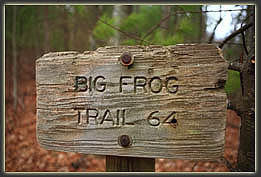
I love the old trail signs, warped, rusty, and spotted with moss.
|
