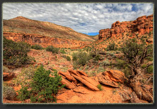
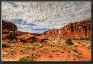
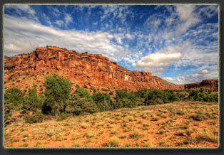
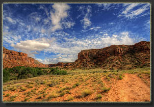
Big Dominguez Canyon
  • Location: Dominguez Canyons Wilderness, south of Grand Junction, Colorado
  • Access: Lower portions of both Little and Big Dominguez Creeks can be reached via the Bridgeport TH. From the City Market on Hwy 50 on the south side of Grand Junction, head south on Hwy 50 17.7 miles, and turn right on the Bridgeport Rd. There is a large BLM Dominguez Canyon sign to mark this turn. Head west on the Bridgeport Rd, following Deer Creek, for 3.2 miles and park either at the dirt parking area on the bluff (upper TH), or go on down another 200 meters and park right next to the boat ramp on the river (lower TH). 
  • Fees: None
  • Trailhead: Upper TH UTM NAD83 728187e 4303350n 4759' /  Lower TH: 728039e 4303316n 4762'
  • Trails: A well-trod trail parallels Big Dominguez Creek. I’ve hiked ~3 miles of the upper end on the west, and ~ 6 miles of the lower end on the east, but never the entire stretch, as it is 13+ miles one-way. It is easy walking, though it does have 3,400 ft elevation gain from the bottom to the BLM campground which provides access to the upper end of Big Dominguez canyon. 
  • Description: From the lower TH, walk south on the Bridgeport Rd along the Gunnison River. This road parallels the railroad tracks, so watch for trains. In 1/3 mile, the road crosses the tracks and continues to parallel the river. In another half-mile, a private bridge appears on the right. Continue another 100 meters to the public foot bridge and cross to the west side of the Gunnison River. (It appears from aerial photos that a trail from the upper TH bypasses most of the Bridgeport Rd, and if so, this would probably be a more enjoyable route.) Hike south on the dirt path another half-mile, past the river campsites, to the confluence of Dominguez Creek with the Gunnison River. Follow the trail as it heads up the canyon to the west.  Head into the broad canyon and hike about ¾ mile, whereupon the route will split, with Big Dominguez Creek on the right, and Little Dominguez Creek on the left. The pictures and narrative below deal only with Big Dominguez Creek.
  • Maps & Info: USGS 7.5’ Quad Triangle Mesa covers lower Big Dominguez Canyon. To head all the way to the upper access at the BLM campground, you’d need Jacks Canyon and Keith Creek.  Escalante Forks covers Little Dominguez Canyon. BLM Info Pamphlet 
  • Weather: Forecast
View larger map


June 5, 2015
Jim and I left Grand Junction under another disappointingly cloudy sky. We had planned on kayaking the Colorado River today, but the heavy rains and cool temperatures convinced us to divorce that plan and concoct a new one. Thus we headed south on Hwy 50 towards Dominguez Canyons. Rain pelted the windshield as we cruised south, but luckily the Bridgeport Rd was dry as we cruised down to the Gunnison River. 

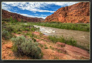
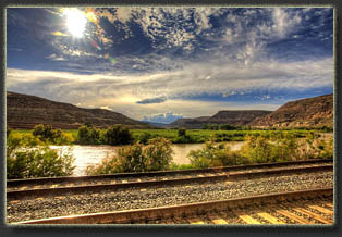
Donning a sweatshirt against the chill, I loaded my pack before and we set off down the clay road that runs next to the railroad tracks. A train did in fact come by while we hiked this short stretch. There’s really nowhere to go but up against the rock cliff face, and when a massive train is zipping by at 50 mph, this doesn’t feel quite far enough for comfort. After the train passed, we resumed walking, crossed the tracks, and neared the river. A wooden bridge appeared, but was gated and had threatening no trespassing signs. We continued along another hundred meters to the BLM bridge, which was only large enough for foot traffic. The Gunnison River rumbled along muddy and frothing underneath the bridge. 

We passed by the river camp amongst tall cottonwoods, where a group had several large tents set up. Given the chilly air and threat of rain, they appeared to have decided to sit out today. We talked with one of the guys briefly before continuing on to the canyon. An old dam sits just off the trail, but appears to be dysfunctional. The trail was easy to follow as it headed away from the river on the north side of Dominguez Creek towards Triangle Mesa. Once we rounded the bend, a strong wind, blowing down the canyon, forced us to stop and put on jackets. 

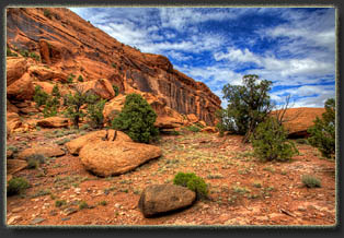
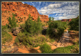
We gained some relief from the wind once we reached the canyon junction and turned west again to head up Big Dominguez Canyon, as the 400-foot canyon walls blunted the breeze. Soon we found the marquee waterfall that is depicted in all the brochures and book chapters I’ve seen on Big Dominguez Canyon. It was just as impressive in real life, and we hiked around to the south side of the creek to better appreciate the cascade. It was not visible from the trail, and I had Jim to thank for knowing approximately where it was.

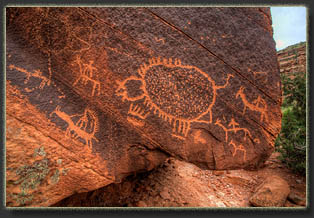
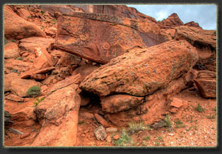
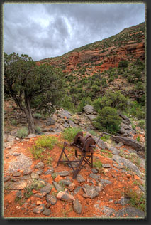
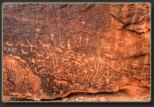
Hiking with Jim proved fruitful in other respects as well. He pointed out multiple panels of petroglyphs that I probably would not have noticed. We also found an old mine, with the vertical shaft covered by a locked steel grate. Mining machinery stood rusting nearby. Jim flushed a bird out of a hand-cranked pulley wheel when he turned it (it still works), and noticed the bird had a nest built inside. 

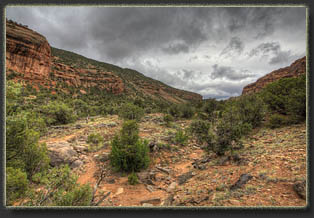
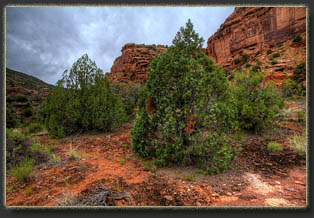
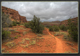
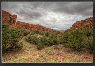
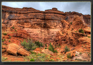
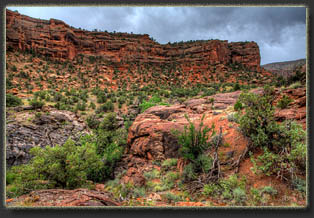
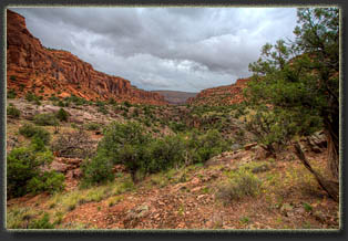
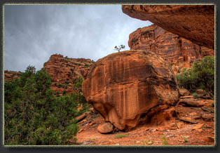
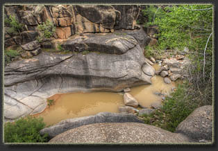
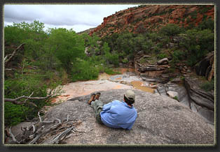
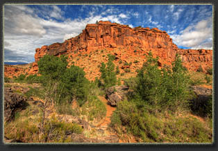
We hiked up through the junipers and redrock along the canyon for several miles, ultimately reaching a point 6.7 miles from the trailhead where a series of boulders provided a nice overlook of a large pool of water. We sat and enjoyed the view for a bit, then, around 2:00, began heading back to the car.

Despite the threatening skies most of the day, it never rained, and as we traveled down the canyon, the sun came out from behind clouds for longer stretches. By the time we reached the junction with Little Dominguez, the sun was fully out. 

We reached the car around 6:00, then cruised back into town for dinner.

Big Dominguez Canyon, Colorado
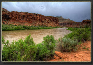
Threatening skies over the Gunnison River

Big Dominguez Canyon, Colorado
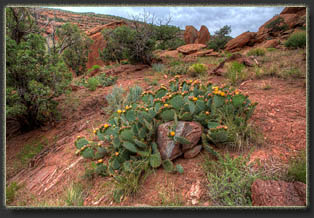
Cactus just about to bloom like mad

Big Dominguez Canyon, Colorado
The posterchild waterfall of Big Dominguez

Big Dominguez Canyon, Colorado
Rock art on boulders near the trail

Big Dominguez Canyon, Colorado
Some of the old mining equipment left rusting along the creek

Big Dominguez Canyon, Colorado
Jim relaxes at the furthest extent of the day's hike

Big Dominguez Canyon, Colorado
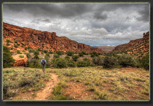
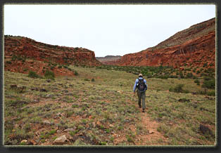
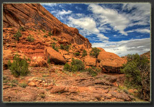
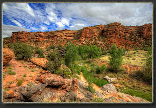
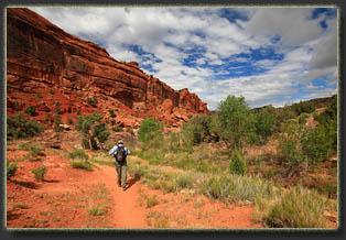
Heading down Big Dominguez Canyon

Big Dominguez Canyon, Colorado
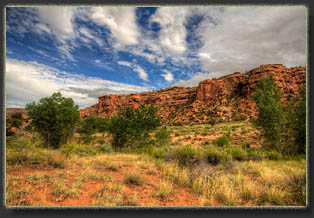
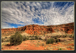
The sky begins to clear

Big Dominguez Canyon, Colorado
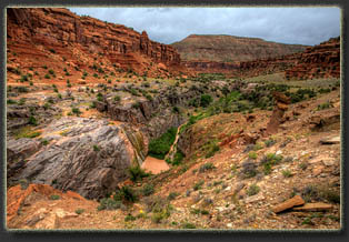
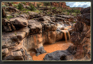
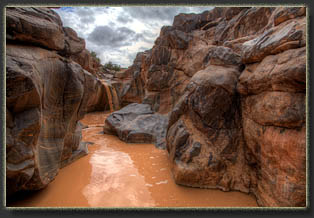
Interesting falls in the lower end of Big Dominquez

Big Dominguez Canyon, Colorado
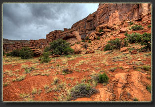
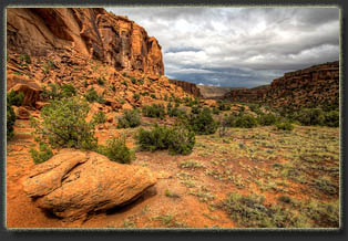
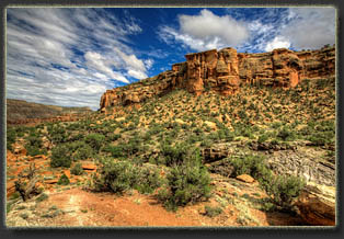
Looking downcanyon, Triangle Mesa on the right

Big Dominguez Canyon, Colorado
Gunnison River near the river camp

Big Dominguez Canyon, Colorado

The railroad tracks along the Bridgeport Rd


BACK                           NEXT


Page created 11-29-15