Brushy Creek Mountain
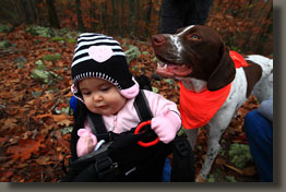
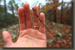
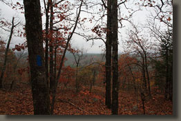
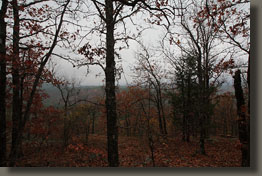
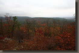
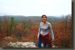
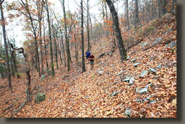
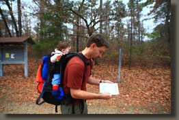
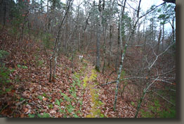
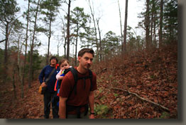
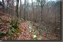
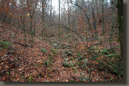
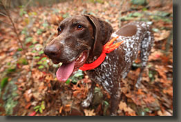
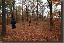
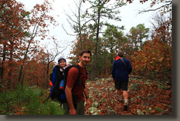
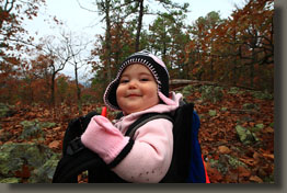
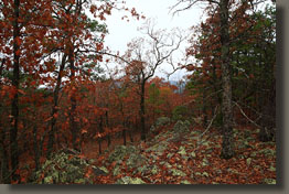
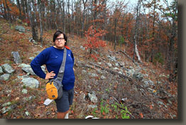
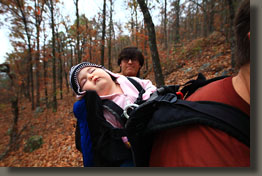
November 21, 2010 We met my old high school pal, Mendez, at a green-sided, pink-walled rastafarian-themed rental cabin near Mt Ida. Mandy, his wife, was unable to attend, though she had been the chief lobbying party for this particular cabin some days previously. The location was largely dictated by its equal distance to our respective residences in Tennessee and Texas, and with Ada only 9 months old and not keen on 13-hour car rides, an essential stopover point for us on our way down for a Thanksgiving visit. In between nights spent at the cabin, we ventured out on a drizzly Saturday with our dogs, Makenzie and Henry, to the Brushy Creek Trail. Though overcast, it was not cold. Any temperature below 60 might’ve precluded us from taking such a hike with Ada, but we were lucky to hit a late November warm spell of upper 60’s. We donned orange, all of us, dogs too, and were off by 10:00. From the parking lot, we followed the dirt road south across Big Brushy Creek and then turned west onto the trail, which immediately led up stairs and into the woods. We followed the route to the southwest over rocky terrain, made slippery by the morning drizzle and layers of slick, wet leaves. Ada maintained a running conversation with herself, while the rest of us talked of other, less interesting things. Before long the exercise made me hot, and I stopped to remove my outer shirt and pant legs. Shortly after, we reached a fork in the trail, and decided to head to the left to complete a loop back to the car. Turning right also would have started us on a loop trail back to the car, but a longer one. Since the trail did not go over the small summit at 1425’, we cut due north from the trail to reach it. The summit consisted of a pile of rocks surrounded by trees. We sat and snacked, enjoyed the view to be had through the naked trees, and enjoyed the company of a brown walking stick. As the summit is covered in poison ivy, this hike is only likely to be enjoyable during the fall and winter. We continued down the trail, losing elevation as we neared the trailhead. The latter portion of the trail, as it sidled alongside the Big Brushy Creek valley, had several rocky outcroppings where the lack of tree cover allowed an unobstructed take on the surrounding country. As most of the leaves were off the trees already, there was not much color to the hills outside of the green pines. We reached the road, and
followed it back to the car. It seemed a bit too soon to be done walking,
and in retrospect, the longer loop might’ve been the better choice. There’s
always a next time.
 |
|
