| Abrams Creek Loop &
Abrams Falls
Location: Great
Smoky Mountains National Park, TN
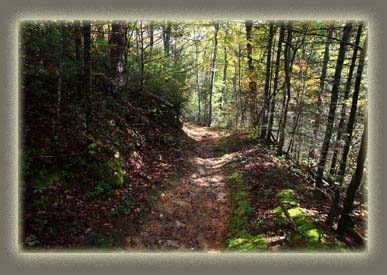
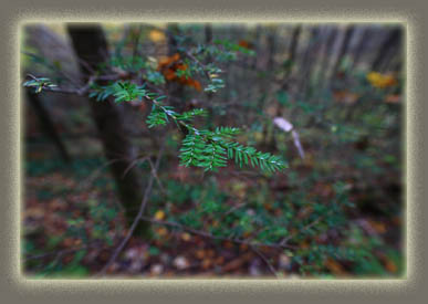
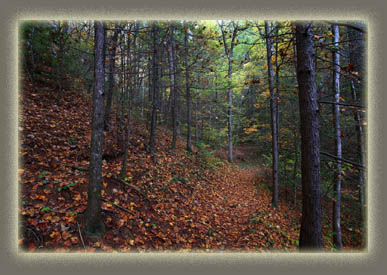
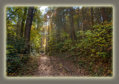
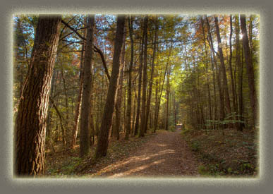
October 21, 2010 After hiking out from Campsite 95 off Wolf Ridge elsewhere in the park, I hopped west over to Abrams Creek and parked across the street from the ranger station, which seemed to be deserted. I walked south from the parking area and hit the Rabbit Creek Trail heading up Pine Mt. I quickly ran into a Park Service crew felling a massive dead hemlock, another casualty from the wooly adelgid that is slowly marching eastern hemlock towards practical extinction. Passing over the huge log across the trail, I meandered on up the steep, wide trail through very large tuliptrees, red oaks, and humongous white pines, which were the biggest trees around. The rain earlier in the morning still clung to all the leaves, and it smelled very organic and mossy. The sun was muted behind clouds, but as I neared Scotts Gap, the sun came out and filled the woods with light. From Scotts Gap, the trail
began to head north on the eastern side of the mountain, and the heavier
southern exposure was obvious in the drier conditions, sparser vegetation
and smaller trees, mostly oak. Winding around multiple valleys, I eventually
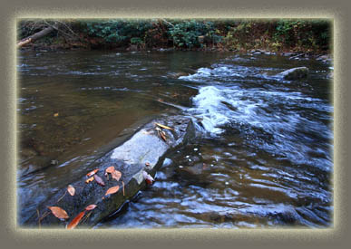
reached Abrams Creek, which I was surprised to find had no bridge. Luckily
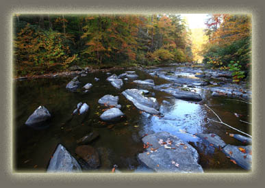
the water was low enough that I was able to hop across most of the way
on the dry tips of boulders above the fast-moving stream, and only had
to take a few steps in ankle-deep water, which was not high enough to spill
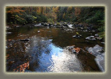
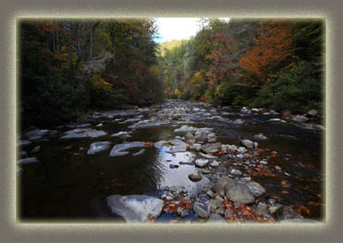
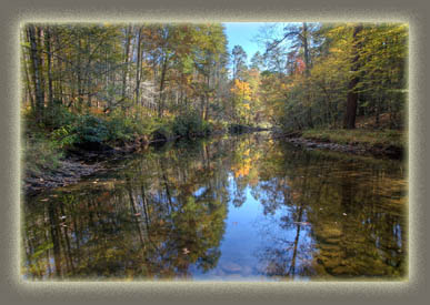
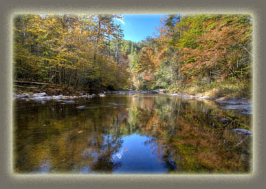
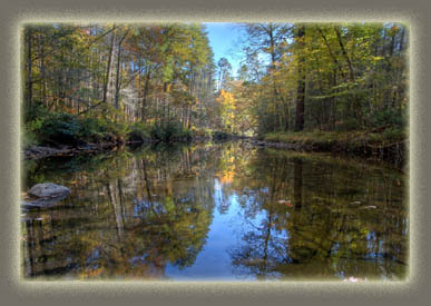
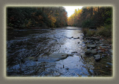
over my boot top. The creek is beautiful, tucked down in a deep v-shaped
valley, with walls dripping with hardwoods and pine. Very scenic. I headed
west, following the downstream current of Abrams Creek. I expected the
trail to follow the creek closely, but it instead headed straight uphill
to the junction with the Hatcher Mt Trail, then straight back down to the
creek. I stopped here to fly fish, and while I was able to rake in small
silver minnow-like fish with ease, there seemed to be no action on trout,
so I moved on. Again, the trail went straight uphill to a beautiful perch
high above the creek, then straight downhill to the creek, then uphill
again, then downhill, and so on. It was not the standard follow-the-stream
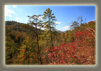
trail. Many sections were on very steep slopes leading far down to the
creek, and provided open views of the valley and the ridges beyond to the
west. For some reason, there were lots of downed trees through here, perhaps
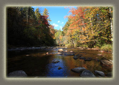
from a storm? Each time I was near the creek, I stopped for at least half
an hour to fish, and enjoy the tremendous fall color, but each time my
success at landing a trout was equal to the first round upstream. Near
the campground, the trail followed what appears to be an old logging road,
lined with massive white pines that made me think I was in Oregon, they
were that large. Reaching the campground, I followed the pavement back
to the ranger station, and to my car.
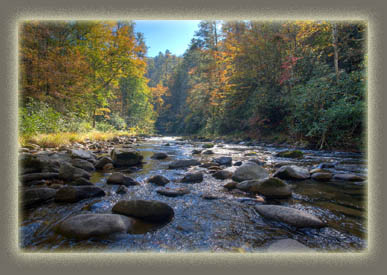
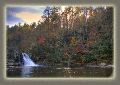
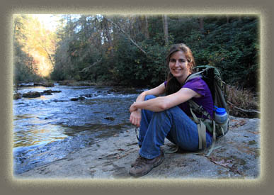
October 30, 2010 Andra and I, on a wonderful weekend getaway in Townsend, decided to head into Cades Cove for the first time and check out the eastern side of Abrams Creek, which is accessed from the Cades Cove loop road. The weather was warm and sunny, and I suppose that, combined with it being Saturday, accounted for the enormous number of cars on the road with us that day. The parking area for Abrams Falls was packed beyond normal capacity, with many folks parking on the grass along the access road. Andra and I parked at 1:00 and started up the trail with a light pack. There were lots of folks on the trail enjoying the fine autumn foliage and mild weather. We cruised up the trail at a nice pace. Ada was at home with Andra’s folks, so we had no baby carrier to contend with. The route followed Abrams Creek, sometimes rising up the gorge wall and sometimes running only a few feet from the stream. Very pleasant. We arrived at Abrams Falls where a congregation of hikers was gathered around the 20 foot column of water plunging off a limestone ledge into a wide, deep pool of choppy water. We sat along the edge of the pool on large blocky rocks, then hopped back on the trail for the return trip. On the way back, we stopped a few more times along the creek, walking out to the center of the wide, shallow stream on exposed rocks. The sun was dipping down low on the horizon by the time we returned to car three hours later. The drive back to Townsend was very tedious, as the traffic in Cades Cove was almost at a standstill. I’d advise hikers thinking about hiking this trail to avoid it on weekends. |
 |
