Peak 7655
near Turkey Roost, Colorado
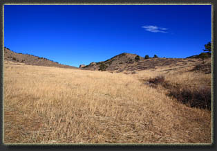
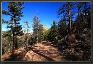
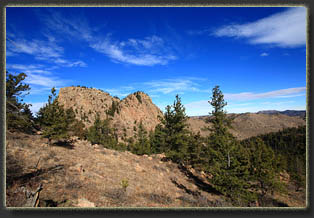
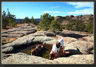
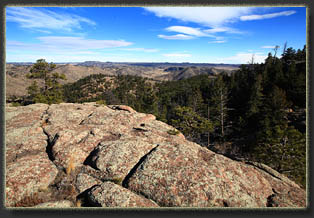
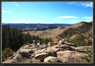
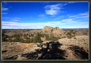
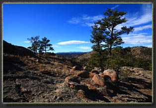
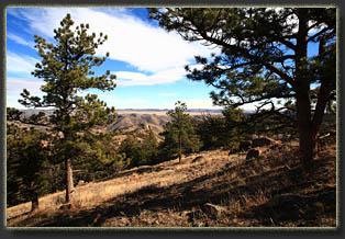
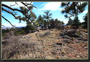
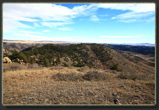
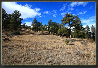
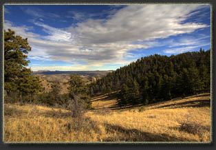
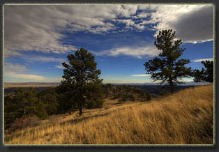
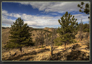
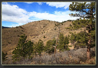
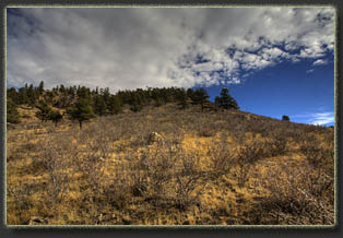
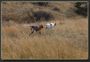
View Larger Map After being turned back by a washed-out Level 6 Road up near Green Mountain, I found myself looking for a place to hike with the dogs on this fine November morning, where the temperature hovered at an unseemly 58 degrees. Rumbling down Cherokee Park Rd, I noticed Turkey Roost peeking at me through a dip in the hills, and I had my solution. Parking along the side of the road, I corralled Makenzie and Henry under the barbed wire fence and north through a shallow draw carpeted with high grass and hidden prickly pear cactus that poked at the dogs paws. Just like the last time I was here over 4 years ago, Henry managed to find lots of cactus with his paws, and I stopped several times during our hike to pick out cactus spines. Makenzie has learned how to artfully dodge the cactus. Iím still waiting on Henry to figure that trick out. Through the grass, up the hill and then we were on a road that is badly rutted and I think not ever used. Maybe it is, but Iíve not seen tire tracks on it. Lots of footprints pocked the loose, sandy grade though, as well as bicycle tires. We followed the road up the gentle hill and into the trees. The sun was low on the horizon, a winter sun, yet it was warm enough on this cloudless day to feel the welcome relief of the cool shade under the Ponderosas and Douglas fir. Henry darted ahead on the road, but Makenzie, as always, stayed close by, rarely straying more than 20 feet ahead. The warm day and chorus of unseen birds singing in the trees fooled my senses into thinking it was spring. Wouldnít that be nice, to skip right over winter? Iím not a fan of the cold, dark months. But the month before winter solstice is far nicer than the month after winter solstice, and I enjoyed the snow-free warm day. We hiked on up the road until we were parallel with Turkey Roost, which is clearly visible almost the entire walk in, and then we cut north off the road through the sparse trees and into the rocks. The south face of Turkey Roost is littered with boulders, cactus and mountain mahogany. We threaded a path up through the rocks, sometimes along a line that seemed to have been hiked several times prior, sometimes not. It was hot, and the dogs were panting like locomotives. Henry zipped up the slope with ease, hopping from rock to rock like a cat. Makenzie had a tougher time, and I had to lift her backend up some of the bigger rocks. On two occasions I had to backtrack because although Henry could leap up the steep boulders, and I could haul myself up with my hand, Makenzie could do neither, and finding a new route was usually easier than handing a 70lb dog over my head to level ground. We finally made it to the shade of the first Douglas firs in the cleft of the formation. I sat down in the pine duff and hauled out water and kibbles for the dogs, sipping my own jug of water and enjoying the view of the Mummy Range clad in white far to the south. The dogs drank, and laid down in the shade to pant. I examined the slope beyond, a route that presents no problem to young dogs or bipedal humans, and felt a cloud of sadness come over me when I realized we could not go on because Makenzie could not go on. Once an indomitable tank of a dog, at 11 years and counting, she had little strength left in her back legs, and just couldnít pull herself up even knee-high rocks. So, we sat in the shade for some time, enjoying the sound of the birds in the trees and the gentle breeze across the naked granite rocks above. Old, but not feeble, Makenzie was soon presenting me with rocks, hoping I would take her up on a game of fetch. Instead, we headed downhill, back to the road. I didnít want to finish the hike on that note, however, so we continued south on the far side of the road, uphill through a gentle terrain of scattered pines and tall, tawny grass. By avoiding the rocks on the ridgeline, the route was simple. We topped out on a granite bubble of warped folds and potholes filled with water. Both dogs sat down in the largest pool and drank loads of water. Continuing on to the southeast, we reached the summit of Peak 7655, looking out across the expanse of grass to the south. The windshield of my Forester glinted in the sun, and the snow on the Mummy Range blinded me on the horizon. Feeling good, and seeing an easy line across a saddle to the peak just east of us, we crossed through another wonderful sparse pine forest and then up the somewhat-rocky though perfectly manageable west face of Peak 7480. I selected a pine tree on southern tip of the peak with a good view to the southeast and ate lunch, sharing my PBJ with Henry and Makenzie. We started downhill to the southwest, angling towards the car. It was around noon, and I could feel the temperature dropping. Clouds were moving in, and the breeze was blowing stiffly out of the northwest, brining a more seasonable feel to the air. We eased down the steep slope,
luckily confronted no obstacles, and once on the relatively flat terrain
south of the peaks, made a straight line for the car. It was quite cloudy
by the time we reached the car, and though Iím sure the temperature had
been much higher during our hike, it was sitting at 60 when we began driving
home. By the time I reached home a little over an hour later, it was 36
and still dropping. Arctic air masses will do that.
|
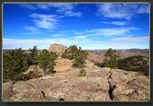
Looking north to Turkey Roost 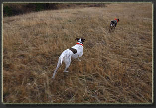
Trotting back to the car |
